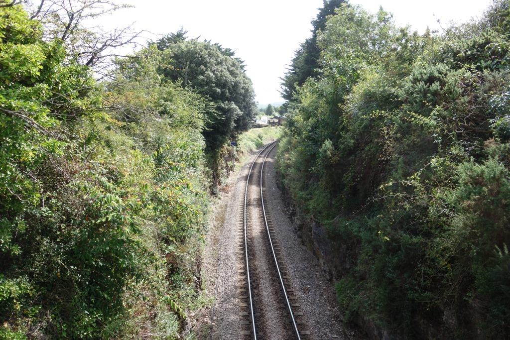
This is another branch that the scout regularly follows, but one which he had before only ever photographed randomly.
Aller Junction
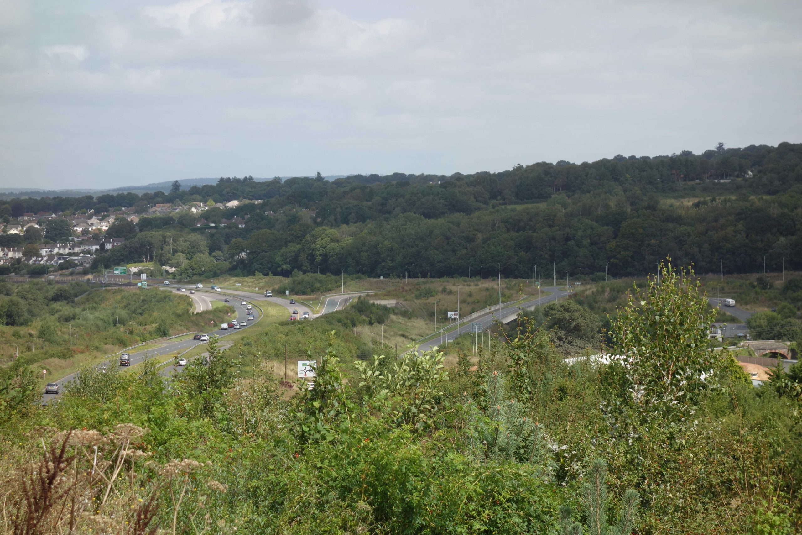
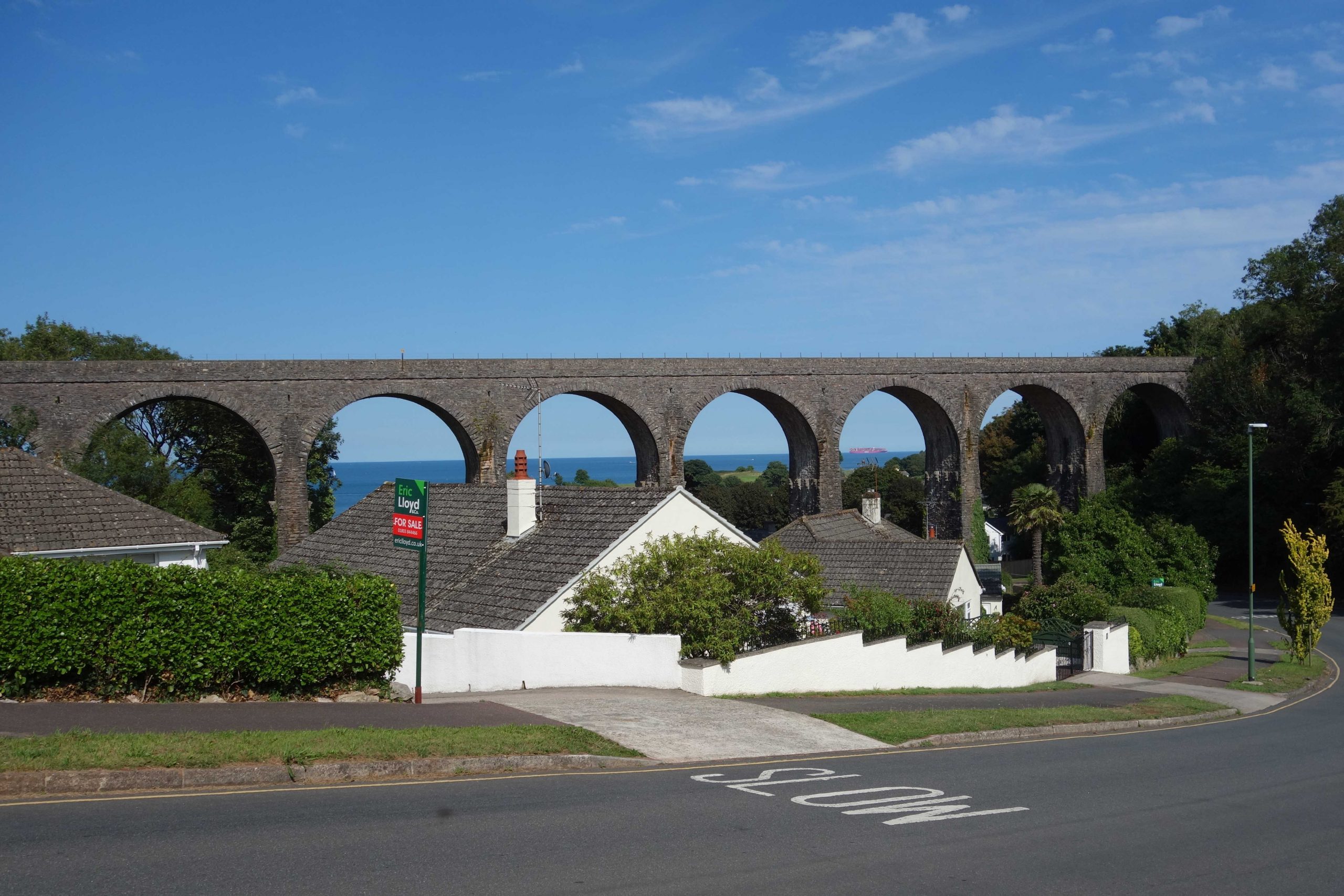
Between Penn Inn and Aller, the South Devon Highway and a service road had to be squeezed in between the railway and a housing estate. Shortly after the junction, the new road was swept across the branch. Two new bridges were needed for the road layout, which greatly disfigured the landscape.
Right: The door and the seat of the Christow fog hut came from Aller Junction, completing the hut which was recovered from Bovey Lane Crossing.
B.R. was paid £3.45 for the hut at Aller but only the woodwork was taken in September, 1986, as far as the scout can remember.


The scout remembers returning from Plymouth and seeing a Class 50 derailed on the junction points, which were equipped with swing-nose crossings.
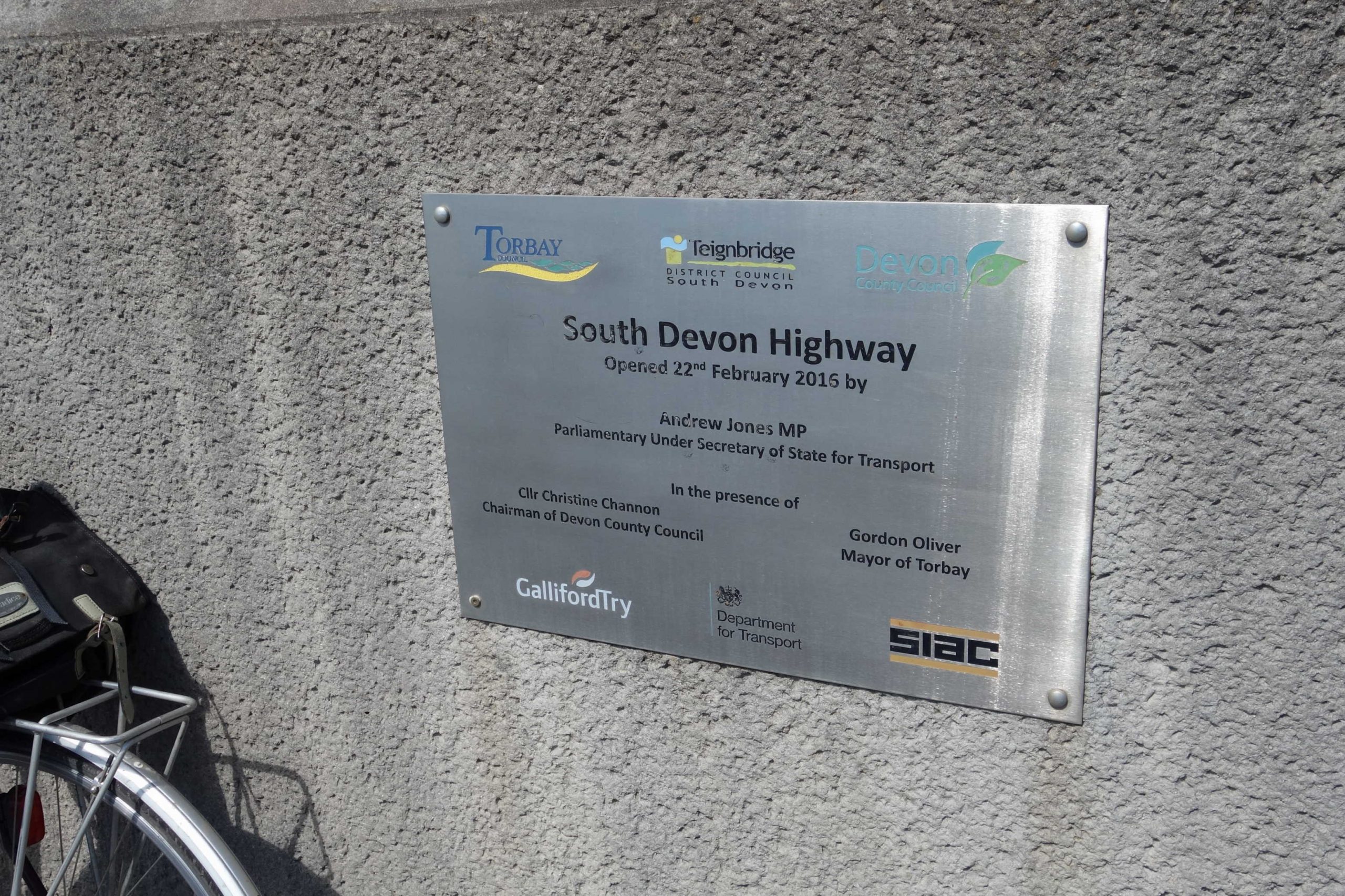
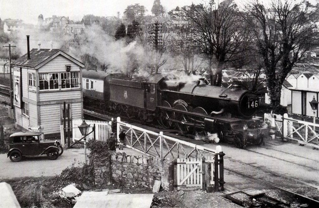
The scout photographed stages of the highway’s construction, starting with the course being marked by cones and finishing with the completed works. The story of how a road just had to be built is told briefly in “Kingskerswell Bypass.”


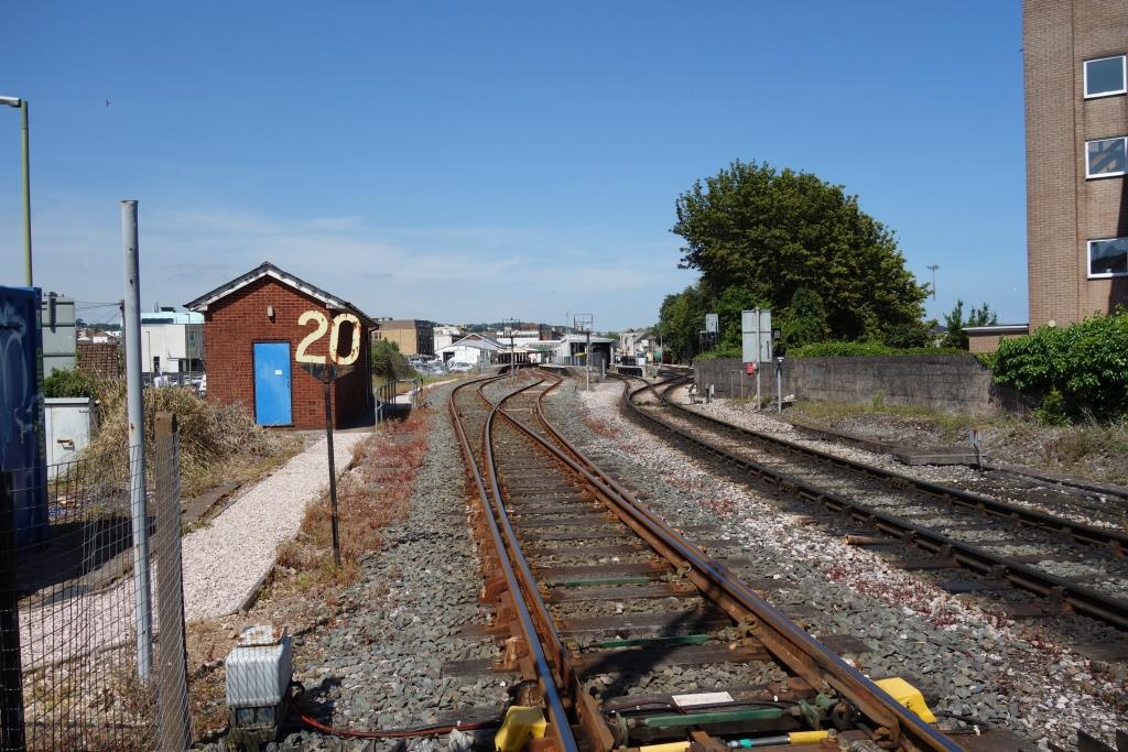
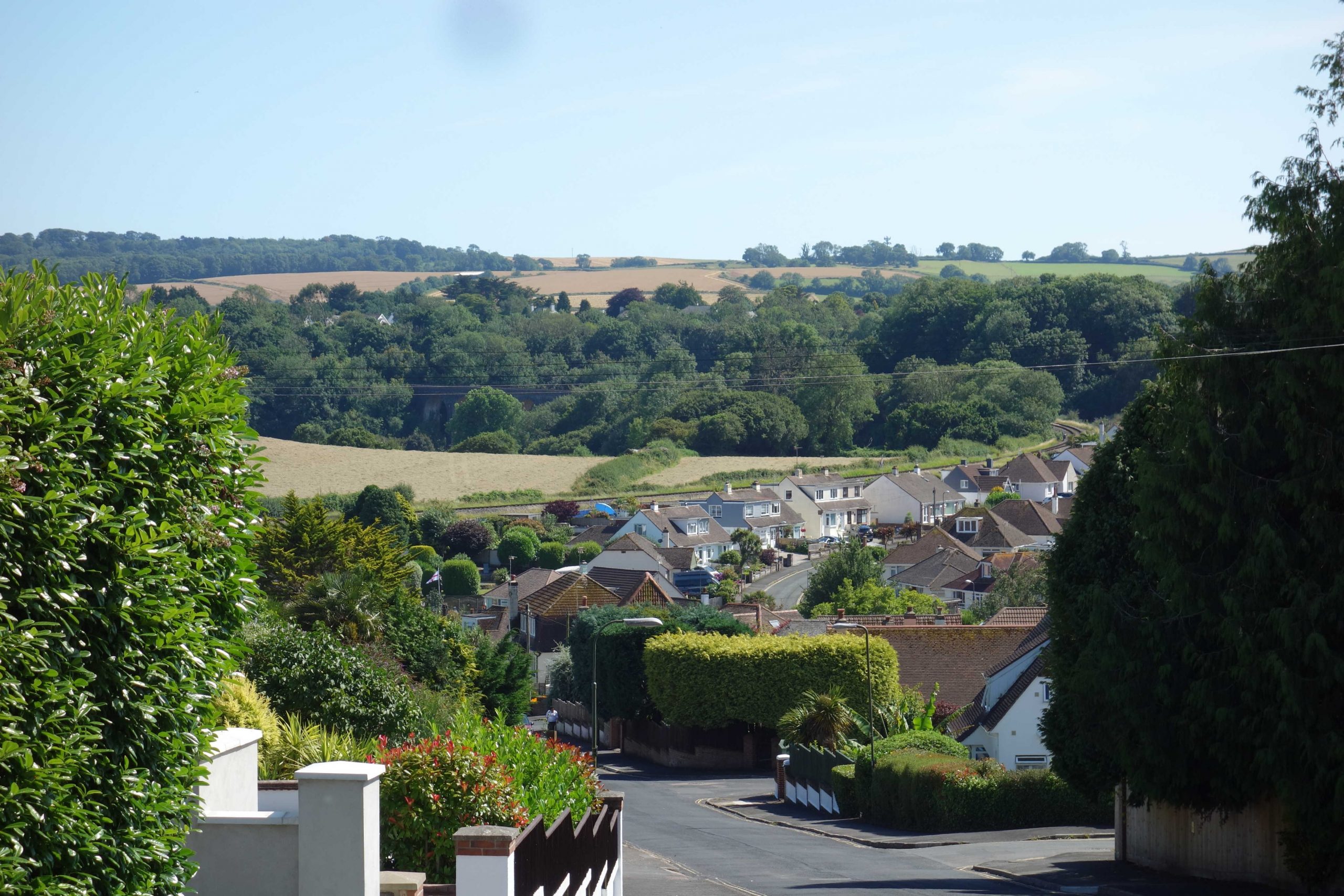
Kingskerswell
Kingskerswell was listed in the 1995 Devon County Structure Plan for reopening by 2011, along with Brent, Cullompton, Okehampton, Plympton and Tavistock. Okehampton alone was reopened, in 2021.


The turnpike bypassed the village in the 19th Century. It included Kingskerswell Arch, carrying Fore Street. The road was widened and straightened over the years and the arch was rebuilt, but in the end it proved inadequate for the weight of traffic.
From Great Western DNA Found:
“At the opening of Newton Abbot’s lavishly rebuilt station in 1927, Lord Mildmay, accompanied by the Chairman and Deputy Chairman, the General Manager and most of the chief officers of the Great Western, said that the town had no fewer than 900 employees and that as the largest business the company paid the most rates, adding that unfortunately much of what was contributed had been spent on improving the Newton Abbot to Torquay road.”


Edginswell


Torquay Atmospheric Pumping Station
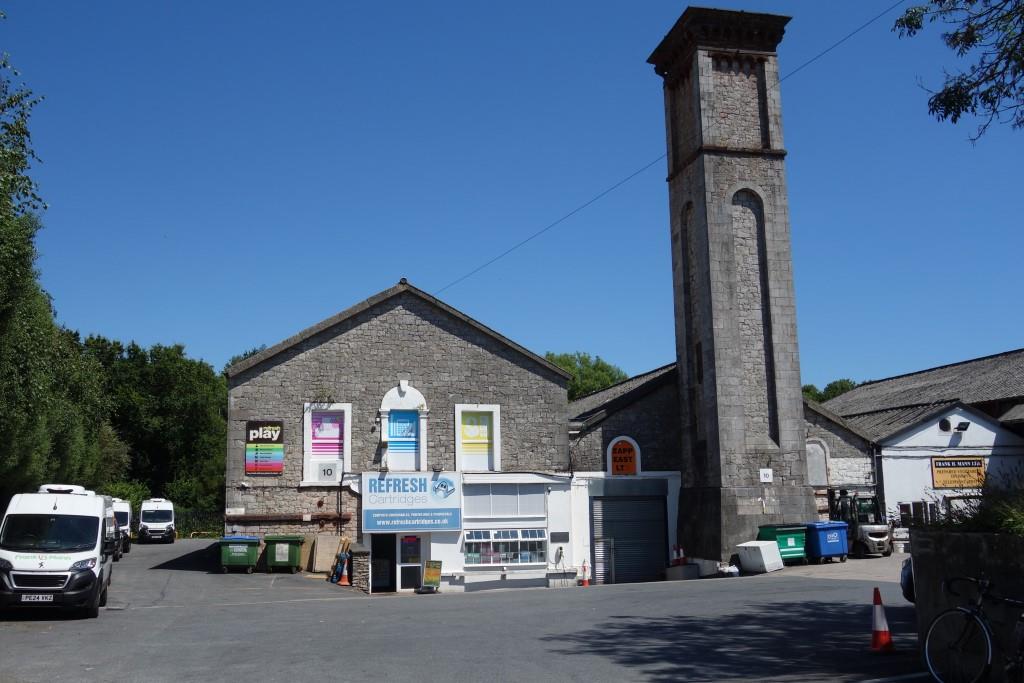
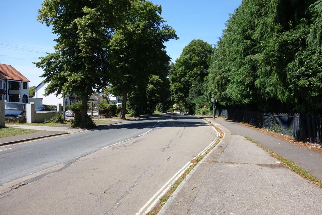
The now bypassed Newton Road would have been the approach to the Bay for countless holidaymakers coming by car or coach.


Torre (originally Torquay)


On Newton Road, outside the station, was the Torquay Tramways terminus.
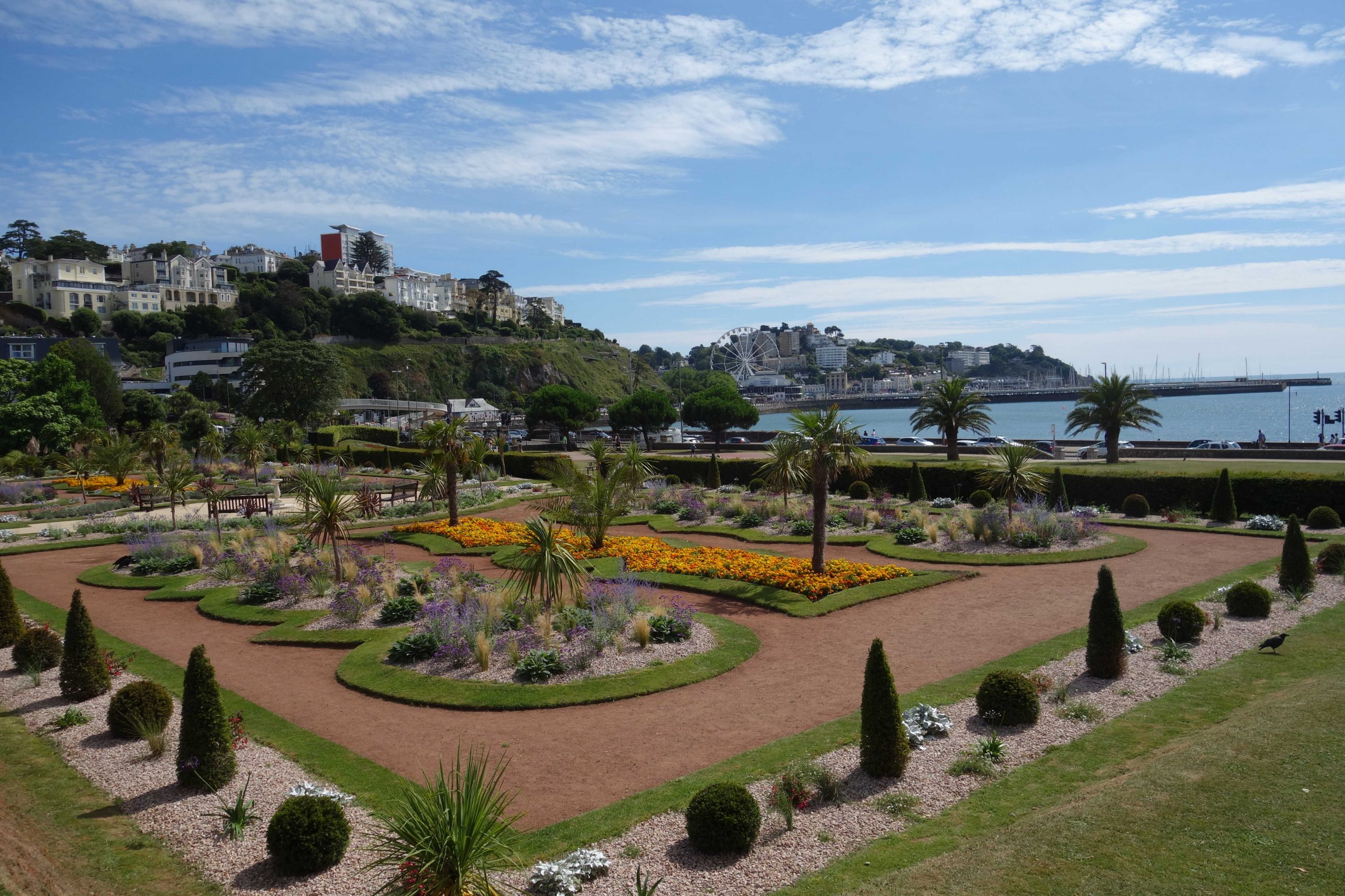
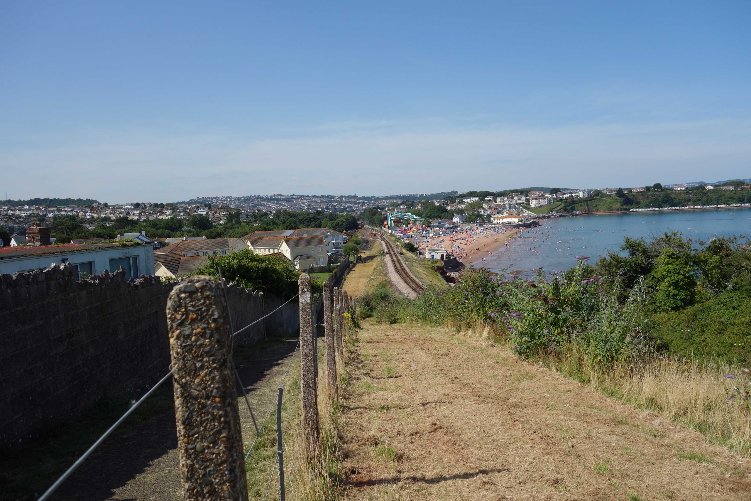
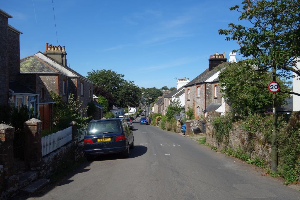
Torquay
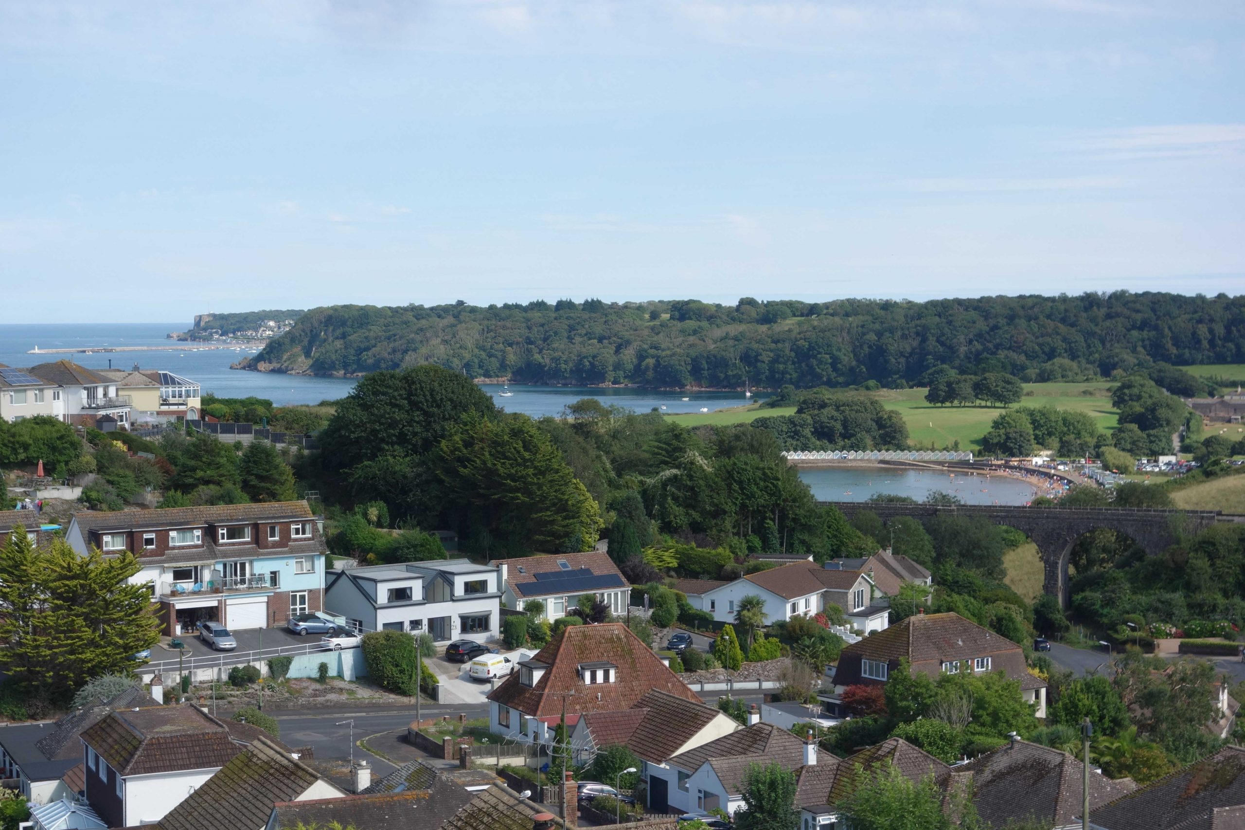
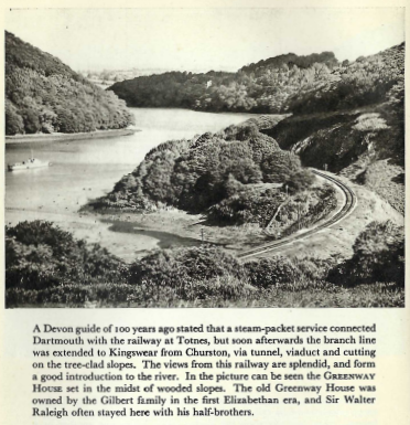
August, 2022: Torbay and Kingswear.


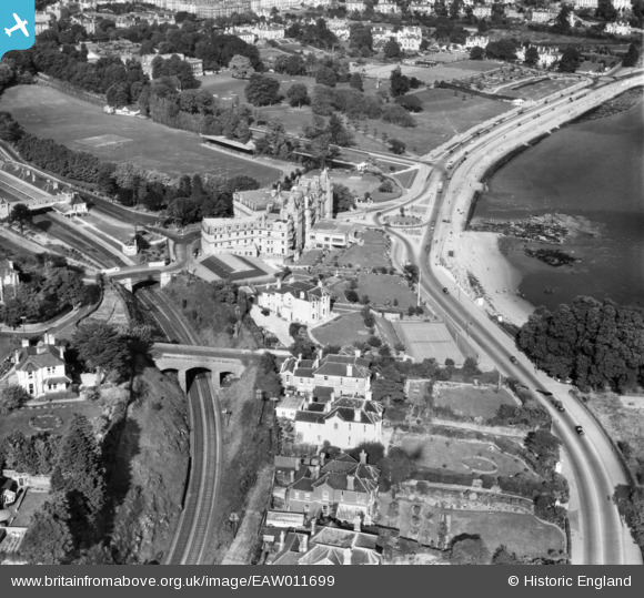
Part of Torquay Station can be seen at middle left. Tor Abbey is at top left. Corbyn’s Head (Corbons Head on early 25 in. surveys) lies off camera at bottom right.
Fortunately, most of the open space seen in this 1947 view remains
Despite all the Bay’s problems, though, hidden and obvious, it is still possible to enjoy a magnificent view like this.
Looking across the beautifully kept Abbey Park, Rock Walk can be seen at left. The harbour, protected by Princess Pier (facing) and Haldon Pier, is at right. Torre Abbey is behind the camera. +
The scout covered the obscure Hennapyn Bridge in 2020. The bridge at the station which carries Hennapyn Road is marked Station Road Bridge.


The scout covered the Corbyn Head memorial and the saga of Livermead Bridge being rebuilt in 2022.
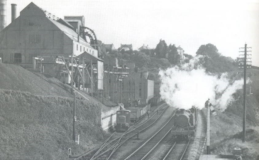
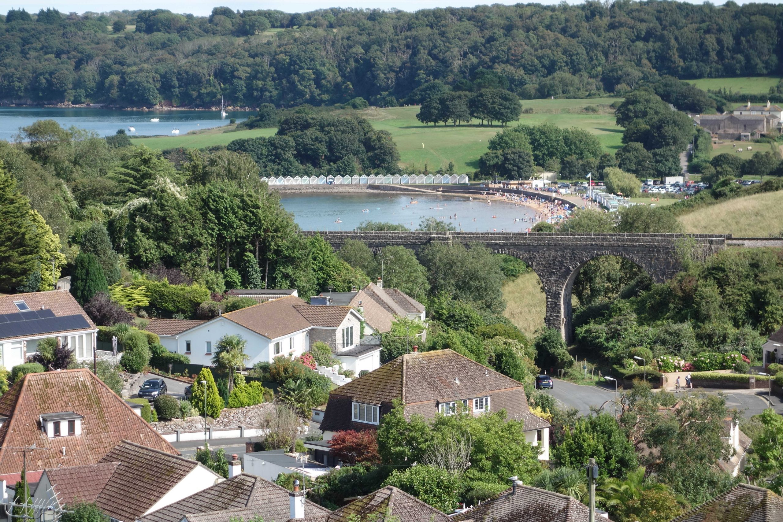
Torquay Gasworks
Much coal was landed at Kingswear and brought to the Hollicombe works by rail.
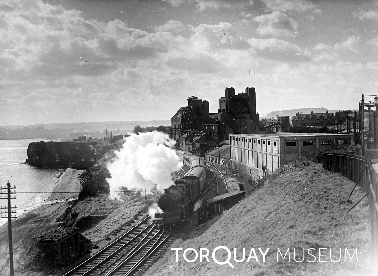
Hollicombe Beach and Hollicombe Head are seen at left. Partly hidden by the engine’s exhaust is Hollicombe Bridge
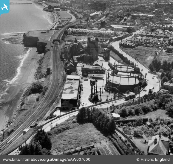
The little trafficked Torbay Road curves past the gasholders. Preston Sands and Paignton Beach can be seen. Paignton Pier at top left was severed as a wartime precaution.


Preston Platform


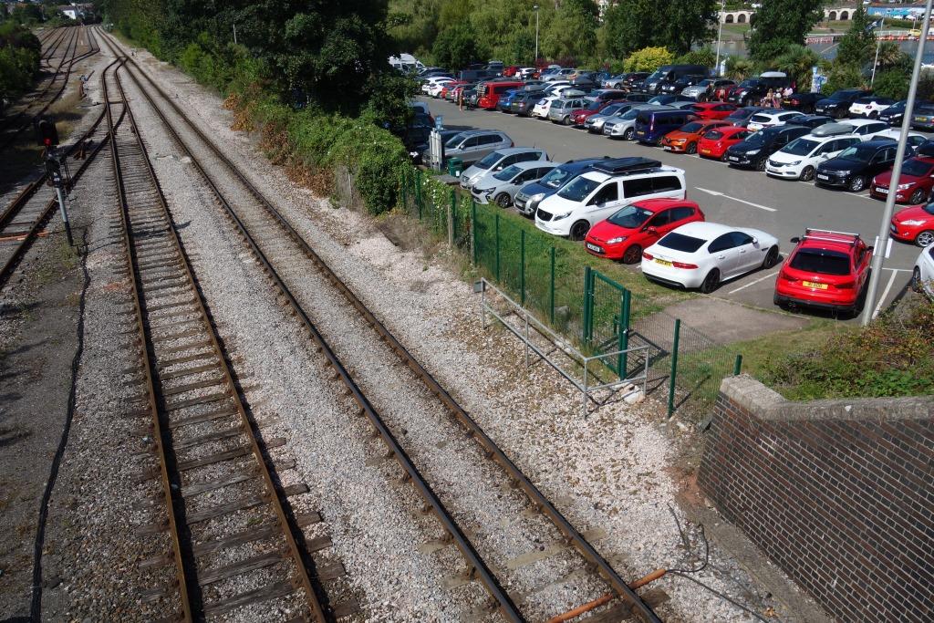
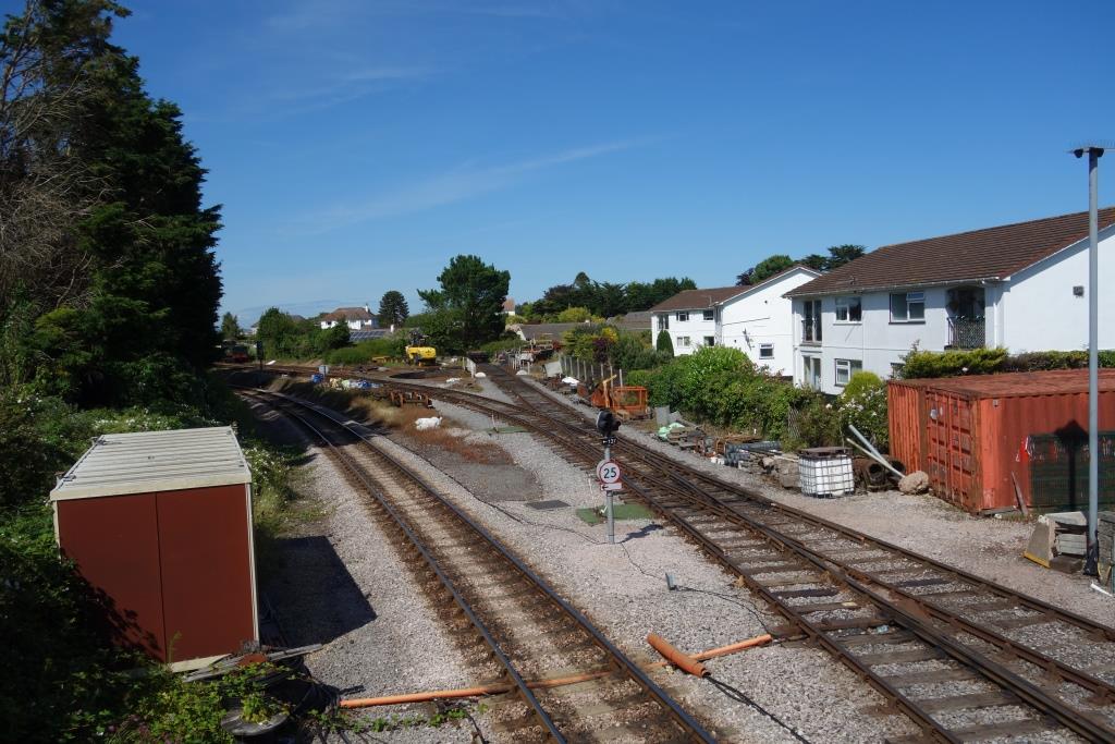
Paignton


Paignton South Crossing
Network lines are at left. The private Paignton & Dartmouth’s lines are at right. Paignton South Signal Box formerly stood at left.
The difference in appearance of a line used by locos with plain bearings and oily motion is obvious. There is not even the spillage of diesel that there once was on the network lines.
The station could hardly have been more poorly equipped to function as a holiday train terminus. The Great Western had plans before the war to enlarge the station using part of Queen’s Park.
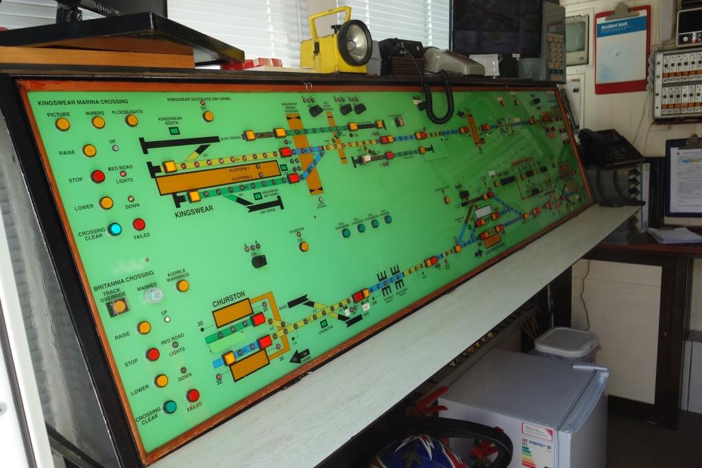
The national section of the branch is controlled from a panel behind the Booking Office in the old Goods Shed. The following is taken from “Dartmouth Steam Railway Signalling System.”
1990 British Rail were by now completing the West of England Resignalling which saw the closure of Paignton South Signal Box.
The crossover between the Networks was retained, but due to the resignalling scheme running short of money, a fully signalled option from the new signal box at Exeter was not possible. The funding was so restricted a small One Switch Control Panel was provided in Paignton Booking Office for the British Rail signalling, with the Level Crossing being converted to Trainman operated, and the crossover between the railways being worked by Ground Frame. The crossover was retained as there were still stock movements between the Buckfastleigh line and the Paignton line as well as the occasional through excursion.


In September, the scout spoke to the young lady who had come from the station to operate the barriers for the one train of the day working to the carriage sidings at Goodrington; there would normally have been two trains, but the Cross Country was cancelled due to a shortage of drivers.
The lady had joined the service from retail after the plague and loved railway work. She had applied for the job of Shunter at St. David’s, but had failed a module; however, she had passed the psychometric test which would be valid for five years.
She told the scout that she cycled from her home in Brixham when she could and that roadworks were causing huge delays.
For one so new to the railway, she was quite knowledgeable. She was able to discuss Clapham and Hidden, and was aware of older practices.
The Fireman on the private railway works the crossing from control panels on each side. The lady remarked on him being able to get down from a moving engine and not needing to dress in orange.
Paignton Goods Station
To relieve the cramped facilities at the town station, a new depot was built at nearby Roundham in 1931. It was closed in 1967.


Goodrington Crossing
When the signal box became redundant, it was used for staff accommodation. The scout once ate his lunch there while carriage cleaning on a summer Saturday for a bit of fun. The varied summer Saturday jobs—carriage cleaning and watering; seat reservations, queue control; left luggage; etc.—were popular with men who would never otherwise have an R.D.W. (Rest Day Worked) turn.
Goodrington Sands Halt
The halt, opened in 1928, was taken over by the Dart Valley Railway in 1972. All the stations between Paignton and Kingswear were closed during the plague and have not been reopened.


The scout visited when the country was gripped by plague in spring, 2020.
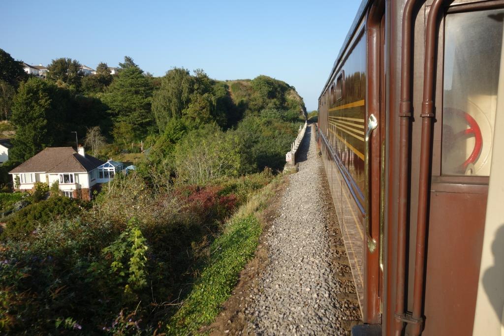
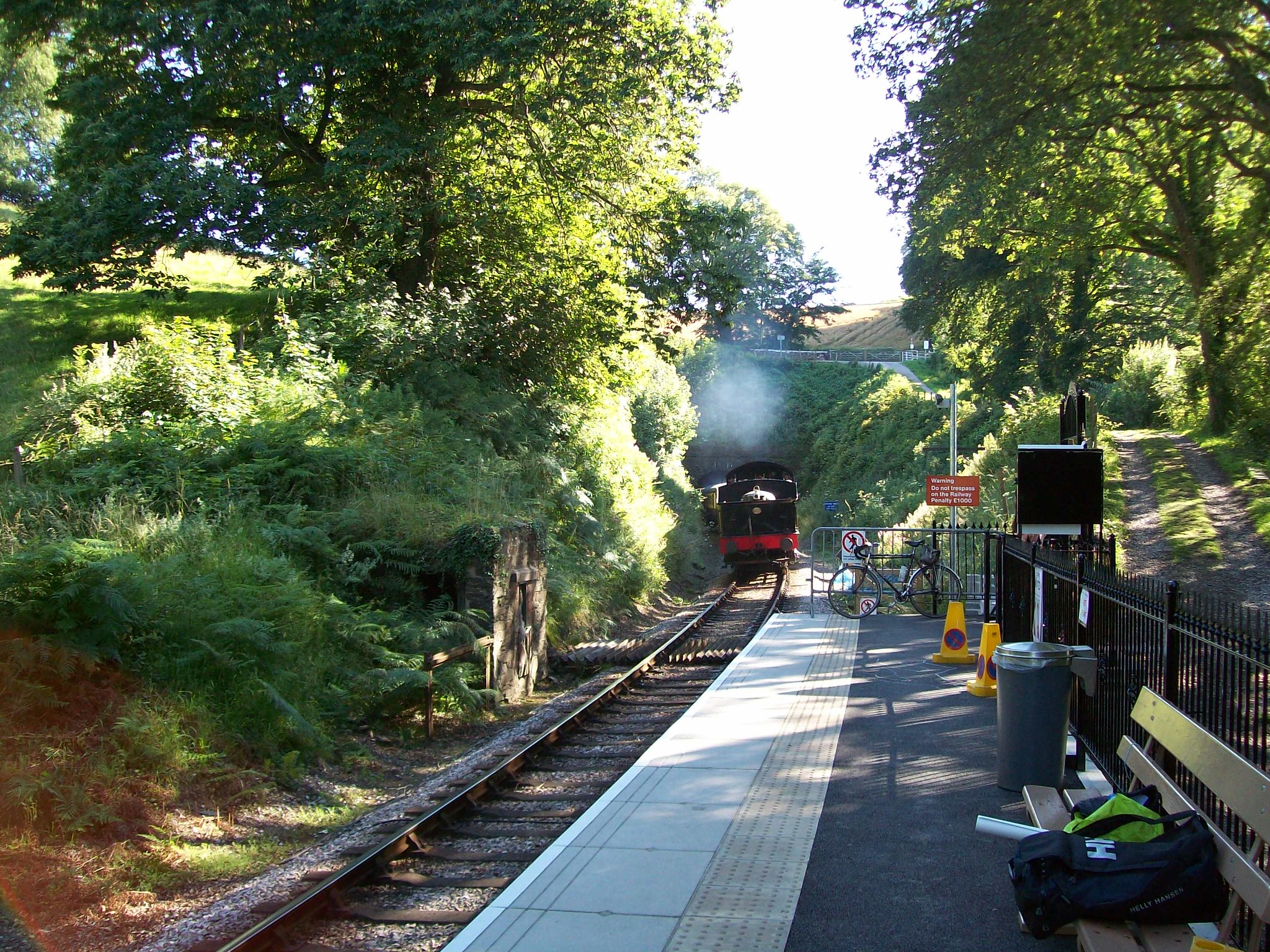
It is thought that the private railway mows the top of the cutting to allow a clear view for photographers, thus discouraging trespass. +
The same view with a train, taken in 2018.


There is no evidence that a halt was provided at Broadsands, or that one was ever proposed.
A “Manor” crossing the viaduct.
The scout carried on down to the beach and was rewarded with the sight of an Ape, supposedly being used as the “Surf Rescue” vehicle.


Churston (formerly Brixham Road)
The station was only a terminus for three years, before the line was extended to Kingswear, but the 25 in. O.S. has for some reason frozen it in the course of construction.


The 1964 film, “The System,” opens with a “Roller” crossing the original station bridge, seen from the Brixham bay platform, and the occupants dashing for the Kingswear train. Locations in Torbay are used, including Brixham Station (explained further under “Brixham Branch”) and, beyond the bay, Dawlish, Dartmouth and Hallsands appear.
Churston Ferrers Grammar School, between the station and Greenway Road, opened in 1957, was sited so as to allow its pupils to come from three directions by train. The Kingswear Branch was closed in 1972 and sold to the Dart Valley Railway, which continued to run trains, principally for the benefit of school pupils, until the end of summer, 1973.


A “Manor” climbing the bank, seen from Greenway Road Bridge (jump to 30 secs.).
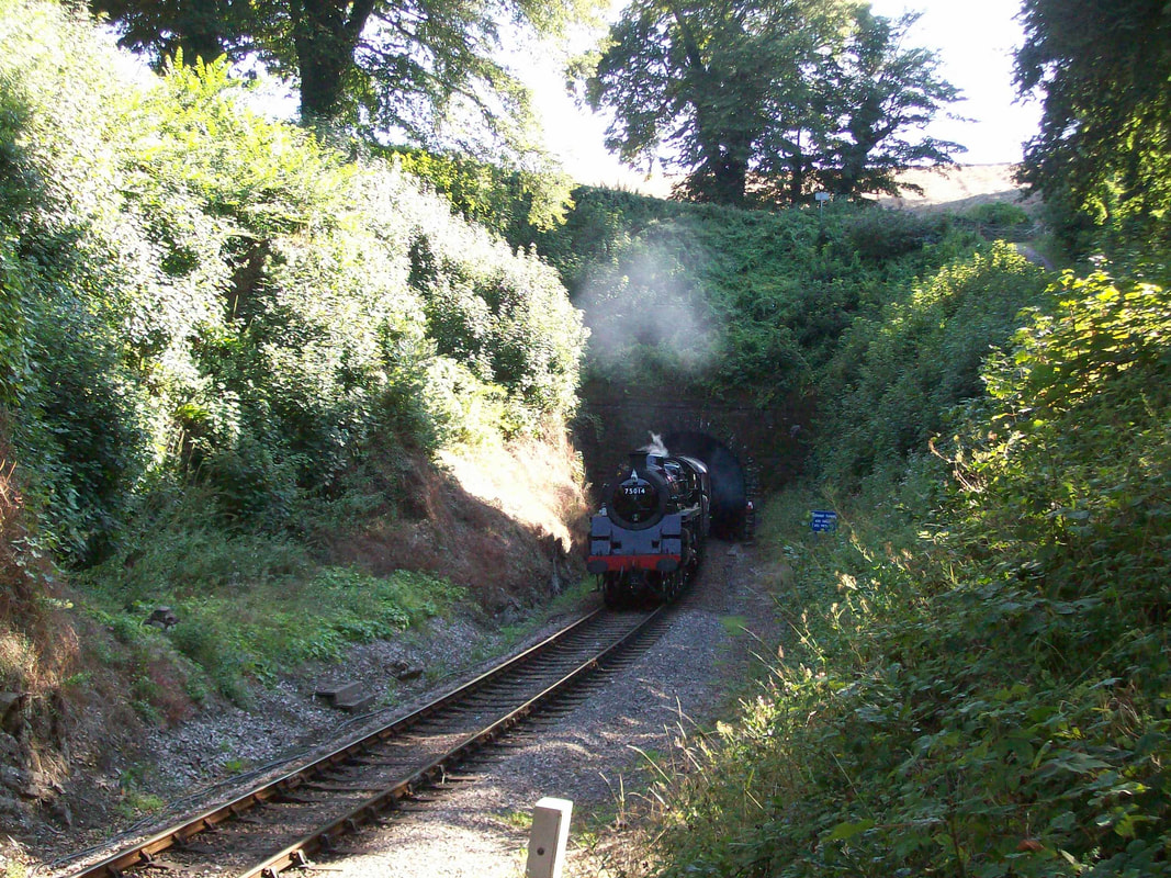
Greenway Halt
The National Trust has tried encouraging visitors to its properties to use other than self-centred transport but it is not thought that the charity contributed to, or even had a hand in, the halt which opened near the northern portal of Greenway Tunnel in 2012.
Having to restart on the climb from Kingswear made it a difficult stopping place but it seemed popular and National Trust visitors were happy to walk the near mile to Agatha Christie’s old home.
But it fell victim to the plague and trains have not called there since 2019.
Noss Yard
A convenient mound of earth produced by the redevelopment of the former shipyard gave the scout a vantage point from which to see part of the 1923 deviation, which is explained in “Britannia Crossing and Noss Yard.”


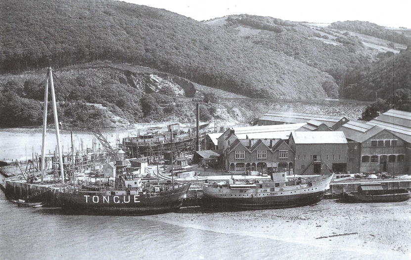
The railway deviation is still starkly obvious. The former course is seen jutting out towards the creek at left.
Plan of Noss Shipyard, showing the internal lines.
Britannia Crossing (originally Steam Ferry Crossing, then Kingswear)
Brittannia Halt and Signal Box. The halt was closed in 1986.
Signalling of the line between Paignton (Queen’s Park) and Kingswear was concentrated here in 1992, upon closure of Churston Box, and a new Britannia Box was built in 1994.
The Signalman, also a Driver, told the scout that the box did not have many visitors, although a little pamphlet, “Dartmouth Steam Railway Signalling System,” is produced for anyone who is interested.
Eyeing the panel, the scout remarked on the closed intermediate stations. The Signalman thought that Greenway was put in very much on the whim of the previous General Manager. Trains ran non-stop during the plague because passengers had to book seats.
Of course, it was found that a considerable saving in coal was made and so through running continued; the intermediate stations had contributed little revenue. There has been much muttering on the subject by people who confuse this with a “pickled” railway but there had apparently been no real complaints, according to the Signalman.
His years were nearly as advanced as the scout’s and he said that he found firing for more than three trips quite tiring; not the firing, but the getting up and down. He was a “zero hours” (no guarantee of work) man, which suited him.
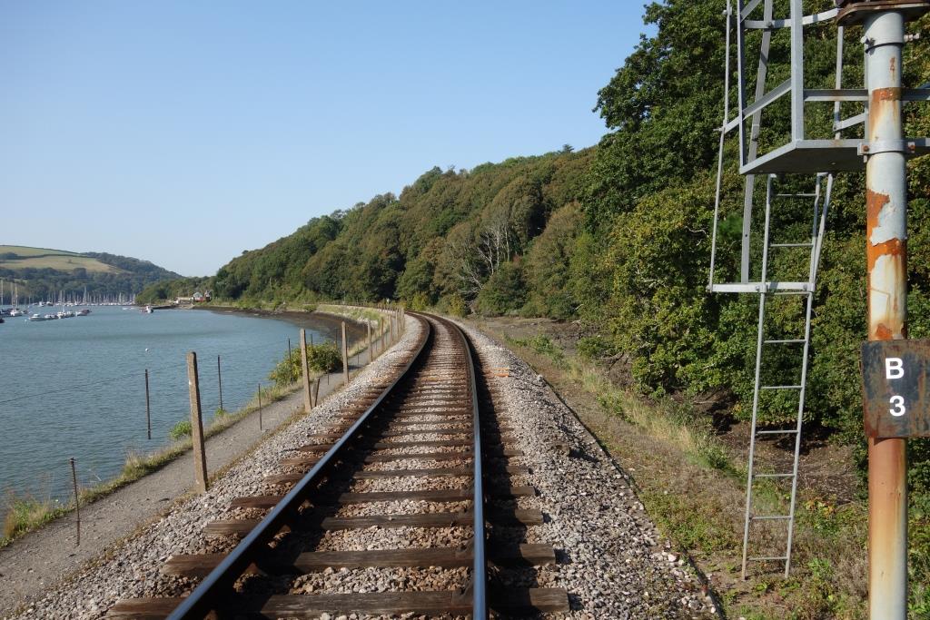
The railway embankment cut off part of the estuary at right.
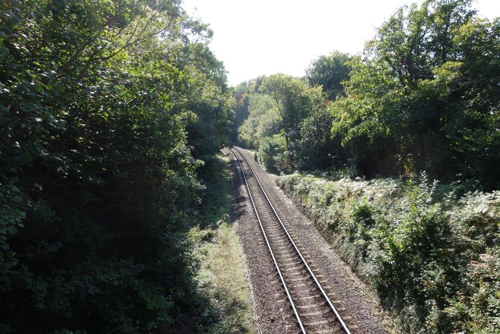
It is a very long way between Britannia and Kingswear for the motorist, either by two ferries or two very long hills, but the pedestrian can enjoy the scenic path beside the line or the walk through the woods.
Movie footage of a train Departing Kingswear.
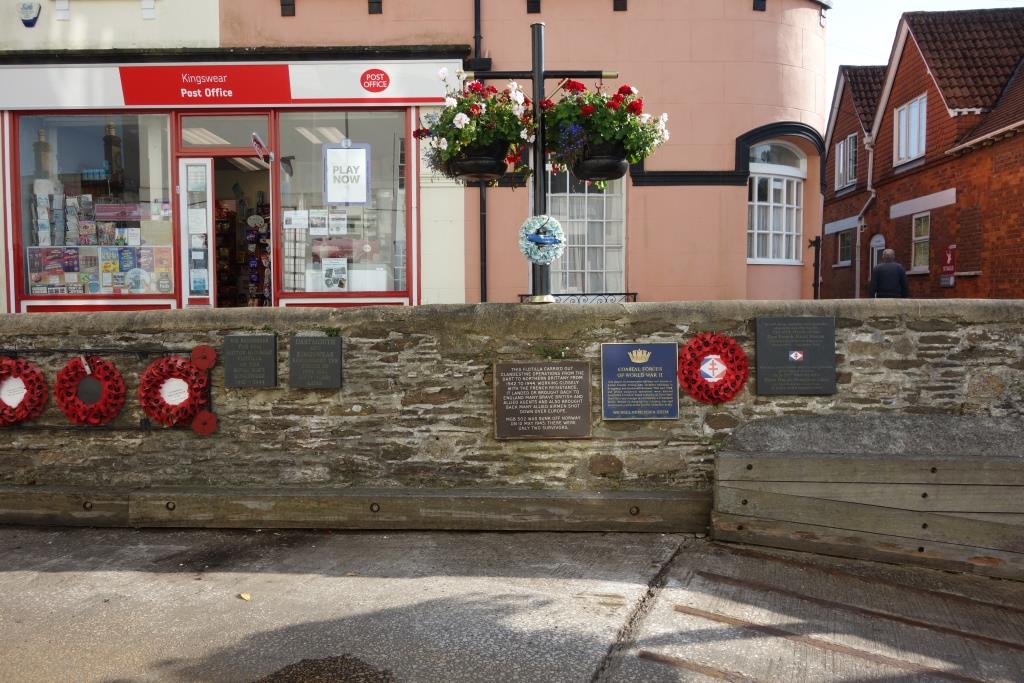
Kingswear (for Dartmouth)


All, or very nearly all, passengers who disgorge from the train at Kingswear go straight to the railway’s ferry, which is included in the ticket price; Dartmouth is, after all, the destination. None will pay £2 for the Lower Ferry, which is more fun and a much older service.
Kingswear lacks the watering holes and eateries and history of Dartmouth but easily a few hours could be spent ambling out towards Kingswear Castle, away from the crowd.
Following the coast path to Brixham, via Brownstone Battery, Man Sands and Berry Head, with perhaps a bit of lunch at the National Trust’s Coleton Fishacre, would need a full day. The scout once did this and quite by chance met the mysterious and delectable Juliette, with whom he walked most of the way, making it a particularly memorable occasion.
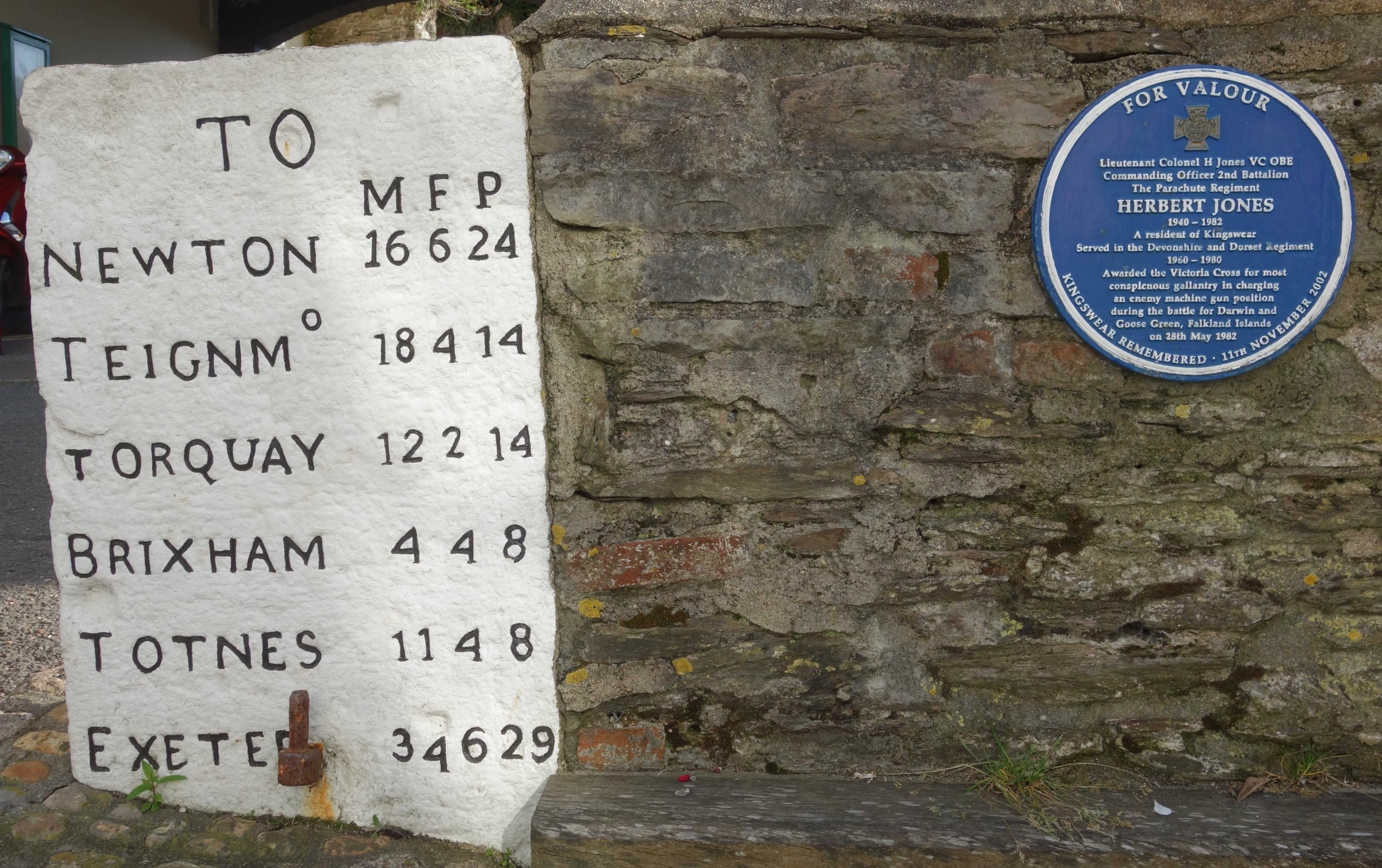
(8 furlongs to a mile; 40 poles to a furlong) +
In September, the scout bought his ticket from the counter of the shop, the booking office having long ago closed. It can be seen that a seat was allocated but the scout chose to stand at the window and film the journey from Britannia to Churston.
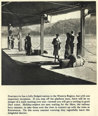
Dartmouth
The station had a railway mileage, but only for the purposes of marine works: 228 miles 70 chains.