It had been ten years since the scout had followed this long lost line so he returned for a refresher. The railway reached a spectacular coastline, a draw in itself.
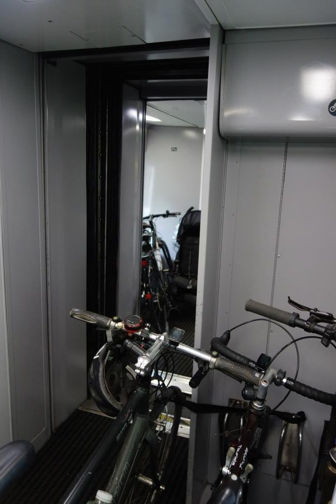
There was only one other cyclist on the platform at St. David’s but when the Barnstaple train arrived from Central, a family of four with bicycles appeared. The scout was pleased to find that there was additional accommodation on the Class 158 D.M.U., sufficient for the six bicycles.
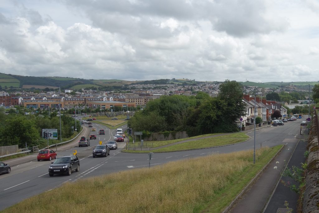
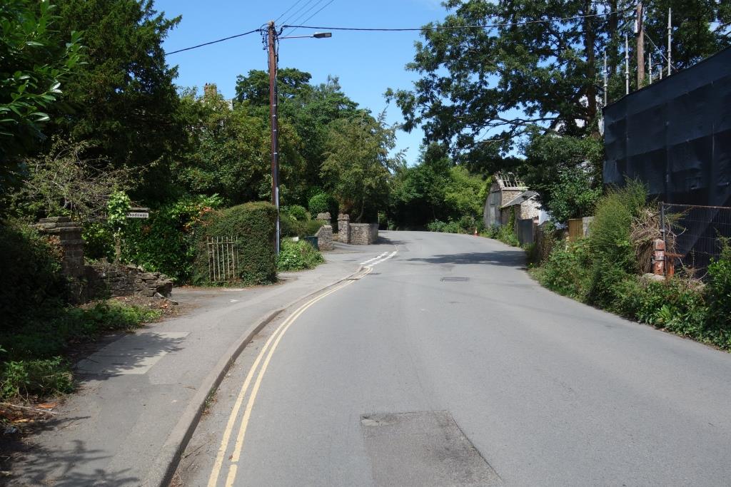
From the junction, the scout rode up Sticklepath Hill, bypassed in 2007 by an entirely new road system built around the new downstream Taw Bridge. Sticklepath Hill was itself a bypass of what became Old Stickepath Hill.
The scout stopped to photograph the old and the new from High Wall, before taking the old turnpike to Bideford.
The A3125, at left, blocks the course of the line to Bideford, although the embankment was supposed to have been made so as to allow an underbridge. At far right, a bus can be seen about to take the short cut beneath the A361 to the station.
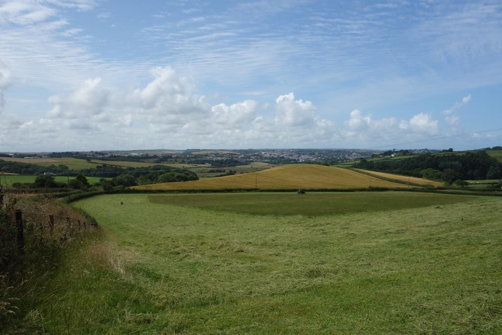
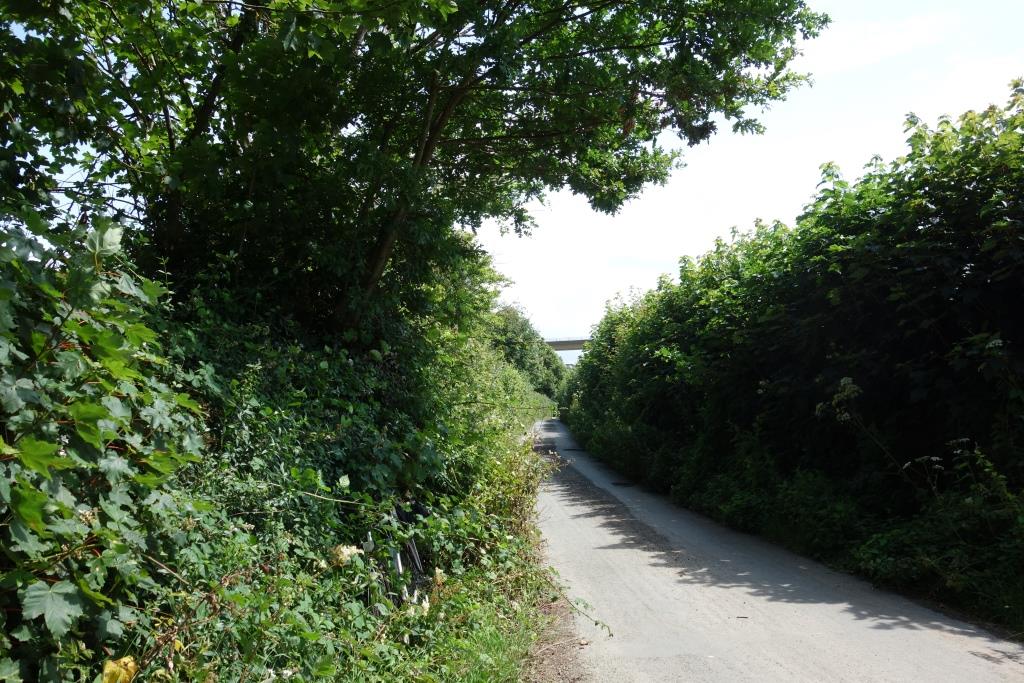
The old road was certainly a more enjoyable ride than the awful modern road. Some of the speeding vehicles the scout thought was through traffic.
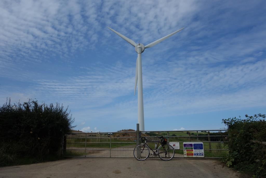
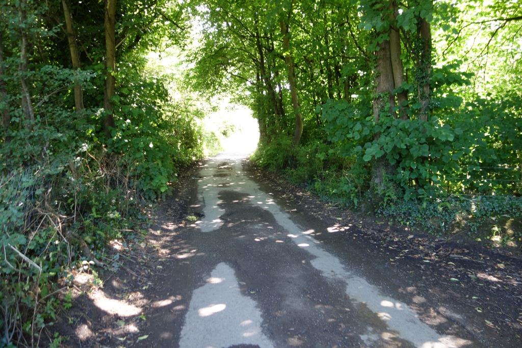
This turbine, at Collacott Farm, must have been one of those seen from Fullabrook Down earlier in the month. A large solar station lies nearby.
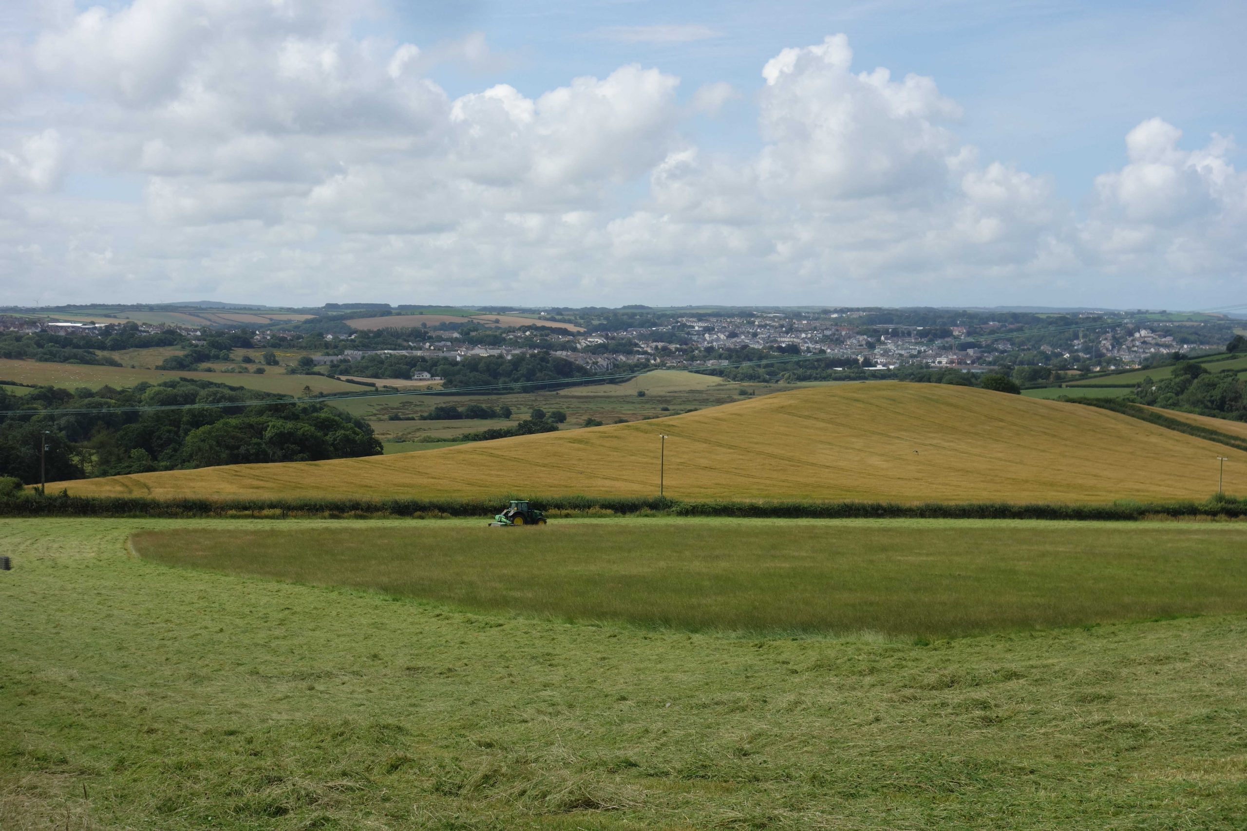
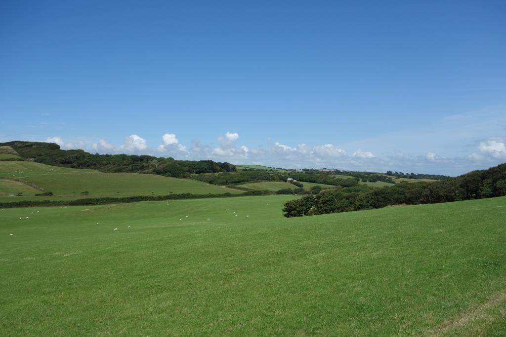
Bideford came into view from the high ground. What was now Old Barnstaple Road lies at left.
The Pill Road (formerly The Rope Walk) is ahead, at right. At left is the junction of today’s Chingswell Street with Kingsley Road, the A386. The railway ran just this side of Kingsley Road and here was just a stopping place with no platform.
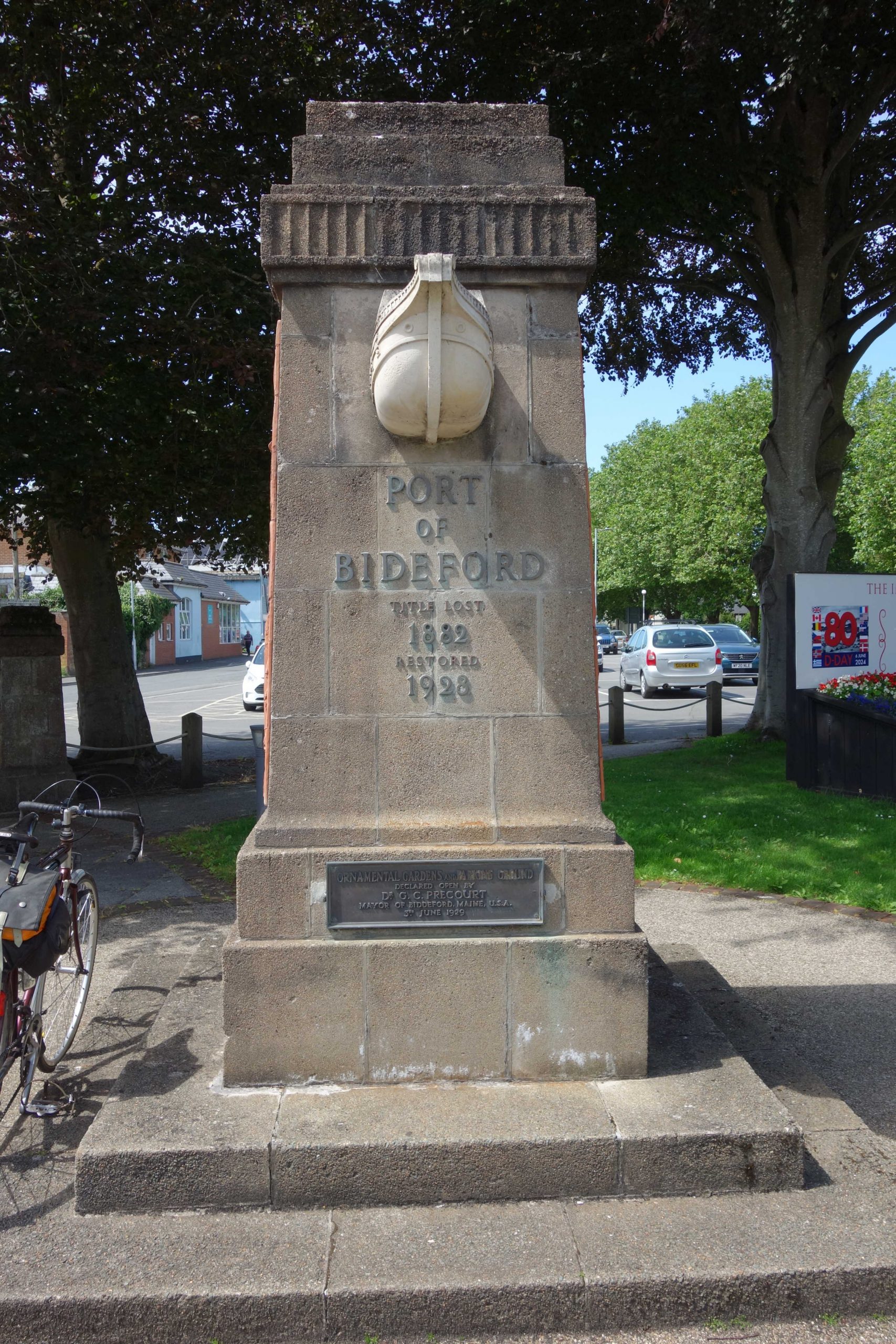
Nothing of Bideford lay beyond here when the railway was built and little after it closed. Later, the course of the line was turned into a road, now the busy A386.
Chanter’s Lane Halt
The scout is standing on the site of the halt (shown simply as “The Lane” on the 25 in. survey), looking across to Chanter’s Lane, which now continues as Alexander Terrace behind the camera.
Causeway Crossing Halt
Only 300 yards from Chanter’s Lane, the line crossed Northam Road, where there was a level crossing. A tall signal box and a Crossing Keeper’s cottage were provided at right. Northam Road was the only road from Bideford to Northam before Kingsley Road was built.
The scout followed Northam Road, turning onto Northdown Road. A short detour was made to the site of a former level crossing, whose name hasn’t been learned.
Kenwith Castle Halt
The scout remembered searching for any evidence of the halt in 2014, when there was an opening in the hedge here. No gap could be found this time. The Kenwith Valley viaduct, completed in 1987 to carry the A39, can be seen at centre.
Abbotsham Road
The detour to the former crossing at Abbotsham Road was only made for the sake of completeness. The two platforms were to the left.
The public road ends at Abbotsham Court, but a footpath leads to the coast.
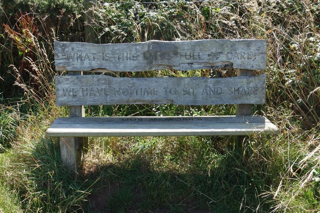
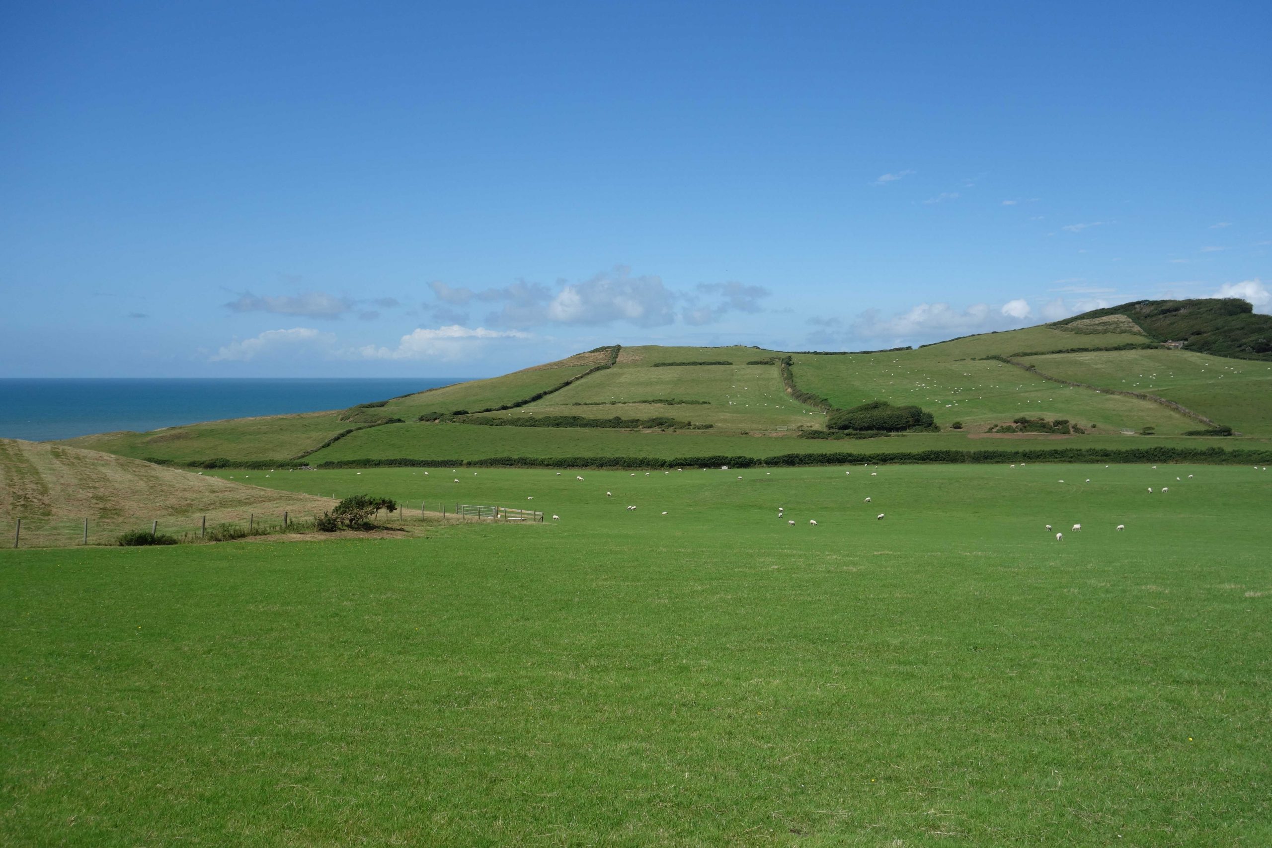
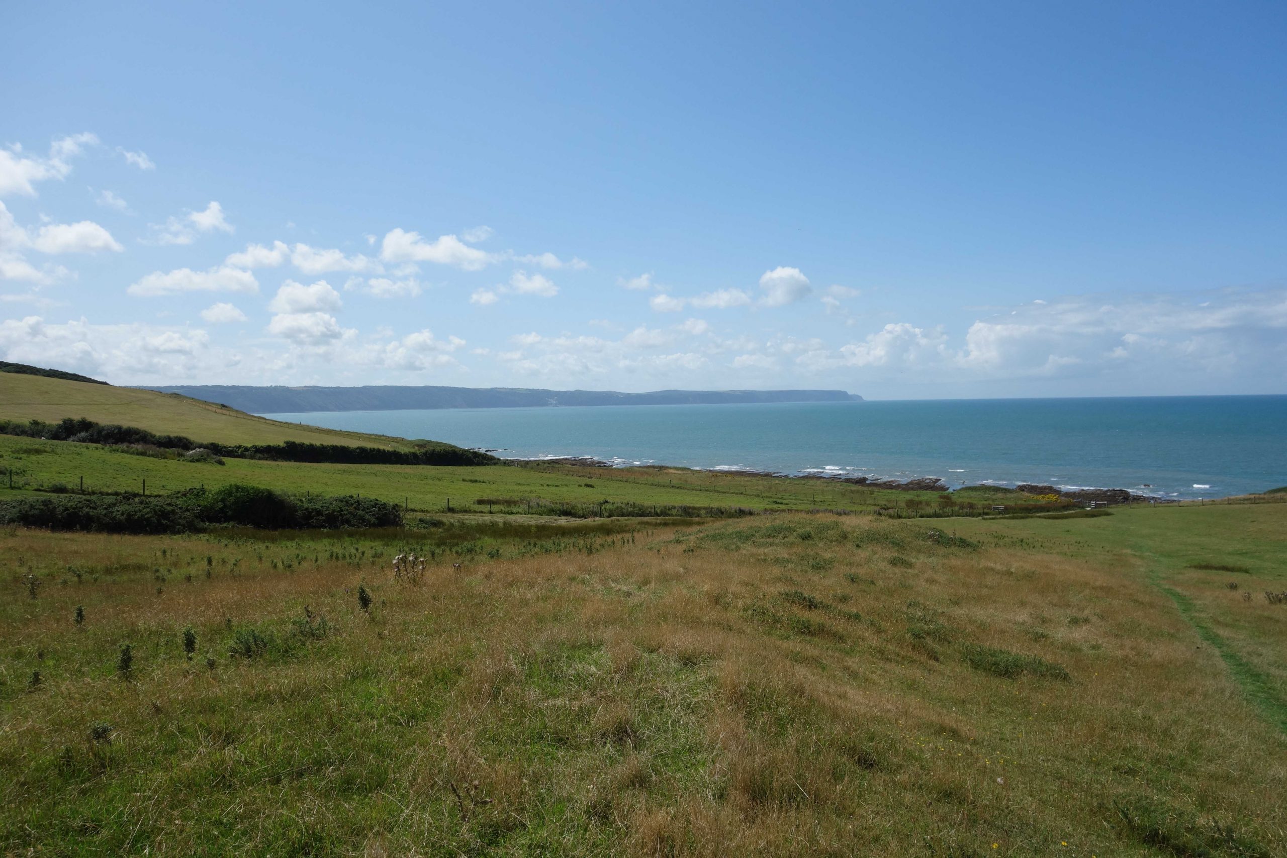
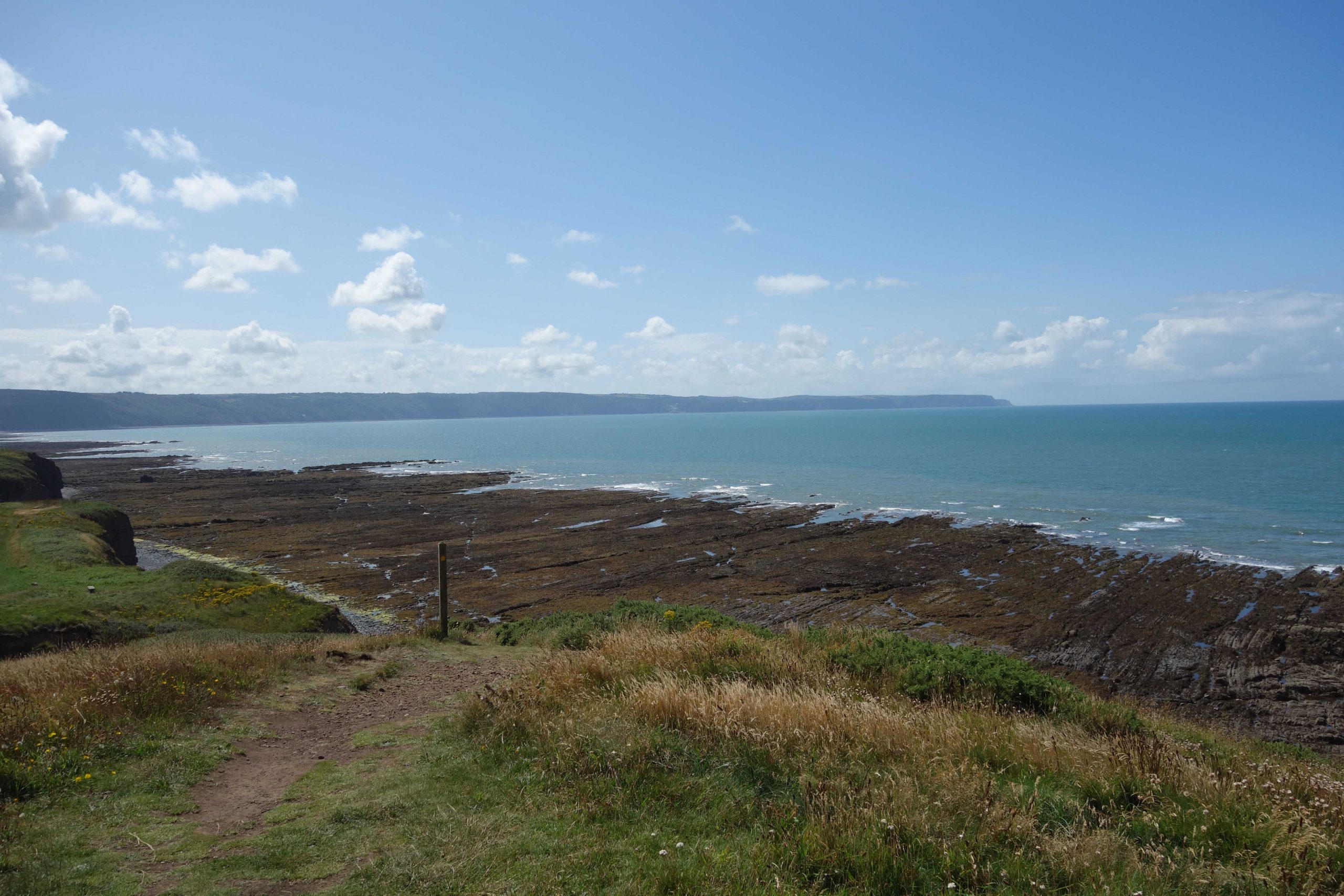
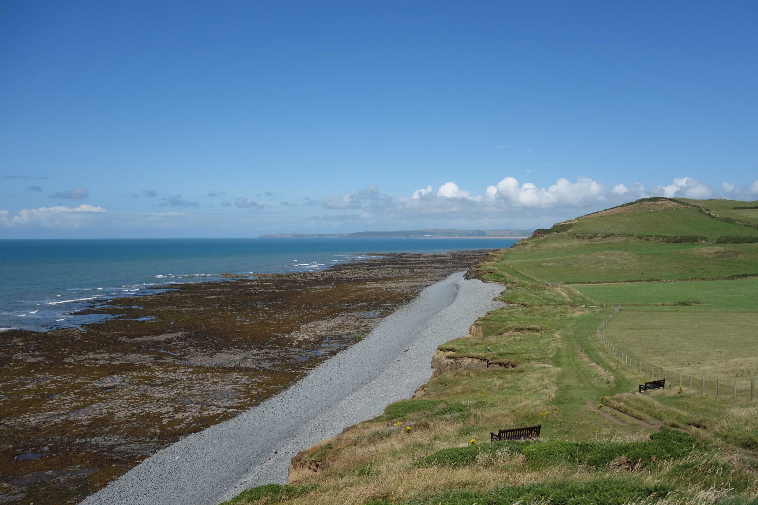
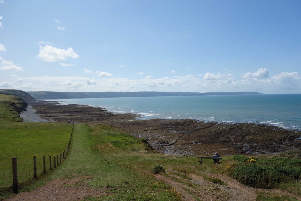
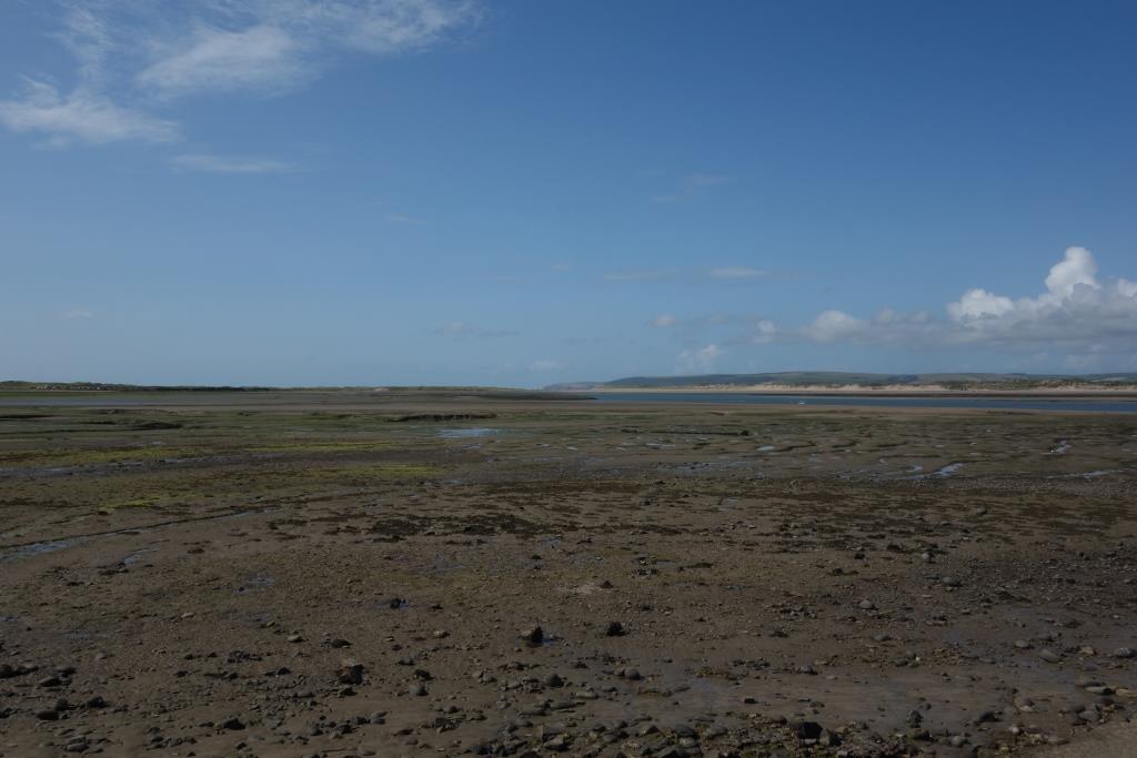
The second line of Davies’ poem has been altered: “We have no time to sit and share Our memories.” The scout had done plenty of staring, but had no time to sit because his tummy was rumbling.Looking inland, the railway’s formation is just visible at centre left.Turning the camera, the course of the line is clear at centre, curving to follow the cliffs at left. +As the scout descended to the coast path, Clovelly and Hartland Point came into view. +The same view from Abbotham Cliffs. +Turning around, Baggy Point can be seen at left, with the Saunton Sands Hotel at centre. +This must have been one of the most spectacular views from a railway carriage window; or verandah, if passengers were allowed to ride on the verandah. This is the point at which the railway met the cliffs. +
Cornborough Cliffs Halt
Fullabrook Down can be seen at left, with gaunt Seafield right of centre. +
Westward Ho!
The scout ate a late lunch on the promenade in front of the old station, watching the driftwood of humanity.
Beach Road
This is marked as Henger’s Lane on the 25 in. survey. The level crossing was where the scout’s bicycle is seen, but he does not know which side of today’s Beach Road trains once stopped.
Northam
This was the terminus of the line until the extension to Appledore was opened in 1908.
The extension never appeared on the O.S. map, but residual boundaries give away its course.
Richmond Road Halt
Lover’s Lane Halt
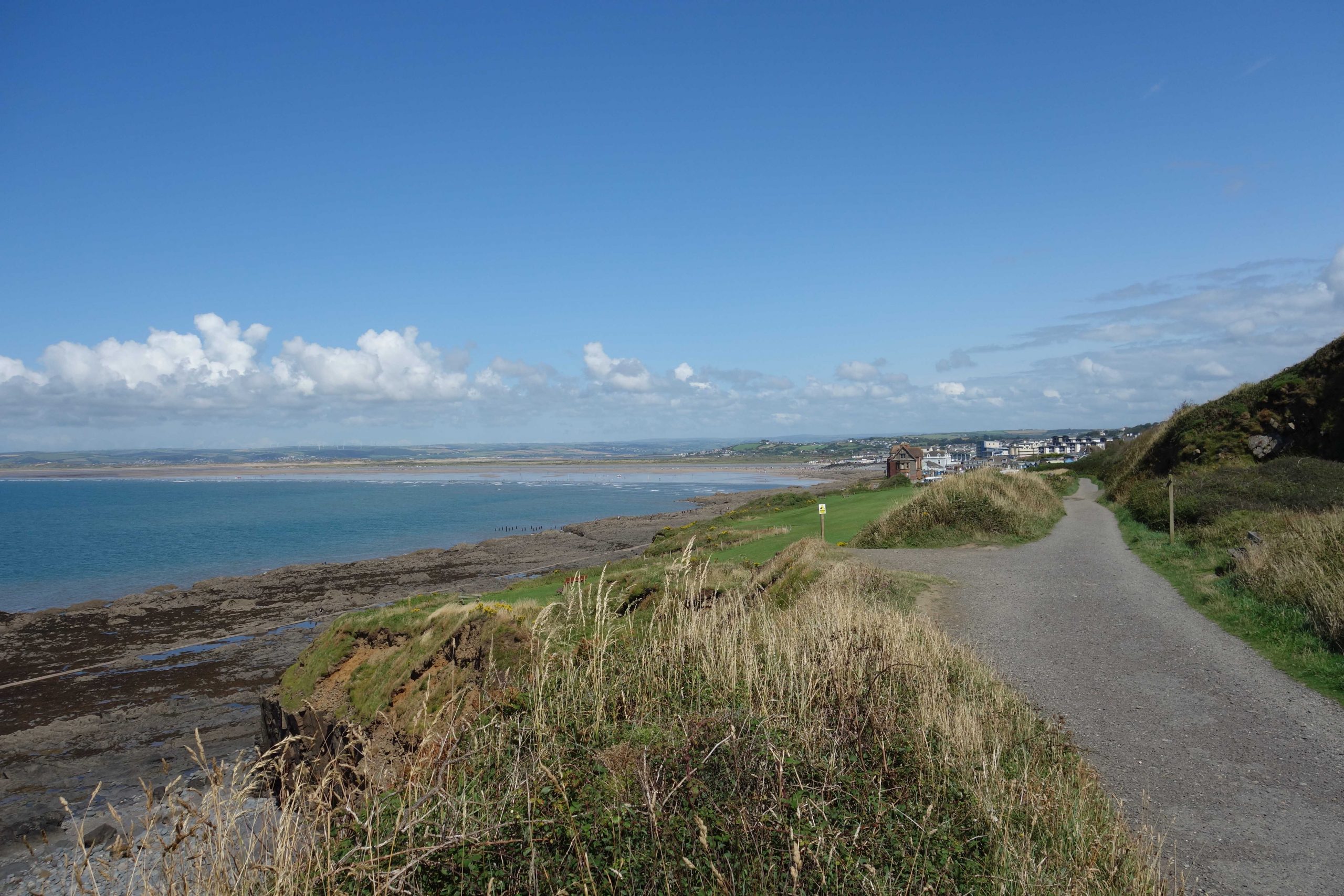
The view from the coast path near Appledore.Turning the camera, Fullabrook Down can be seen again, with the lighthouse at Crow Point beneath. +A terrace of houses built on a railway curve.
Appledore
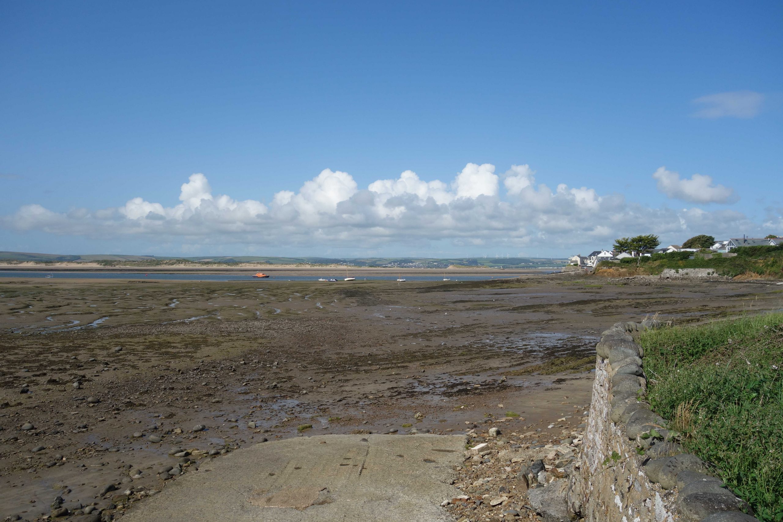
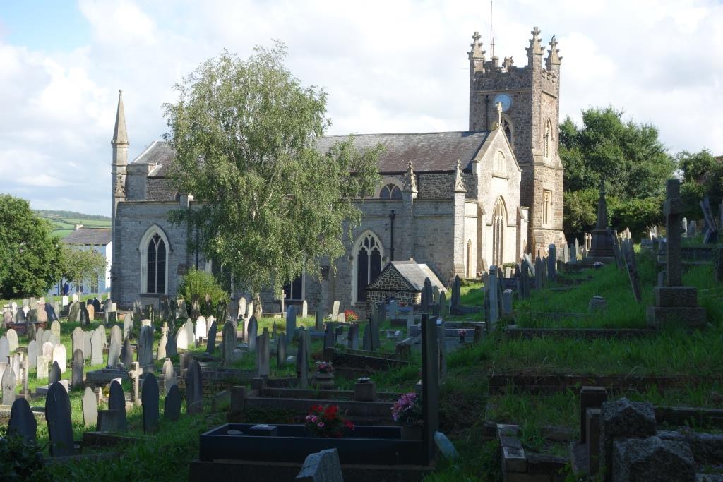
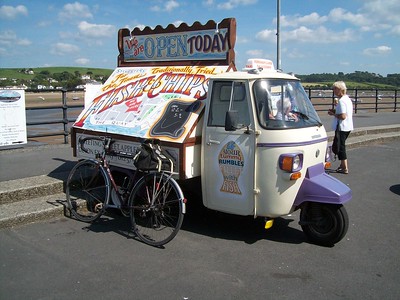
The former station is seen with the Torridge and Taw estuaries in the background. +St. Mary’s and its “crowded” graveyard lie just beyond the former terminus.Fish and chip shop advertizing.Seen on the front in June, 2014.
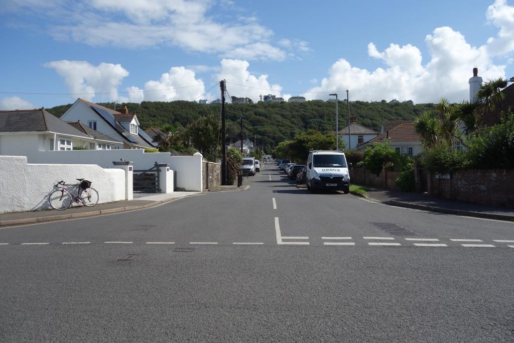
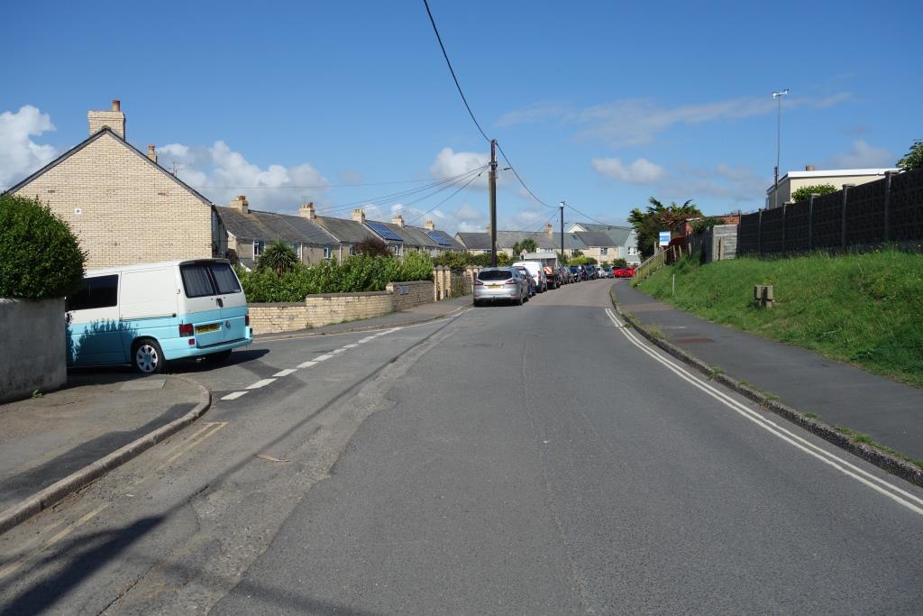
The scout rode up the hill from the functioning shipyard and joined the main roads to Bideford. Not for the first time, the scout was struck by just how much motor traffic can be generated on a small peninsula; the land between Bideford Bay and the Torridge estuary, containing Westward Ho!, Northam and Appledore, is effectively a peninsula.
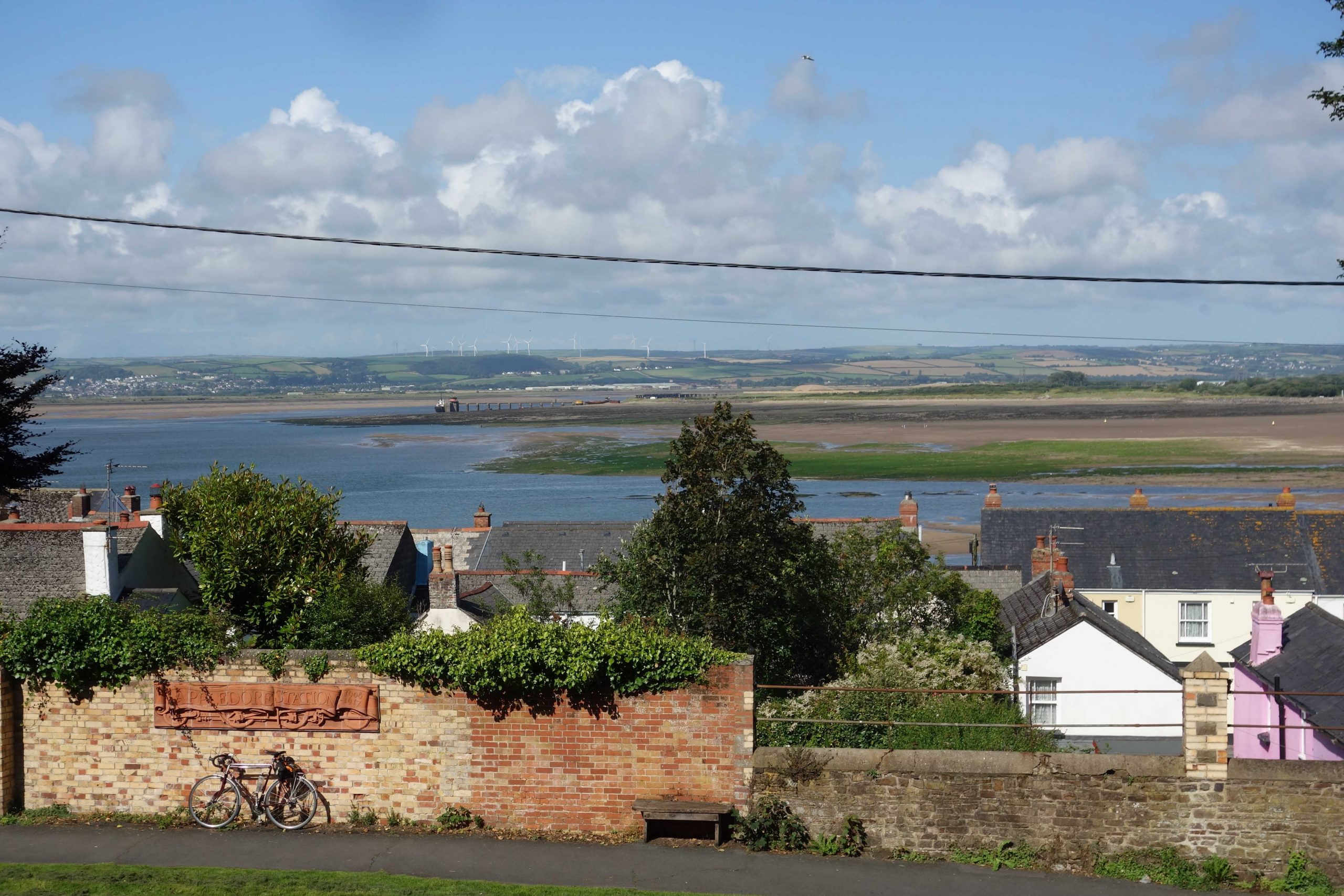
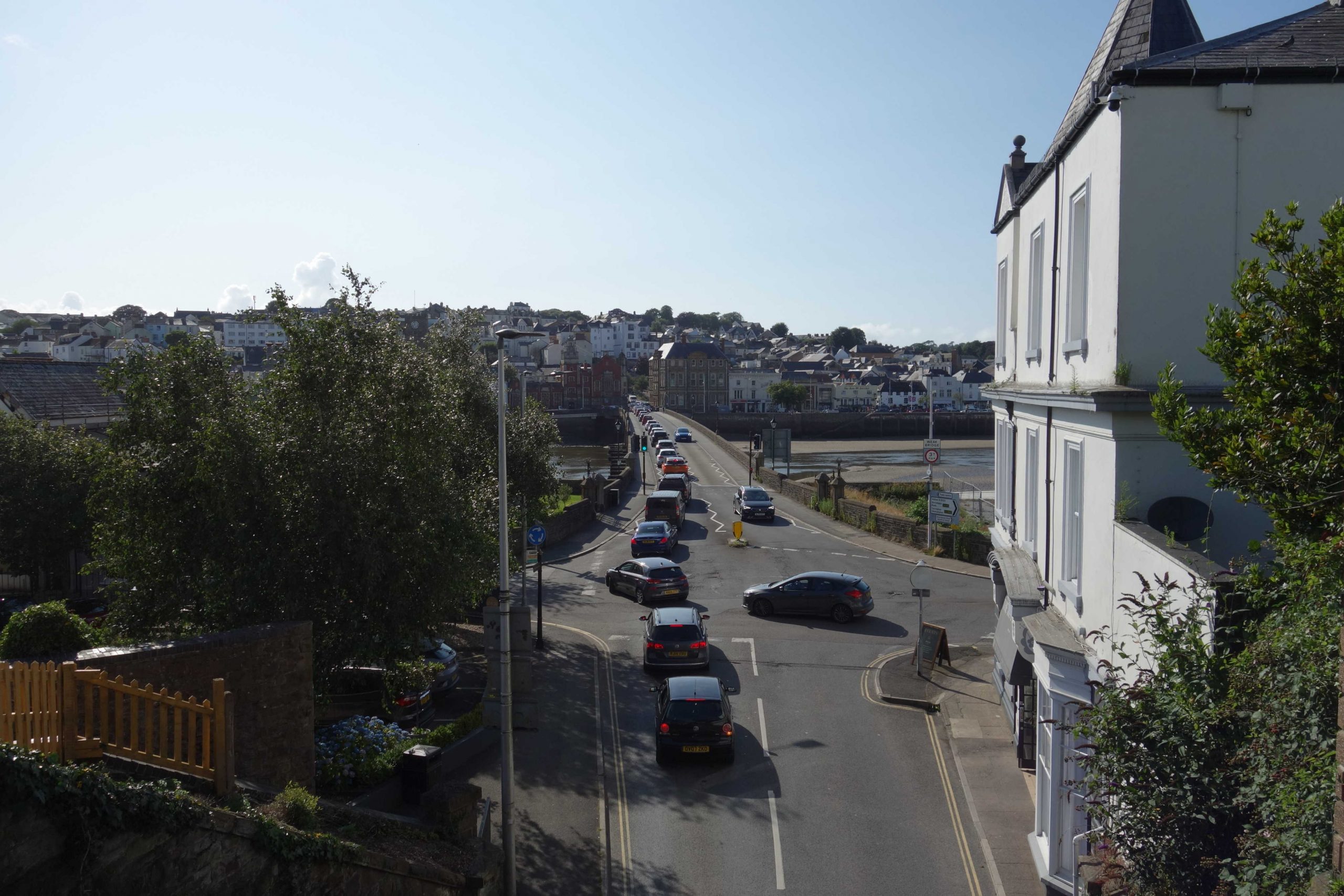
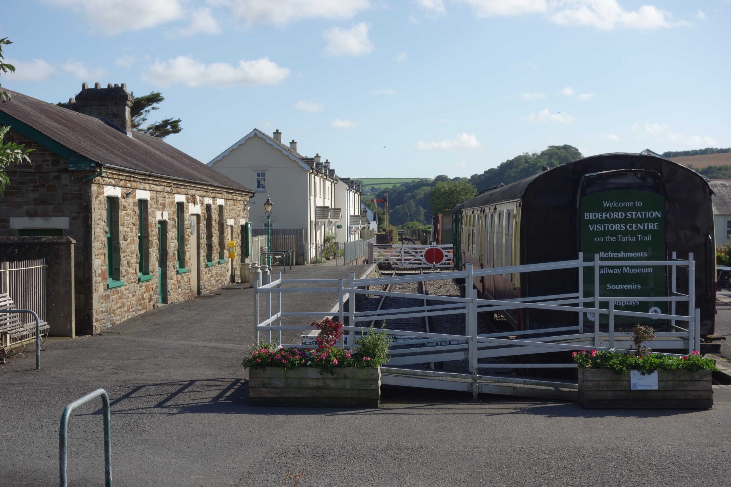
When he reached Bideford, the scout found rush hour traffic queuing on the bridge, along Barnstaple Street (right) and up Station Hill. He cut between cars to reach the old station frontage. It was along this bridge that the three locomotives steamed on temporary track after the railway had been requisitioned in 1917 for the war effort. It is not known how much of it ever reached France. +The scout had a quick look at the sad and deserted station. His connection from here for the 1833 Barum was his bicycle, which departed at around half-five.
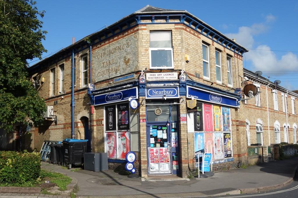
When the scout reached the junction, there was time to go and photograph the scruffy corner shop where he had bought drink and nibbles a fortnight before.
“OFF LICENCE” and “TAKE COURAGE” are in fading paint at left.
The E. & T.V.R. scout, having on occasion sent a few photographs to the esteemed elders of the Cornwall Railway Society, in time rather got into the habit after his outings of submitting a short story, often under the general heading of “Route Learning” or “Route Refresher.”. Read more