
Though four fifths of the North Devon remain, the railway’s estate and functionality is greatly reduced. Despite having ridden beside much of the operational length for some years past, the scout had never followed it from the junction to the present-day terminus on one ride.
Cowley Bridge Junction
The junction of two turnpikes and the confluence of two rivers was not the best place to introduce the junction of two double lines of railway.
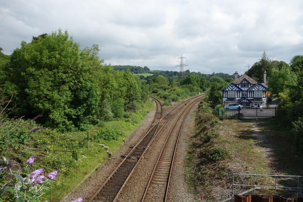
Before the railway was built, the Barnstaple turnpike made a junction with the Tiverton road in front of the Cowley Bridge Inn (now closed) at right.
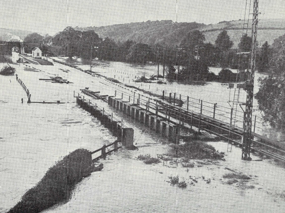
The scout remembers as a boy, returning from Plymouth half asleep in a Mark I compartment, the train, drawn by an “800,” proceeding very slowly in the dark over the bridges when the river was in flood.
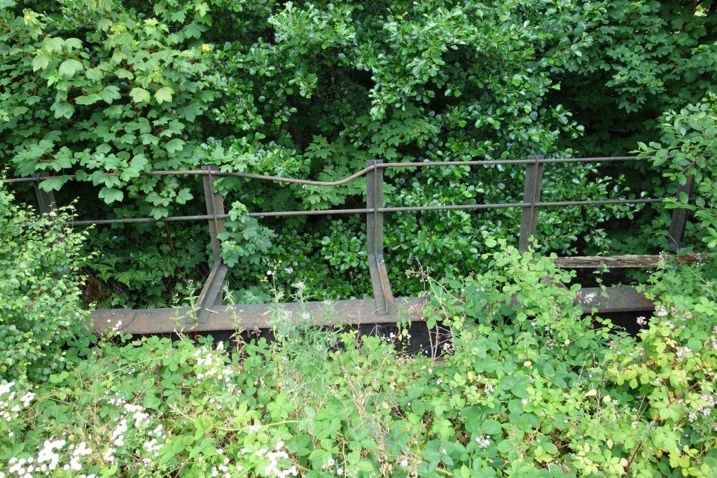
Flooding at Cowley Bridge Junction.
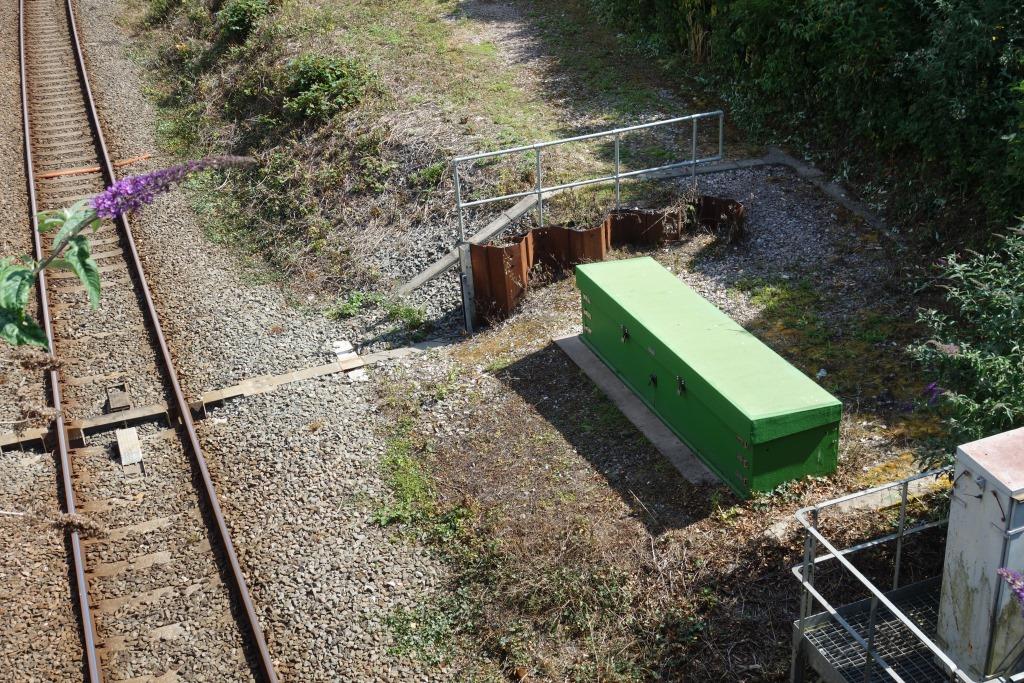
Since the above piece was written, the Environment Agency has raised the city’s flood defences and these now extend upstream to Cowley Bridge.
A channel has also been made beneath the G.W. main line just east of the junction.
The scout followed the busy A377 and struck off towards Langford.
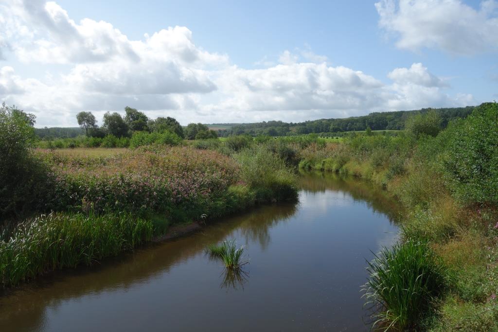
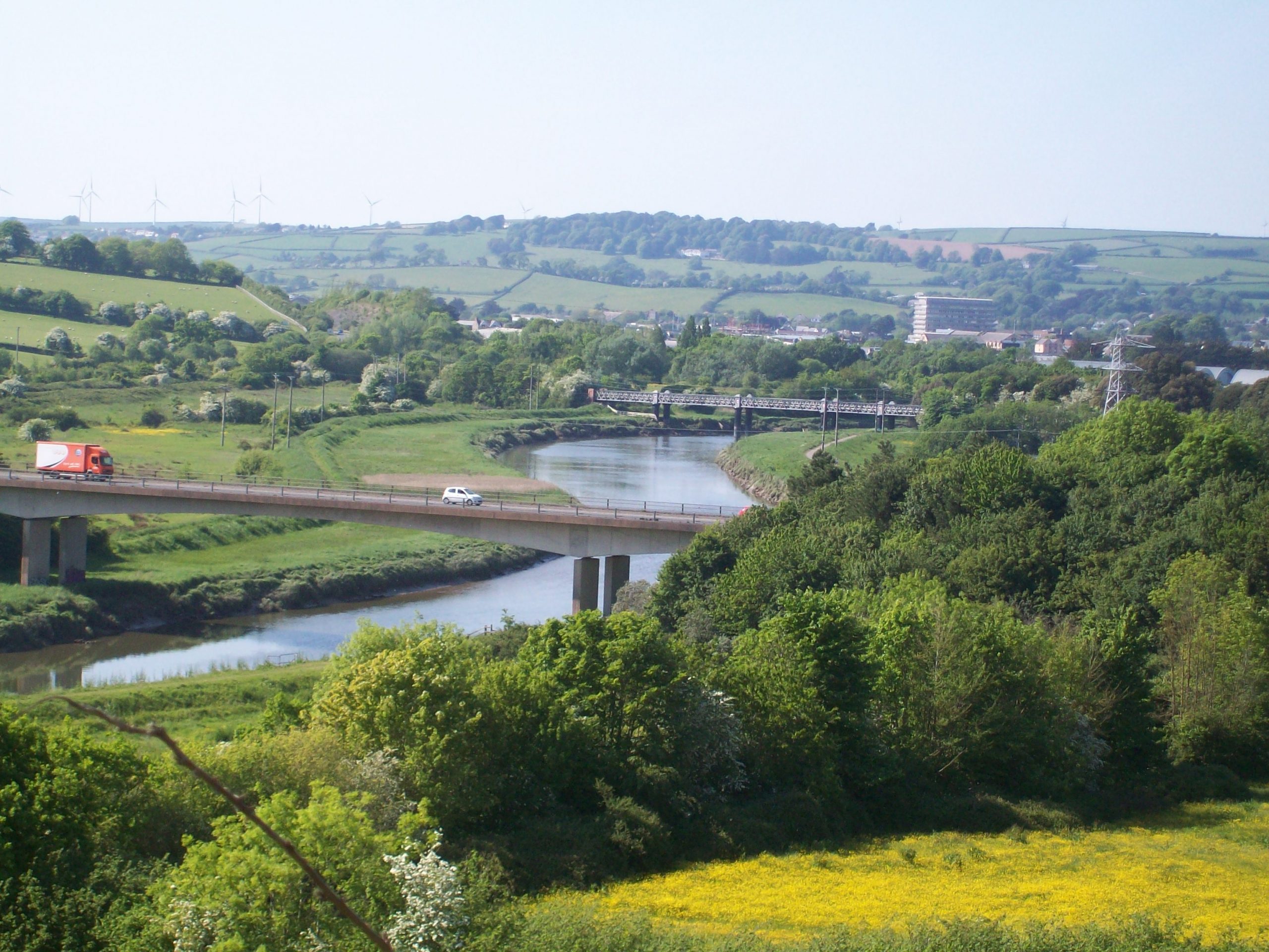
The River Creedy, whose bridge adjoins the railway’s, lies at right.
The line was singled in 1984. +


The 2014 “West of England Route Resilience Study” had this to say about reopening the former Southern route to Plymouth:
Flood resilience represents a challenge with this option. The trackbed in the River Creedy valley will need to be raised, and a number of overbridges will require renewal.These works would require closure of the Barnstaple line for an extended period.
- Up to 13km of track may need to be raised by up to three metres on a combination of higher and wider embankments (5.2km) and replacement of embankments by low viaducts on the same horizontal alignment (7.8km).
- New viaducts would improve floodplain connectivity and compensate for the impact of embankment raising and widening.
- Raising the track level through areas of flood risk may cost up to £290 million in a worst case scenario, in addition to the £875m identified for core works. This estimate is considered high, takes into account the greatest volume of additional works that might be required, and assumes relatively high unit rates.
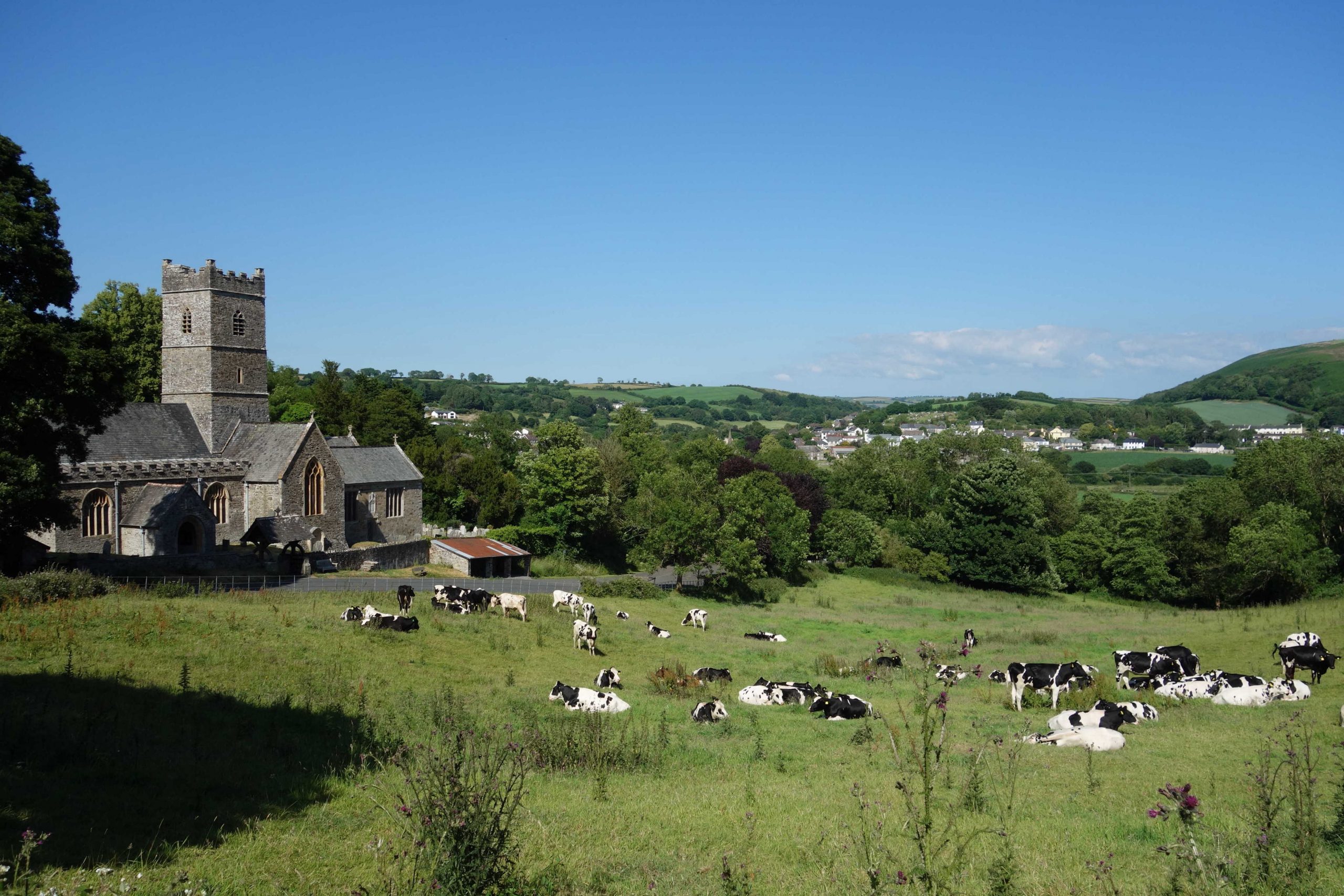
Newton St. Cyres
The hamlet is actually Sweetham.


The scout entered Crediton by way of the Tiverton Road and continued through the town, avoiding the station.
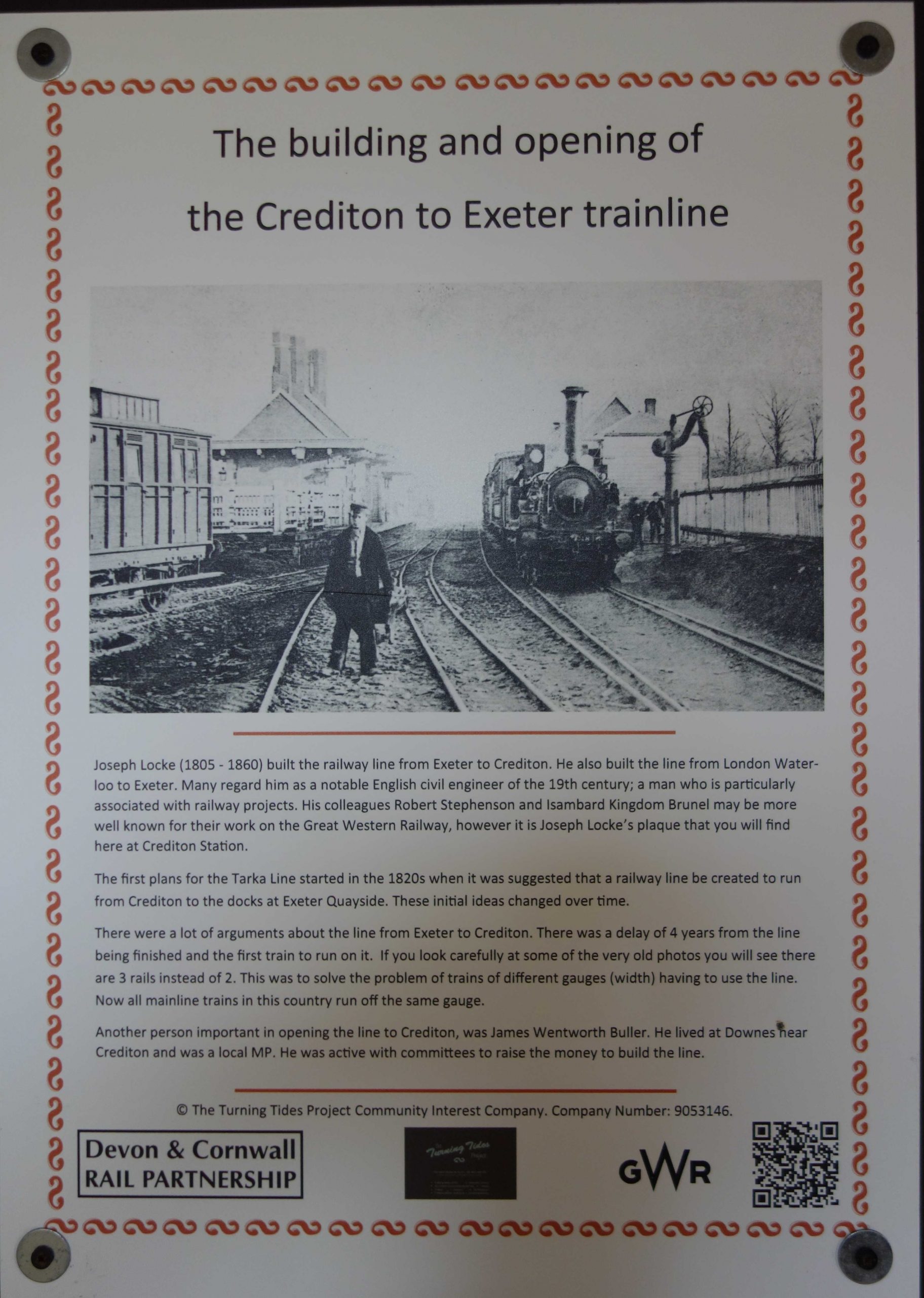
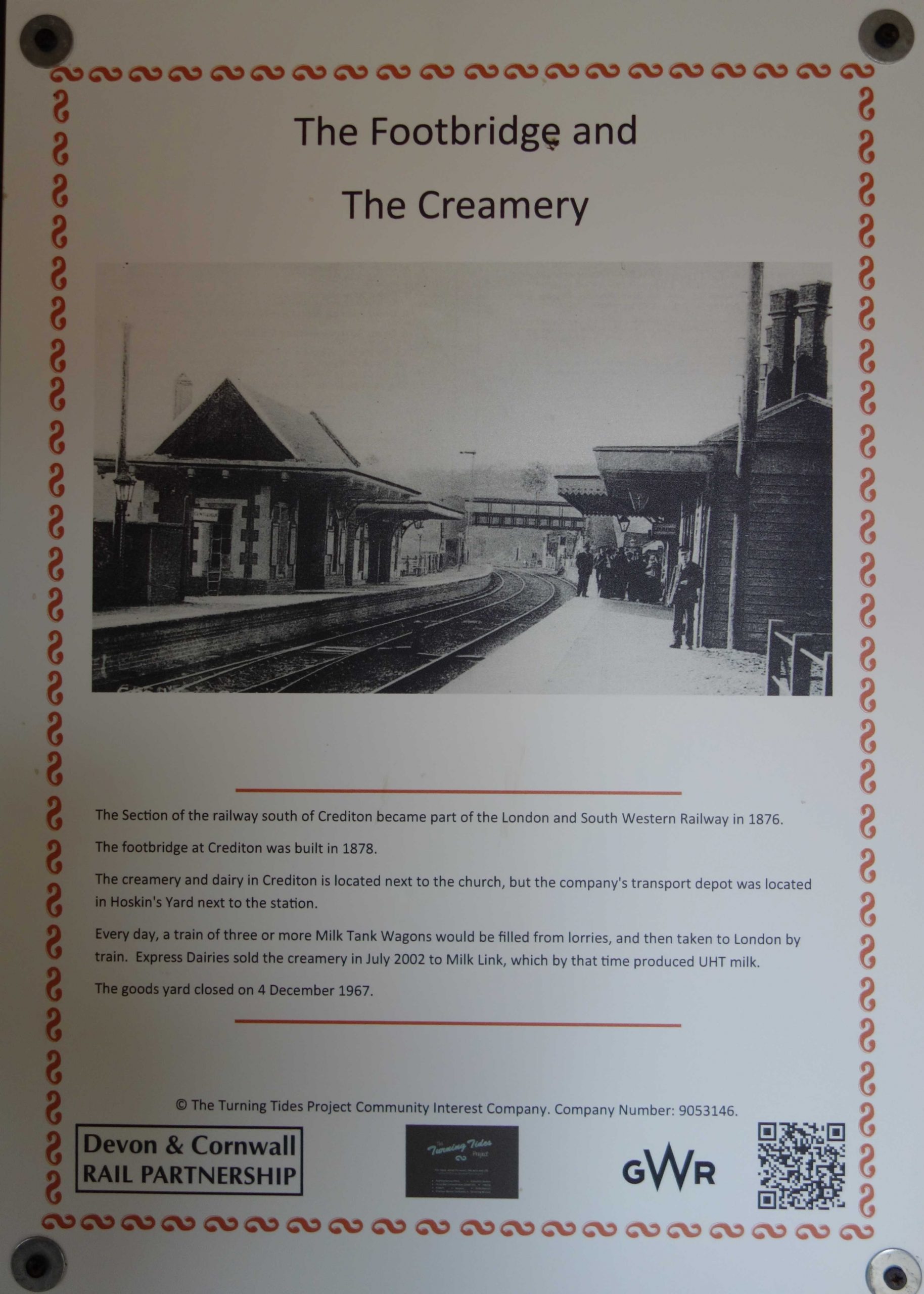
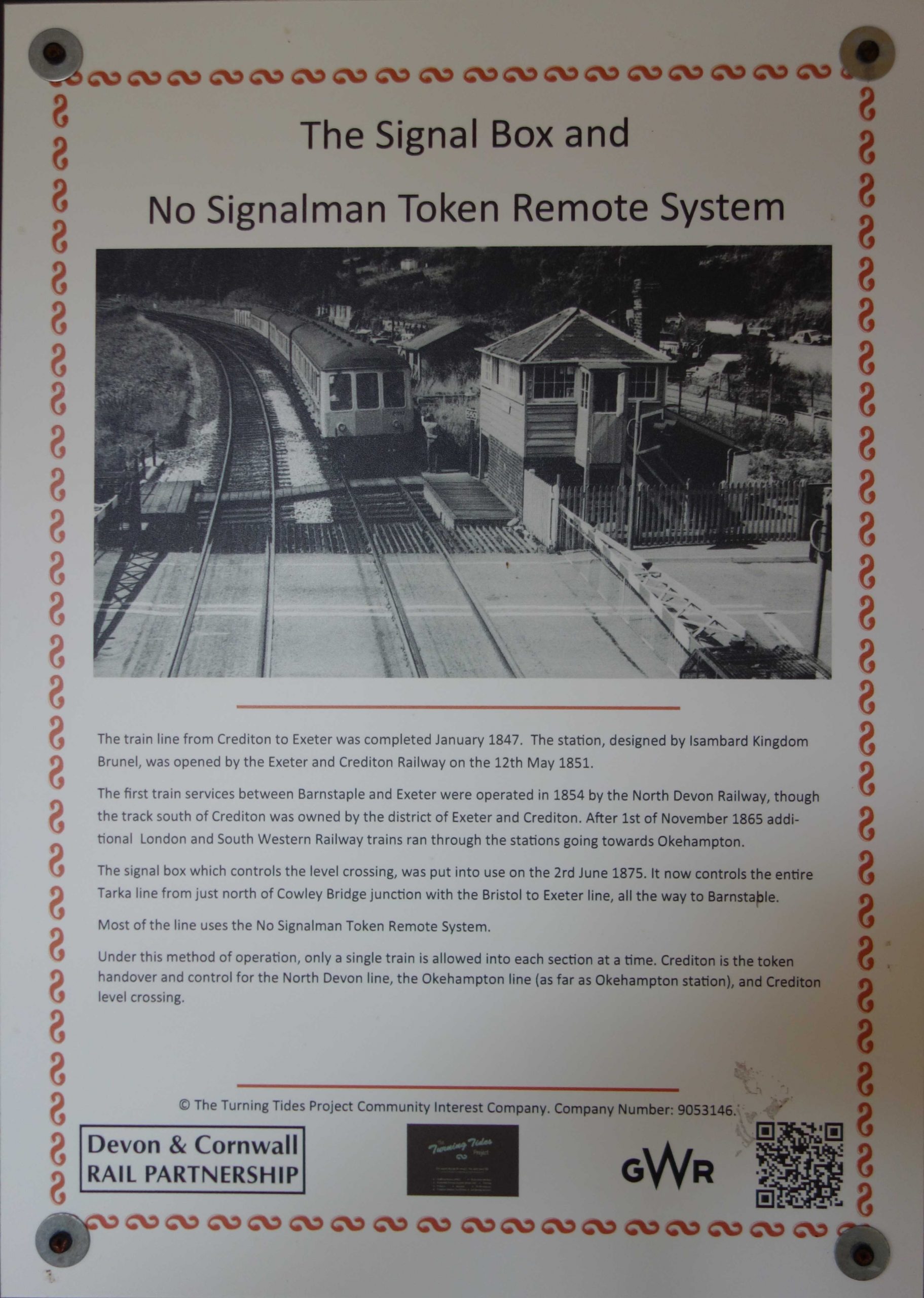
Crediton


At the top of town, the scout turned into Landscore and headed for Yeoford.
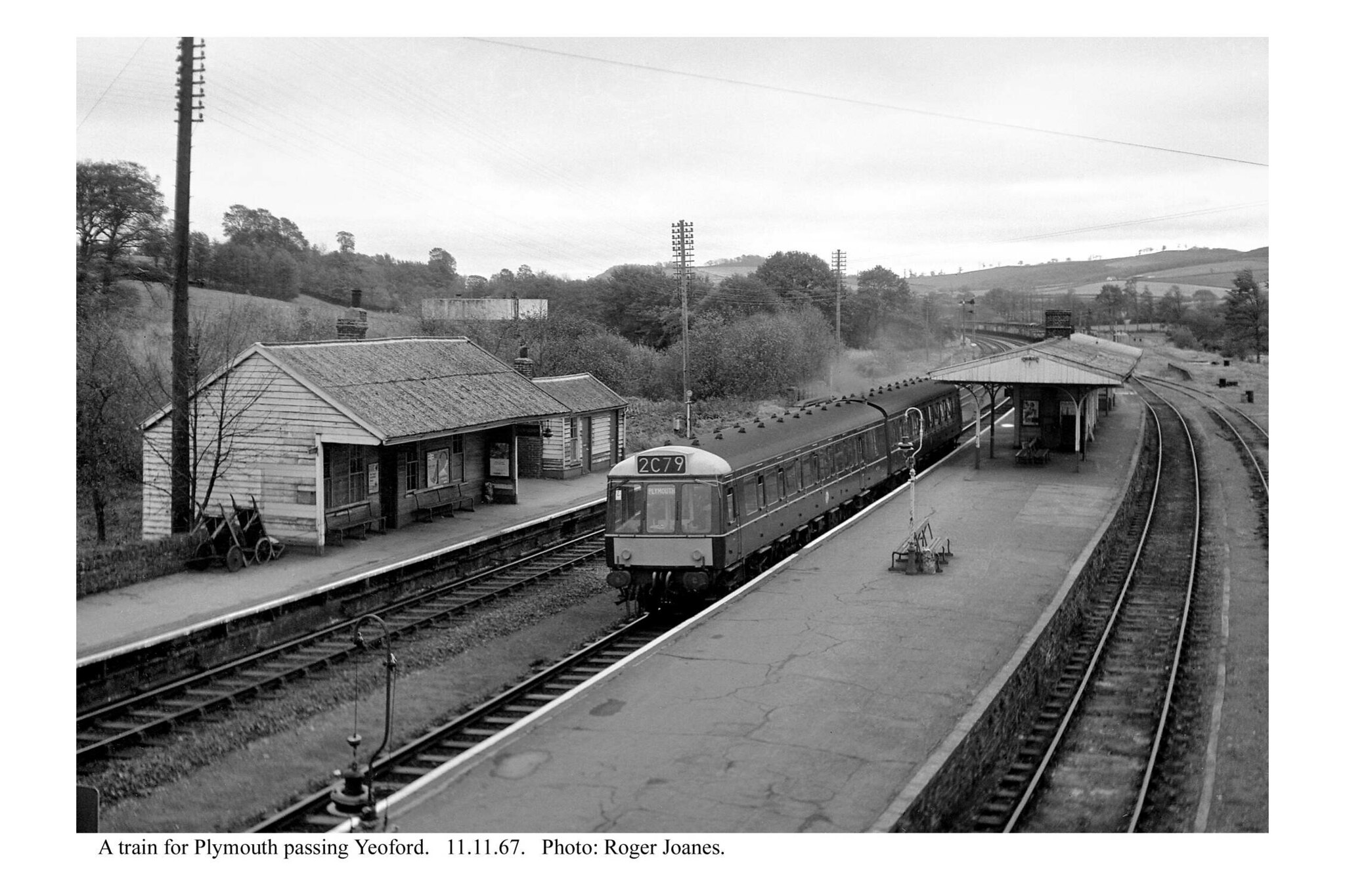
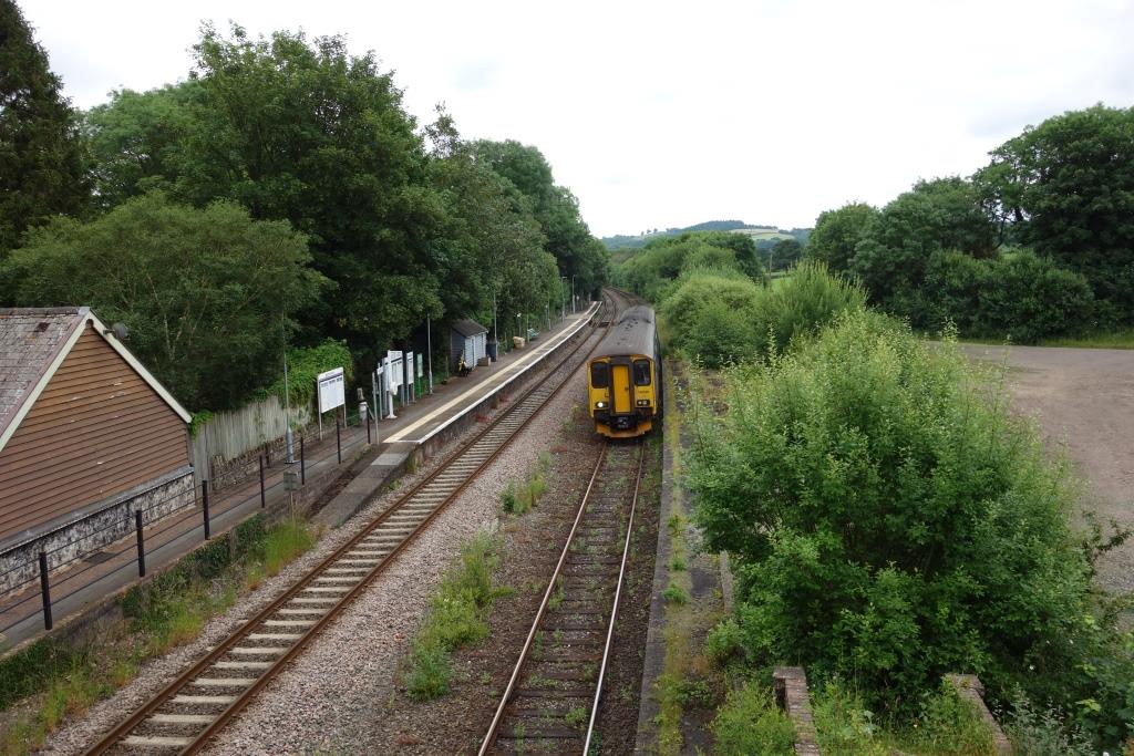
Yeoford
The village petitioned for the platform to be reinstated so that passengers could join Okehampton trains, but this was ignored by the railway.
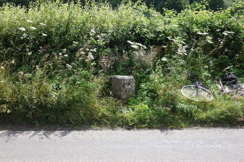
A lone passenger waits on the North Devon platform. She had used the Help Point and been told by “Eric” in New Delhi that her train was on its way.
The former Goods Yard and marshalling sidings were disposed of at The Bristol Auction in 1996, fetching £23,500.


Returning from Okehampton in 1972, the scout and his Dad broke the journey here, it being a sunny afternoon. From this bridge the scout had his first sighting of an otter in the wild. It was to be another forty years before he had another, on the River Teign at Christow. It is gladdening that the sightings have since been more common.
On reaching Colebrooke, the scout turned right and rode down the hill to Waterleat Bridge, which carries the two single lines. The road loops around and passes beneath the North Devon single line at Penstone, where the bridge was renewed in 2021 at a cost of £2.5-million.


A house was being rethatched near the bridge. The thatcher told the scout that he loved his work. He had started with his uncle, an old cuss, so he had proved how keen he was by finishing his apprenticeship. His son, having done a bit in the building trade, was now working with his father, who told the scout that the wheat straw he often uses is grown specially only two miles away.
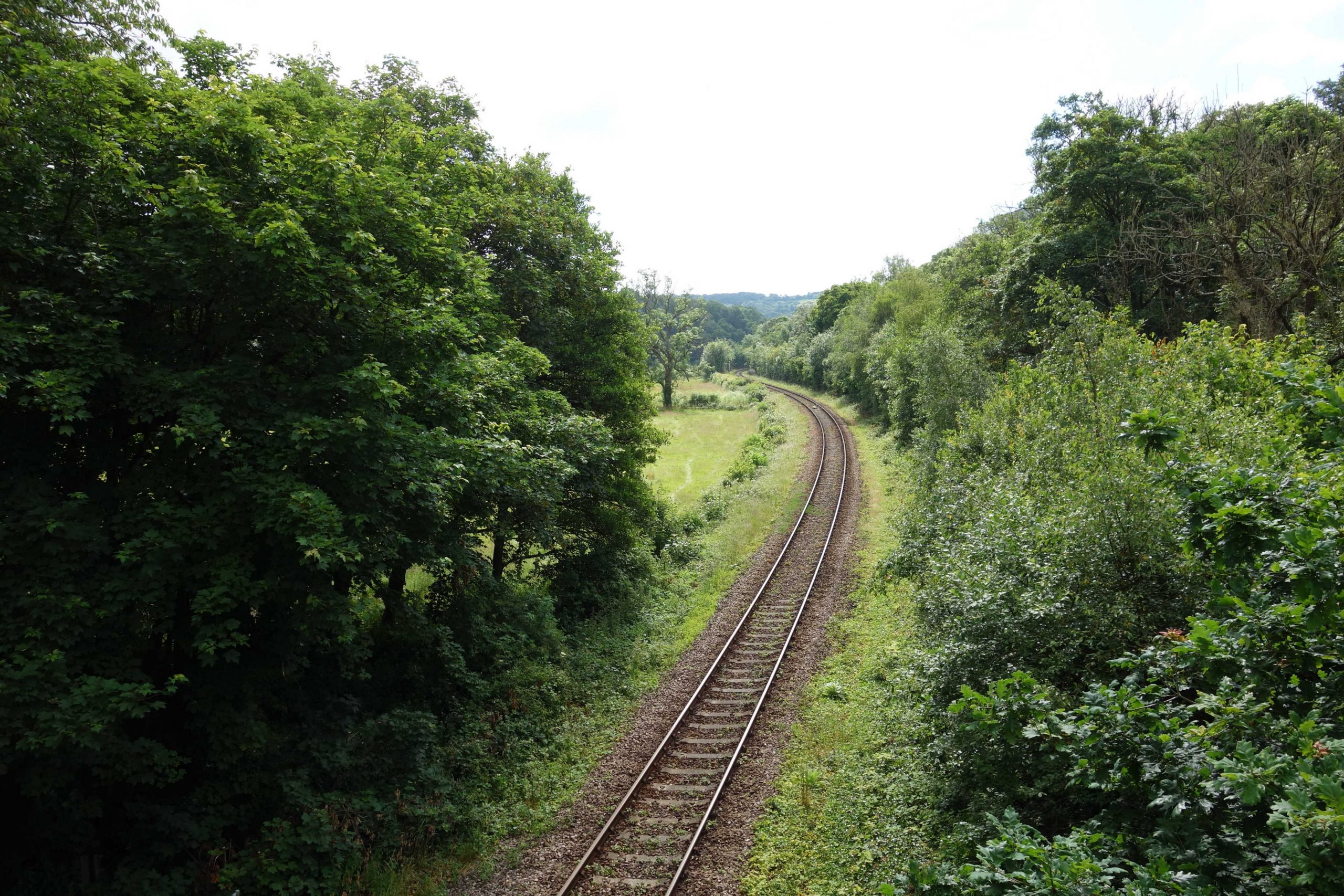
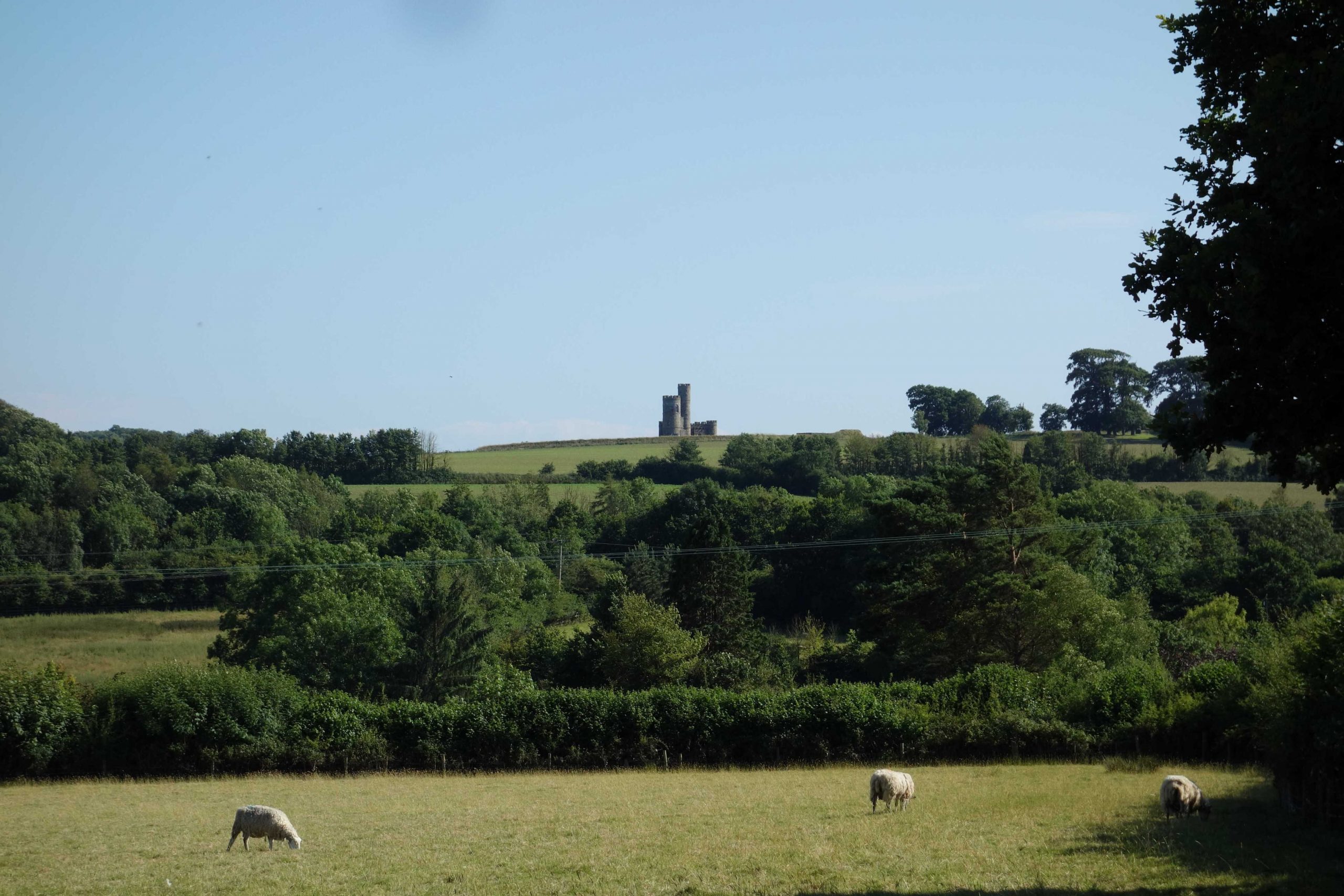
The North Devon rises gently from the junction, the climb stiffening on Copplestone Bank to reach the summit in the deep cutting before the station is reached. It must not be much more than 300 feet above sea level. Thereafter the line falls steadily all the way to Barnstaple.
Copplestone


The line was double as far as Copplestone until 1971. The L. & S.W.R. intended to double the line all the way and installed the bridges necessary, but a traffic sharing agreement was made with the Great Western. The line remained single, with passing loops at stations, from Copplestone to Umberleigh.
Morchard Road


When the scout placed his lunch on the counter of the filling station shop on the main road, the friendly lady asked if he’d had any fuel.
“No, I’m on my bike,” he said and pointing to the grub, added: “That’s my fuel.”
“A pushbike?” exclaimed the lady. “Rather you than me.”
The scout did once meet another cyclist at the solitary parking stand, a young lady who had ventured down from the village.
Lapford
The nearest spans were installed for the doubling of the line, which never materialized. The bridge was taken away in 1961 to replace one at Exton on the Exmouth Branch.


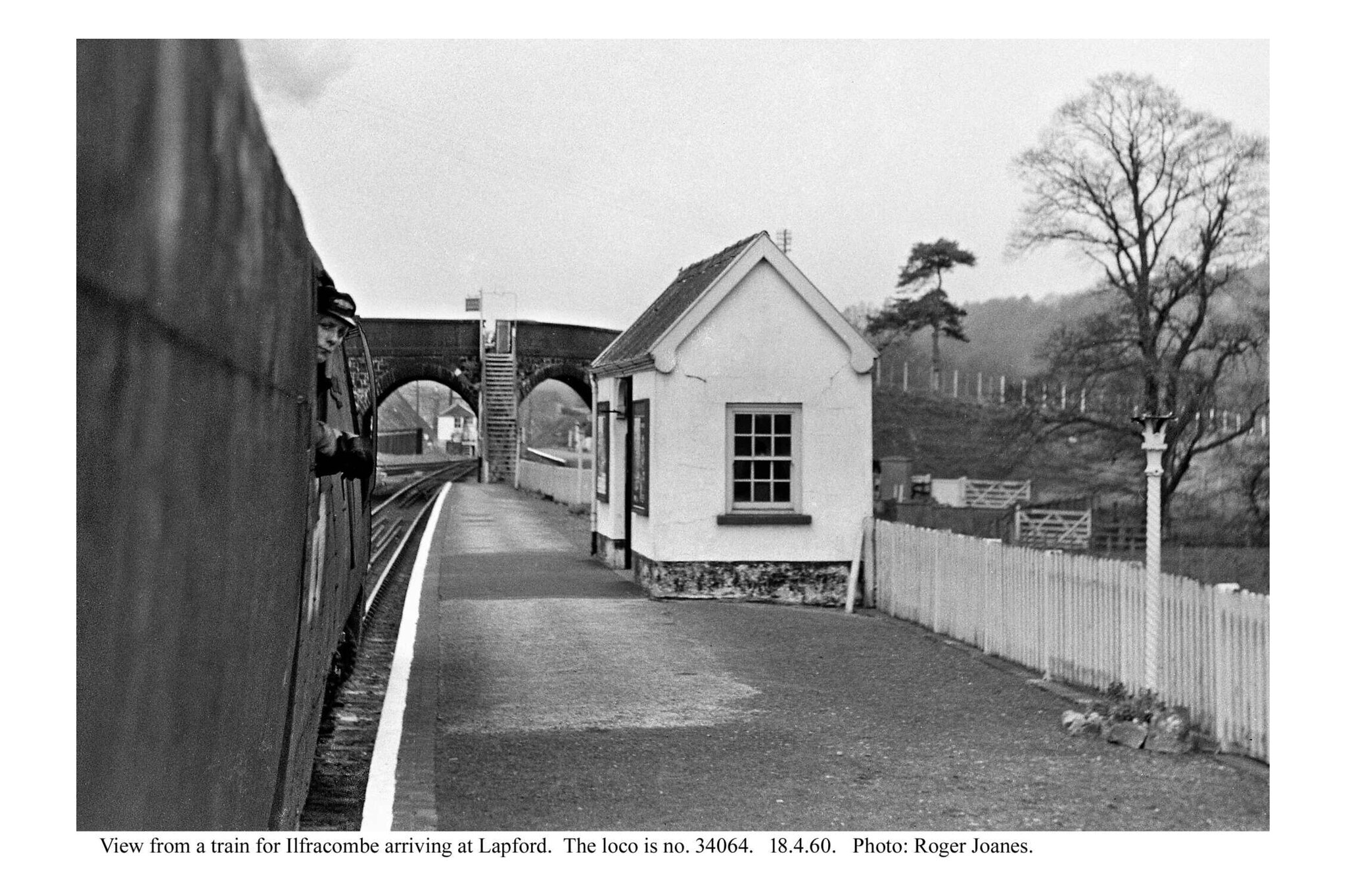
Steps lead down from the bridge between the arches.
Copyright: Roger Joanes. Shared under Creative Commons. +
The dairy was acquired by Express in 1971 and closed in 1976. The sidings were used to receive fertilizer and forward timber in latter years.
Chenson
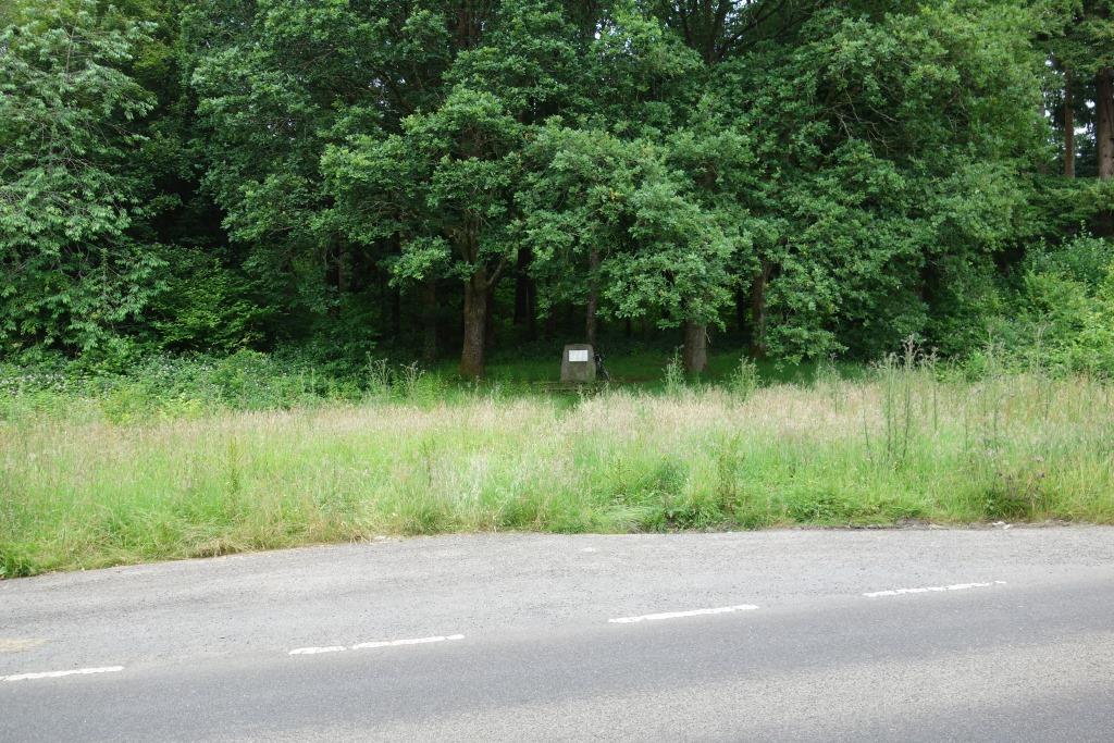
The oaks on either side were planted by the late Prince Philip, Duke of Edinburgh (left) and the late Queen Elizabeth.
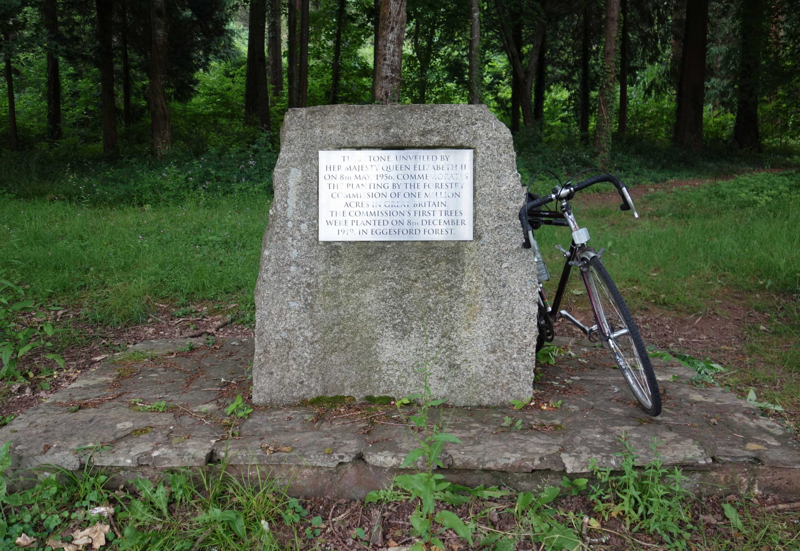
The Commission was formed to restore and restock the nation’s forests after tree cover had fallen to an all-time low at the end of the First World War. +
Eggesford
It was fortunate that the scout had bought his lunch in Lapford because the farm shop at the station he found had closed. The cafe, previously “Eggesford Crossing” and “Old Nog’s”, was now “The Tarka Line Grill.”


 pulls in on time.")

The signal box was closed in 1987 and “No-Signalman Key Token,” later “No-Signalman Token Remote,” was instituted between Crediton and Barnstaple. Drivers of Down trains surrender the Crediton-Eggesford token in the instrument hut at the end of the platform and withdraw, with the signalman’s permission, the token for the Eggesford-Barnstaple section. This usually involves waiting for an Up train to arrive, when its Driver will surrender the token in the instrument at the top end of the Up platform, where the crossing controls are also found. The token imbalance that occurs is corrected every few days by a Network Rail man, who transfers tokens from one instrument to the other using a special procedure.
Eggesford to Sampford Peverell.
Colleton Mills
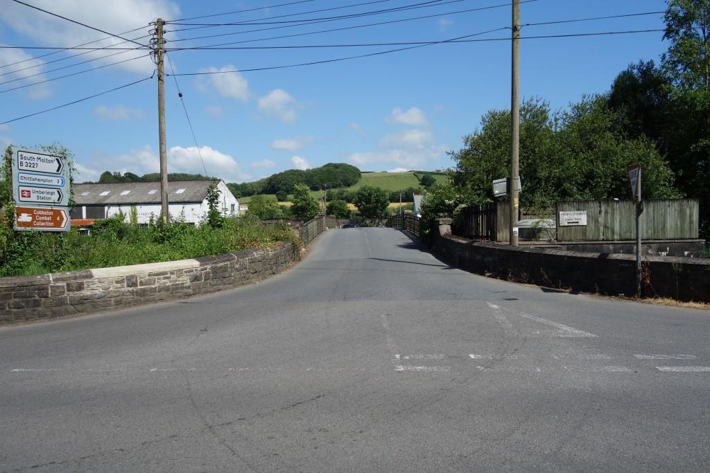
The road behind leads to Chumleigh and the one ahead, crossing the railway and river, leads to Burrington.
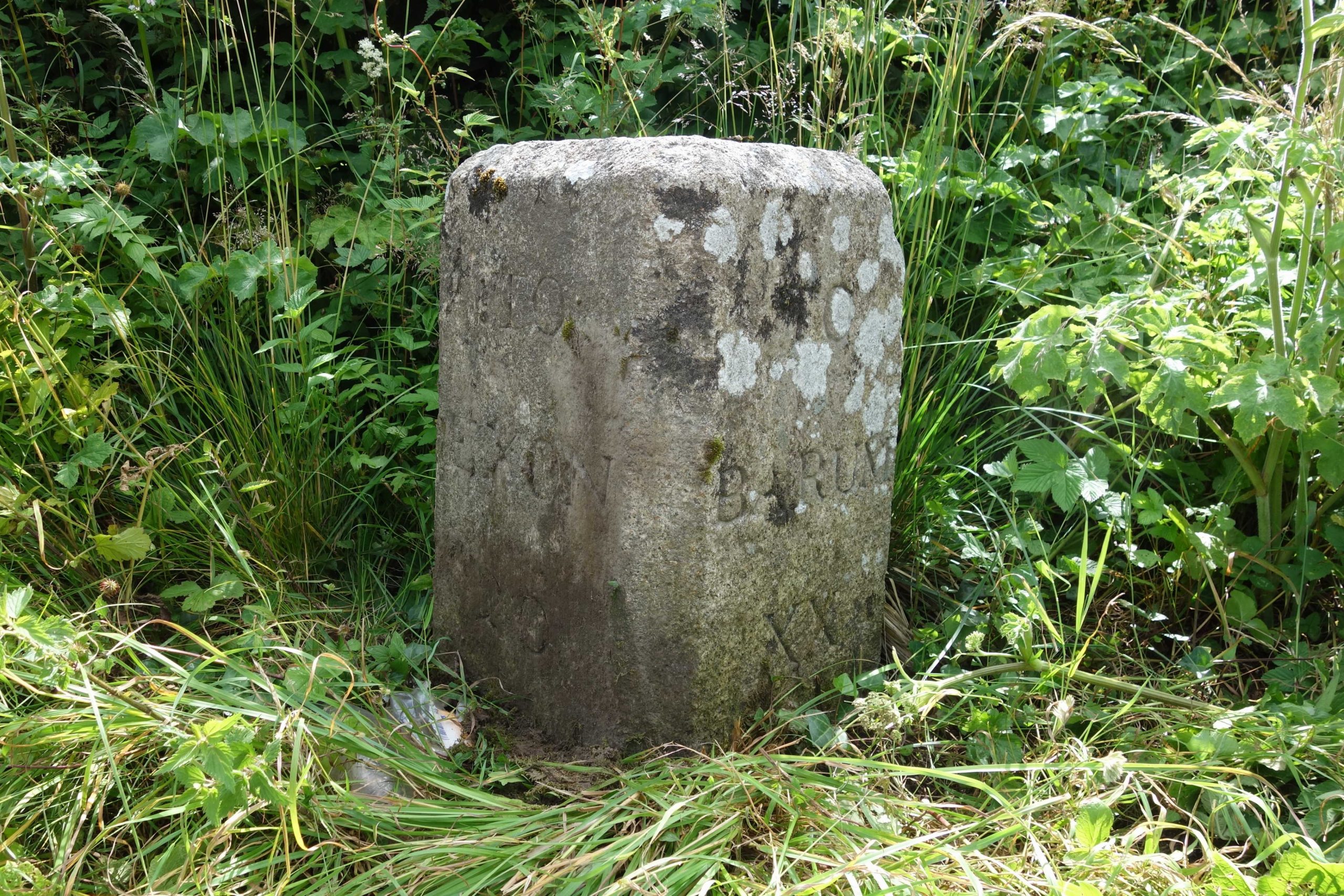
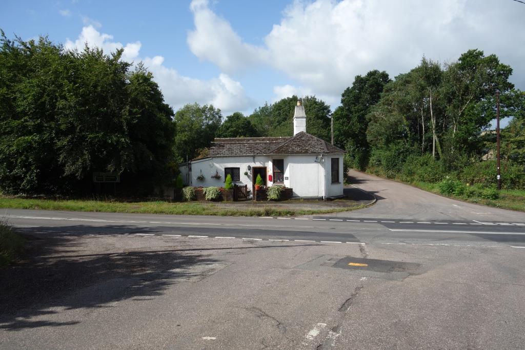
King’s Nympton (originally South Molton Road)
David St. John Thomas, in his “North Devon Railway Report,” published in 1963, advocated that the station revert to South Molton Road upon the inevitable closure of the Devon & Somerset, the line from Taunton to Barnstaple (Victoria Road).


Seen from the turnpike not far beyond the station is a user-worked crossing near Junction Pool.


Portsmouth Arms


The scout’s presence on the bridge, robbing some poor motorists of seconds, caused the usual pained expressions, rude gesticulation and rapid acceleration.
They may be used to the views, but more likely is that they are insulated and caught up in their haste, and beyond being able to appreciate the real world around them.
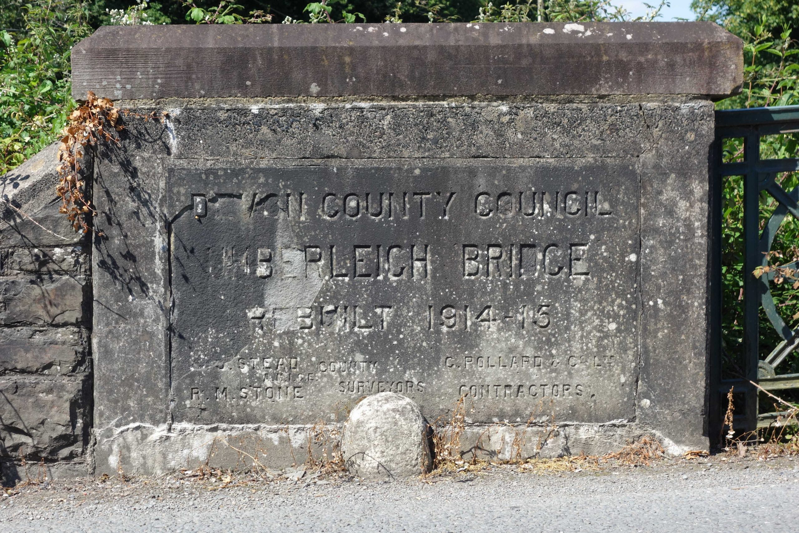
Umberleigh Gates


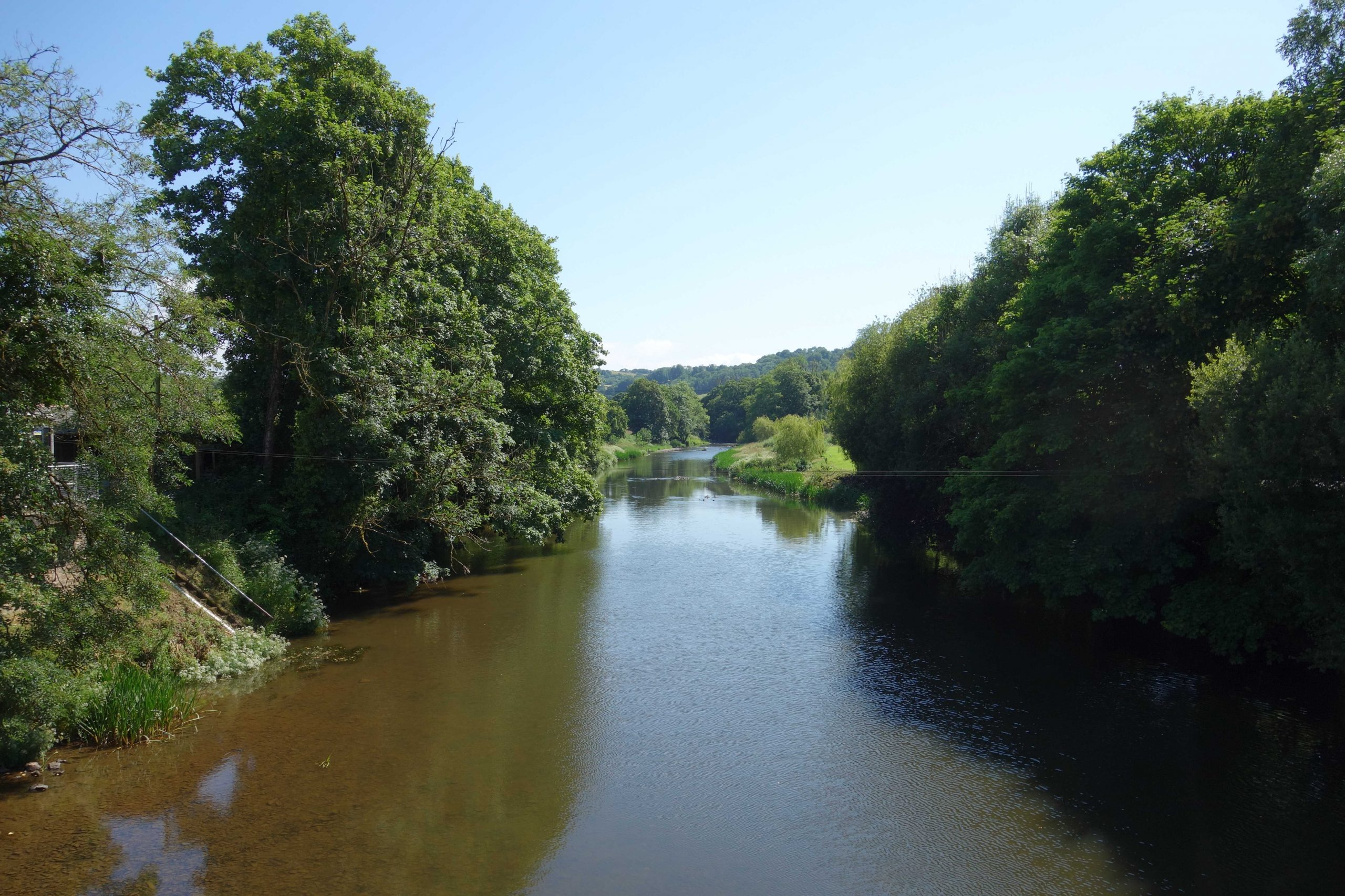
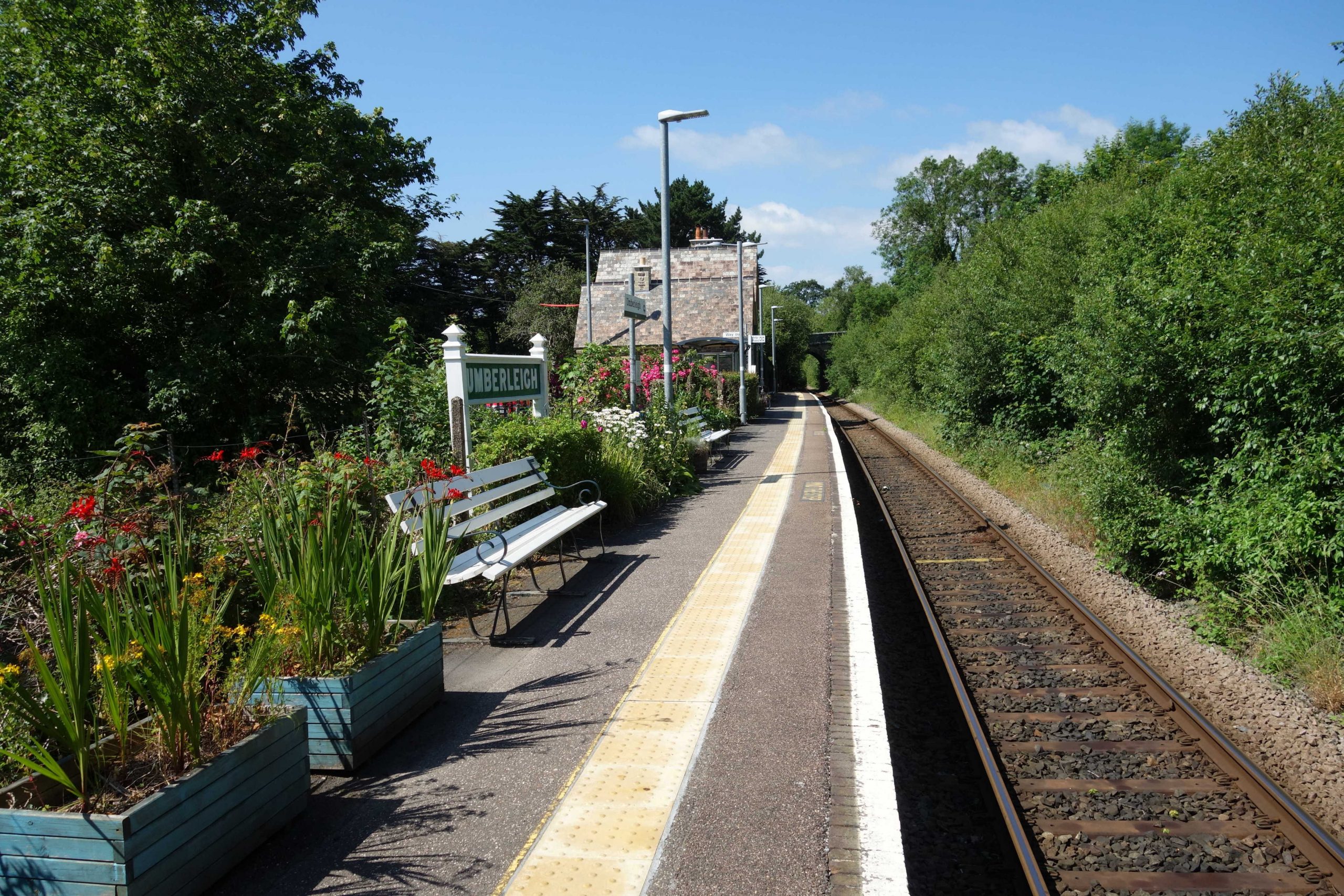
Umberleigh


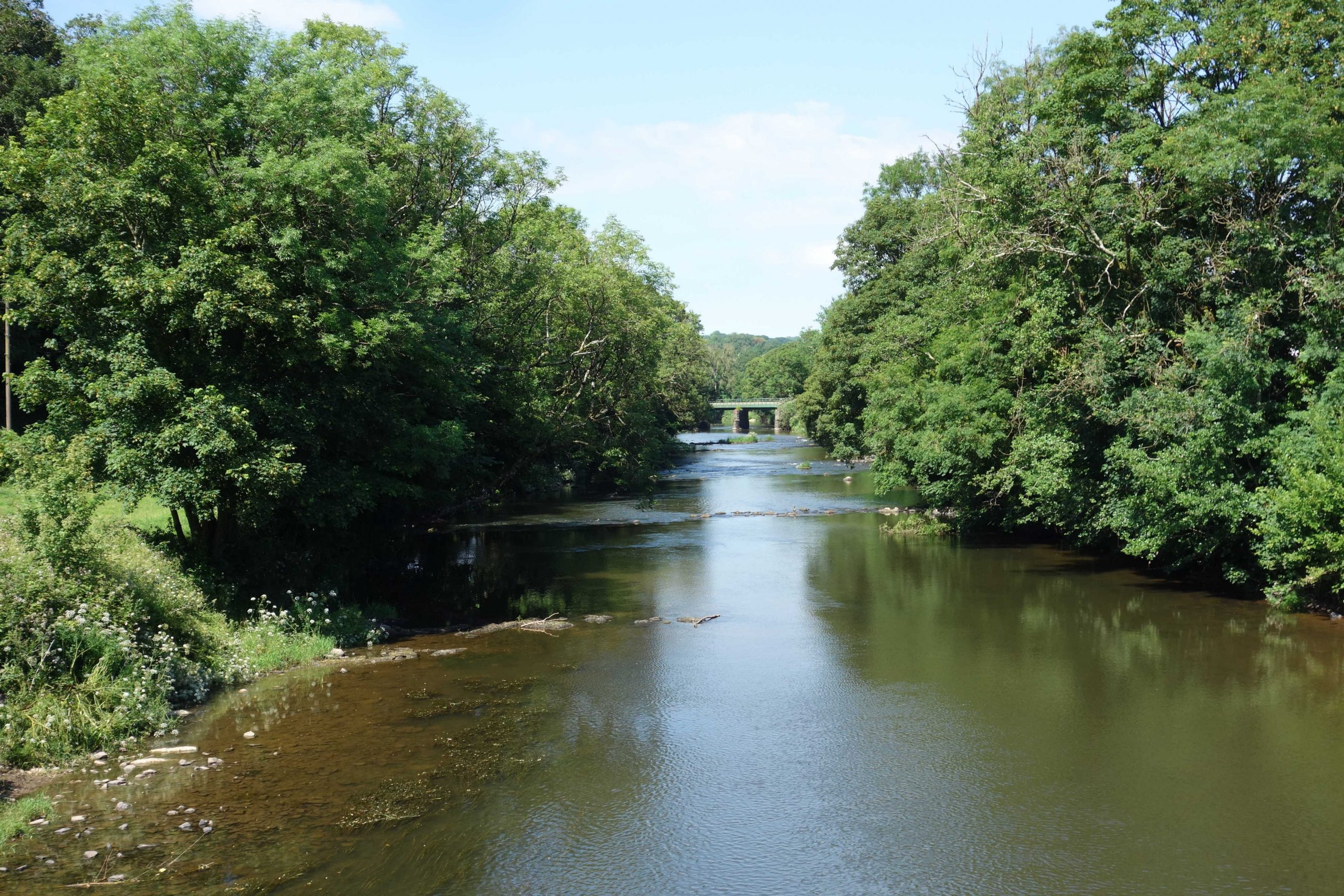
Chapelton


At New Bridge, the scout continued straight on and climbed the hill to Tawstock, wanting to find the pile that he had seen many times from the train and from Bishop’s Tawton.


A wedding was being conducted on the terrace. The scout wanted to shout: “RUN! Run, while you still can.” As he climbed the hill, he heard clapping. It was too late for the poor fellow.
The lane enters Barnstaple at the bottom of Sticklepath Hill, very close to the station.
Barnstaple Junction


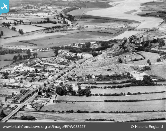
Barnstaple Junction Station can be seen nestling beneath a single cutting face. The North Devon line continues as a straight towards Fremington.
The station, Sticklepath Terrace and Shapland & Petter works are the only developments on the floodplain opposite the town.
At top right, the curved bridge carries the Ilfracombe Branch across the river, through Town Station and along the north shore of the estuary.
Newport Road and Landkey Road lead diagonally to bottom left, where the bridge over the Barnstaple Loop and the line continuing towards the triangular junction are visible.
Barnstaple Junction to Okehampton.
The 1733 from Barnstaple took the scout back to St. David’s at an average speed of 31 m.p.h. When he returned to the utilicon, he had clocked 52 miles.
The North Devon Railway Report (subtitled: The findings of the North Devon Railway Enquiry), published by David & Charles in 1963, recommended that:
“The train service between Exeter and Barnstaple should be reduced, but speeds increased and connections improved at Exeter.”
The “Beeching Report” had recommended the closure of all but Crediton, Lapford and Eggesford stations. David St. John Thomas argued that King’s Nympton should be retained and that it should revert to South Molton Road.
Like many of the reports published in the 1960s, it seemed as if the writers were only thinking of public transport, certainly in rural areas, providing for a transitional period, and that in the end everyone would own a car and all goods would be on the roads.