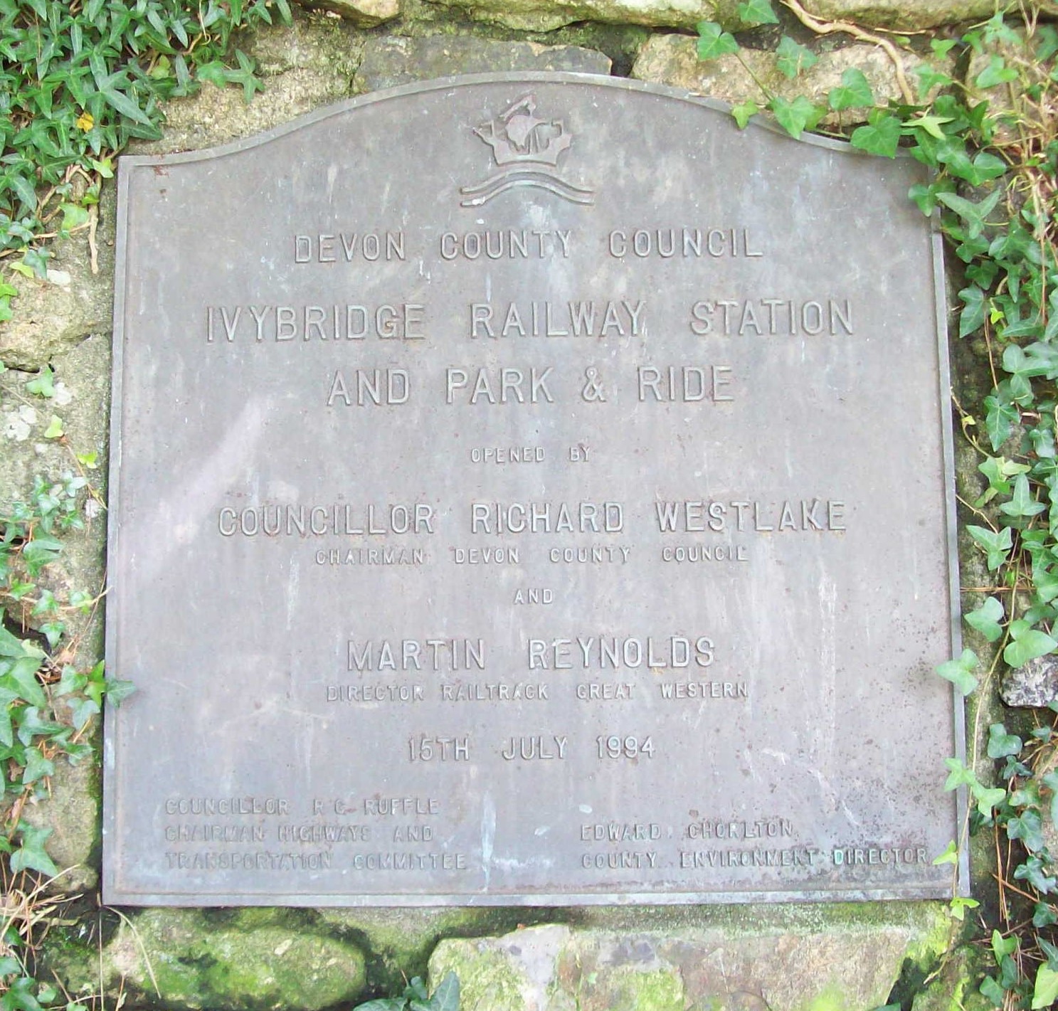
In August, 2017, The scout detrained at the new Ivybridge Station, opened in 1994. The original station, closed in 1959, was 66 chains further west.
The new station was supposed to be the beginning of a series which might have included Cullompton, Kingskerswell, Okehampton, Plympton, Brent and Tavistock. Ivybridge was meant to be part of a rail transport package for the Plymouth travel-to-work area; a park-and-ride station was also mooted for Trerulefoot.
According to Wikipedia, the station cost £380,000 to build. The scribe’s memory is that it was around £500,000, but that the accursed Railtrack had inflated it to £1-million. But Railtrack only came into existence in April, 1994, by which time the station would have been nearly finished. It may have been that Railtrack would have made sure it cost £1-million if it had been in charge from the start. The Bank of England’s inflation calculator makes £380,000 in 1994, £764,000 today. But Marsh Barton, with no car park, actually cost £16-million. +
The scout did not go to the earlier station site on this occasion, but had climbed the hill from the town in April, 2016.
The scout had spent some time at the goods yard in 1993, preparing the old feed store for removal.
Cantrell
The exchange siding platform at the foot of the incline from the Redlake Tramway.
Bittaford
Wrangaton
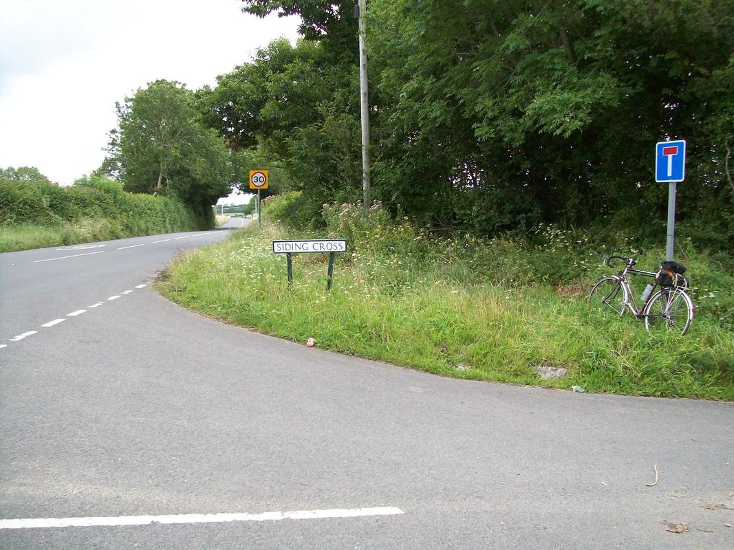
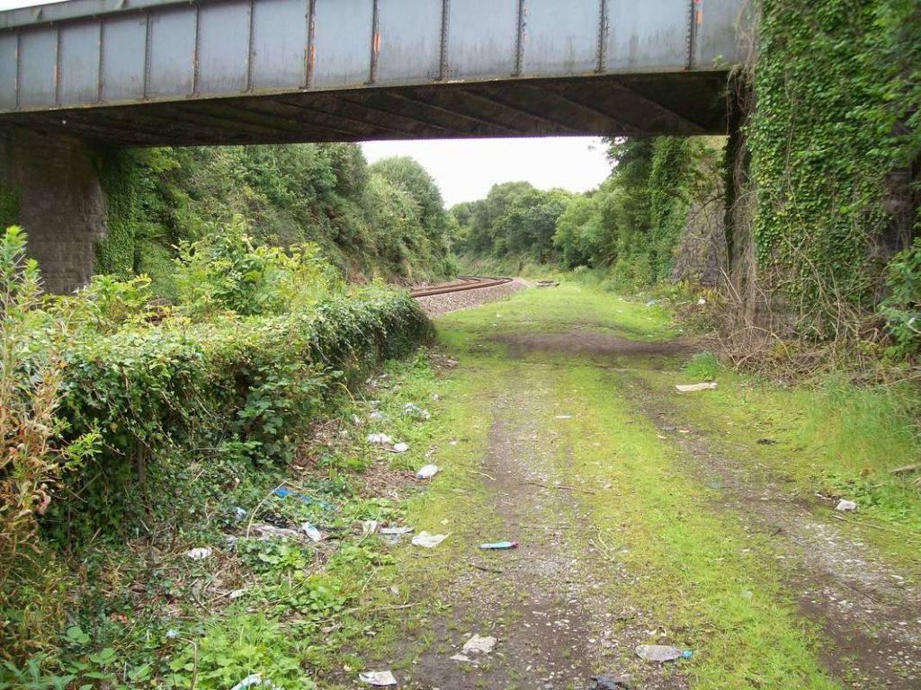
A little further along the A38 is Siding Cross. The lane at right once led to the small goods yard, “Wrangaton Siding,” some distance west of the passenger station. The lane was severed by the A38 dual-carriageway and so the bridge over the railway was demolished. +
Aish
If a passenger knows what to look for when gazing out of a train window, the original work of the engineer can still be seen beyond the actual formation of the railway. Fields cut in two, rivers straightened, roads diverted and more can be spotted. One obvious example is at Aish, where a road descends the hill, meets the railway and follows it a short distance before joining a diverted Aish Lane to pass beneath Aish Bridge. That road once continued and its remains, abandoned around 1848, can still be seen. The railway passes across the top half of the photo and this was the road’s former junction with Aish Lane.
Brent
The buffer stop marks the end of the former Up Refuge Siding to the west of Brent. +
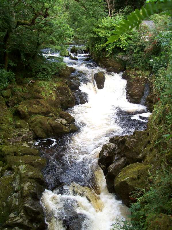
The River Avon cascades off the moor beneath Lydia Bridge, just a short walk from the former station. In better times, perhaps after getting off the Kingsbridge train on a summer’s evening, this might have been a pleasant interlude for the rail traveller. +
From alongside the Down island platform. The Kingsbridge Branch once curved right where the main line curves left.
Marley
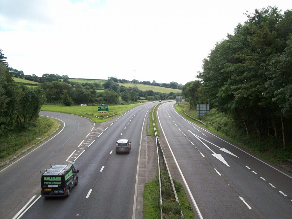
The A38 dual carriageway’s Marley Head. Both bores of Marley Tunnel pass beneath the road just beyond the slip road’s dividing arrows at right.
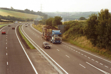
An “exceptional load” is seen heading towards Christow in 1993.
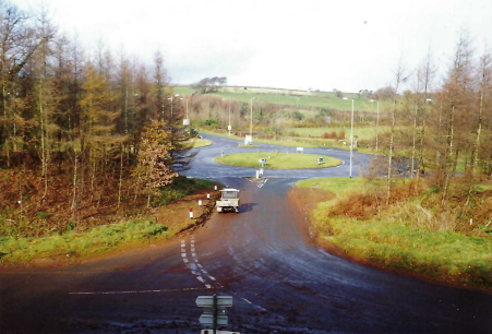
The massive land take of what was once a simple road junction. The westbound entry and exit slip roads of the dual carriageway leave and join the roundabout to the left, while the former A38 goes off at right. The road leaving the roundabout and going off left crosses the dual carriageway to another arrangement like this. The railway’s utilicon, BEE 2247 is seen parked on the minor road in November, 1992.
Marley House. The tunnels pass beneath the field in the foreground. The line might have been in a deep cutting here, but for the landowner’s objection.
Rattery
The site of the westernmost pumping station of the atmospheric at Rattery, equipped but never used. The line is above the wall behind the cottage. The reservoir is still there on this side of the road.
Hatchland
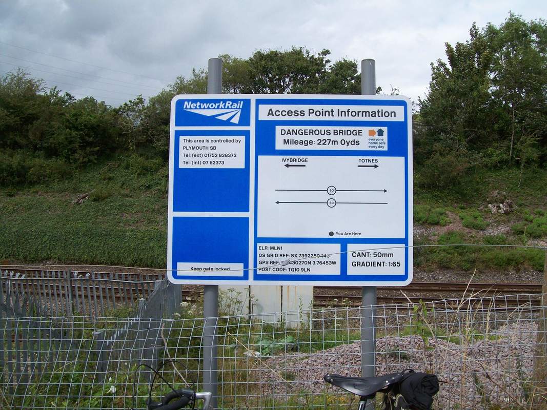
There may have been an error in communication when this board was ordered. It may be a dangerous bridge but its correct name is Hatchland. +
Totnes
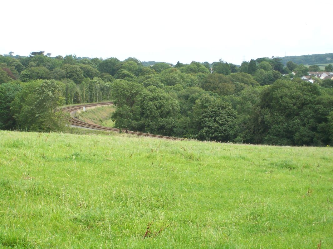
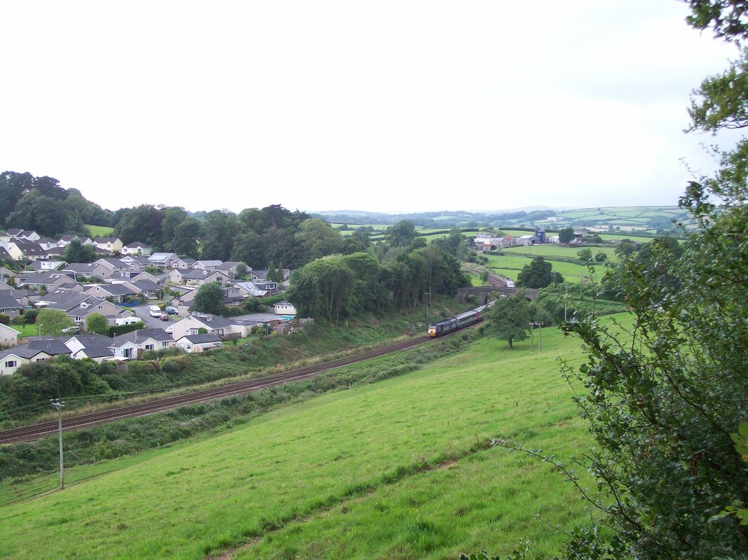
Taken from a rutted byway to the north of the line on the outskirts of Totnes, a Down train is seen descending the last of the bank from Rattery. A better day or a better camera may have picked up Western Beacon in the grey above the trees at left. Western Beacon is the southernmost point of Dartmoor and overlooks Ivybridge Station, where this ride started. +
The E. & T.V.R. scout, having on occasion sent a few photographs to the esteemed elders of the Cornwall Railway Society, in time rather got into the habit after his outings of submitting a short story, often under the general heading of “Route Learning” or “Route Refresher.”. Read more