
A chilly northerly decided the scout against a longer ride and instead he went from Marsh Barton to have a look at the recent work done at Halscombe by National Highways.
Halscombe Lane is a “no through road” off Westown Road, which continues from Station Road in Ide.
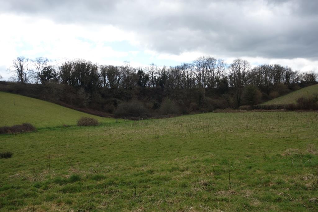
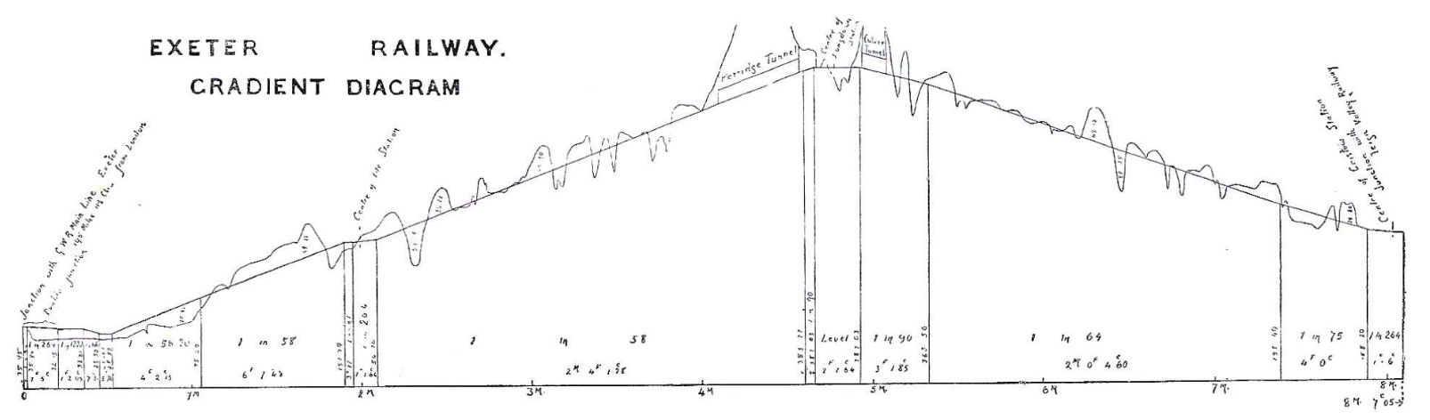
The embankment at Halscombe, the highest on the line and the whole route, can be seen just beyond the easing of the gradient through Ide. +


 and his family walking the track to Perridge in 1960, not long after the track was lifted.")


 to Heathfield traverses the recently renewed track between Ide and Longdown; the following year it would be lifted.")
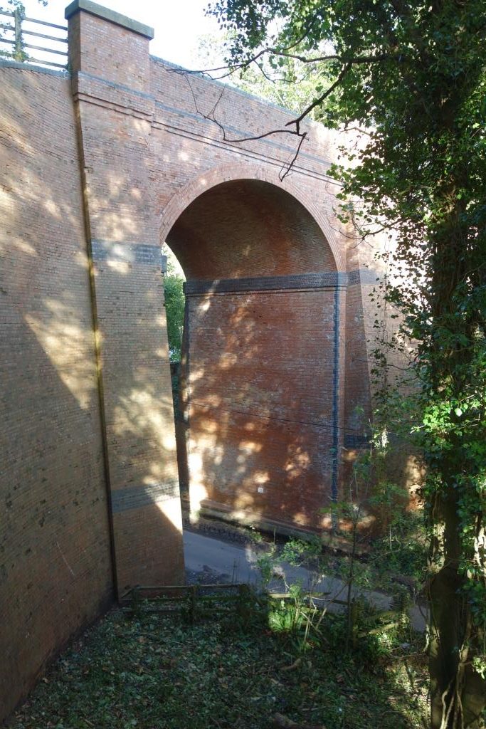
The lane could have been raised up to a much smaller bridge built on newly made ground, but this would have been unwise. The lane could have been taken up the hillside to a much smaller bridge built on firm ground. A bridge like that over Dalditch Lane, the “Million Brick Bridge,” on the Tipton St. John’s to Exmouth line, with massive wing walls and the arch just beneath track level, could have been built.
It will never be known quite why the engineer chose to build a bridge which carried much of the embankment.
Right: Dalditch Lane Bridge.