104 Exminster Hospital

It may be wondered what connection the scout had with the former Devon County Lunatic Asylum. He will reveal it, but not before describing the ride over the hills to get there.

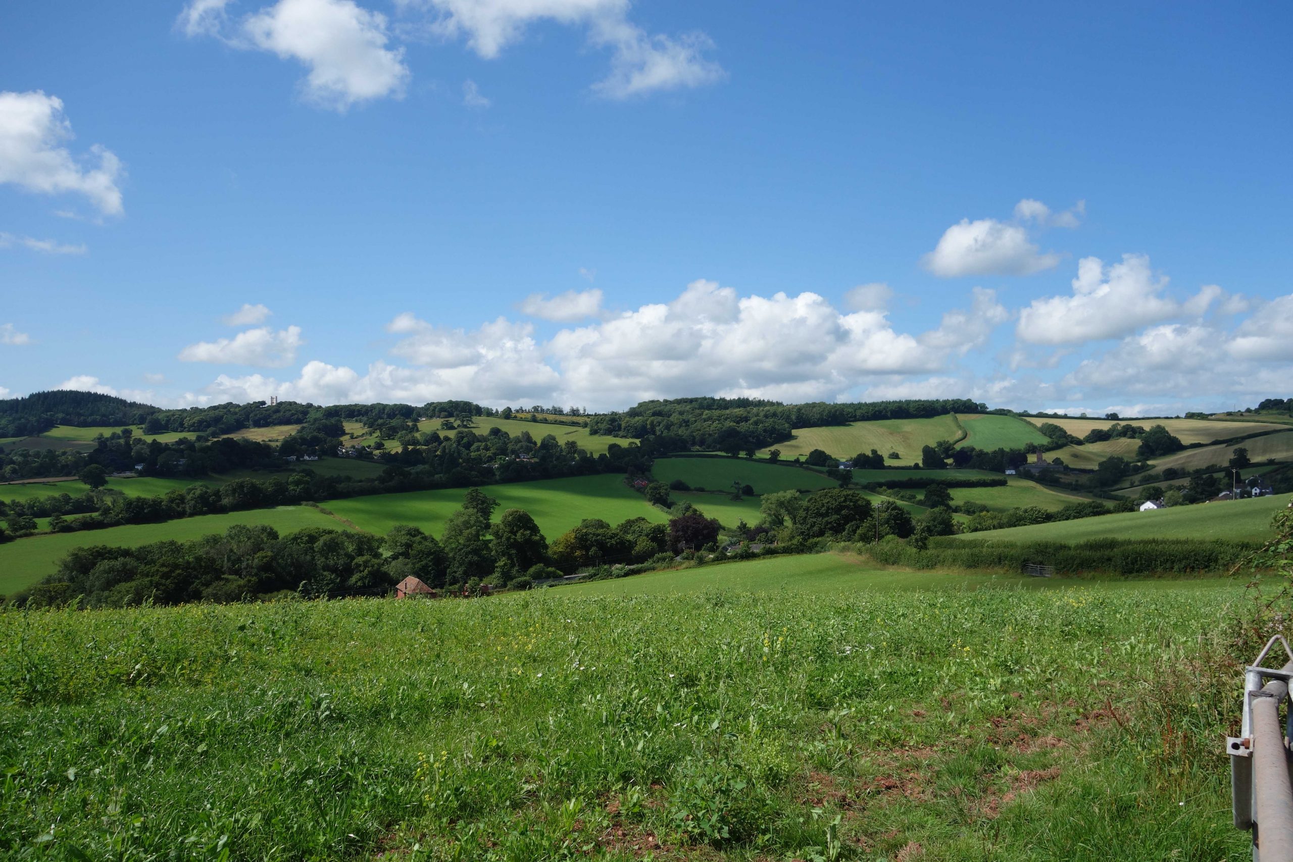
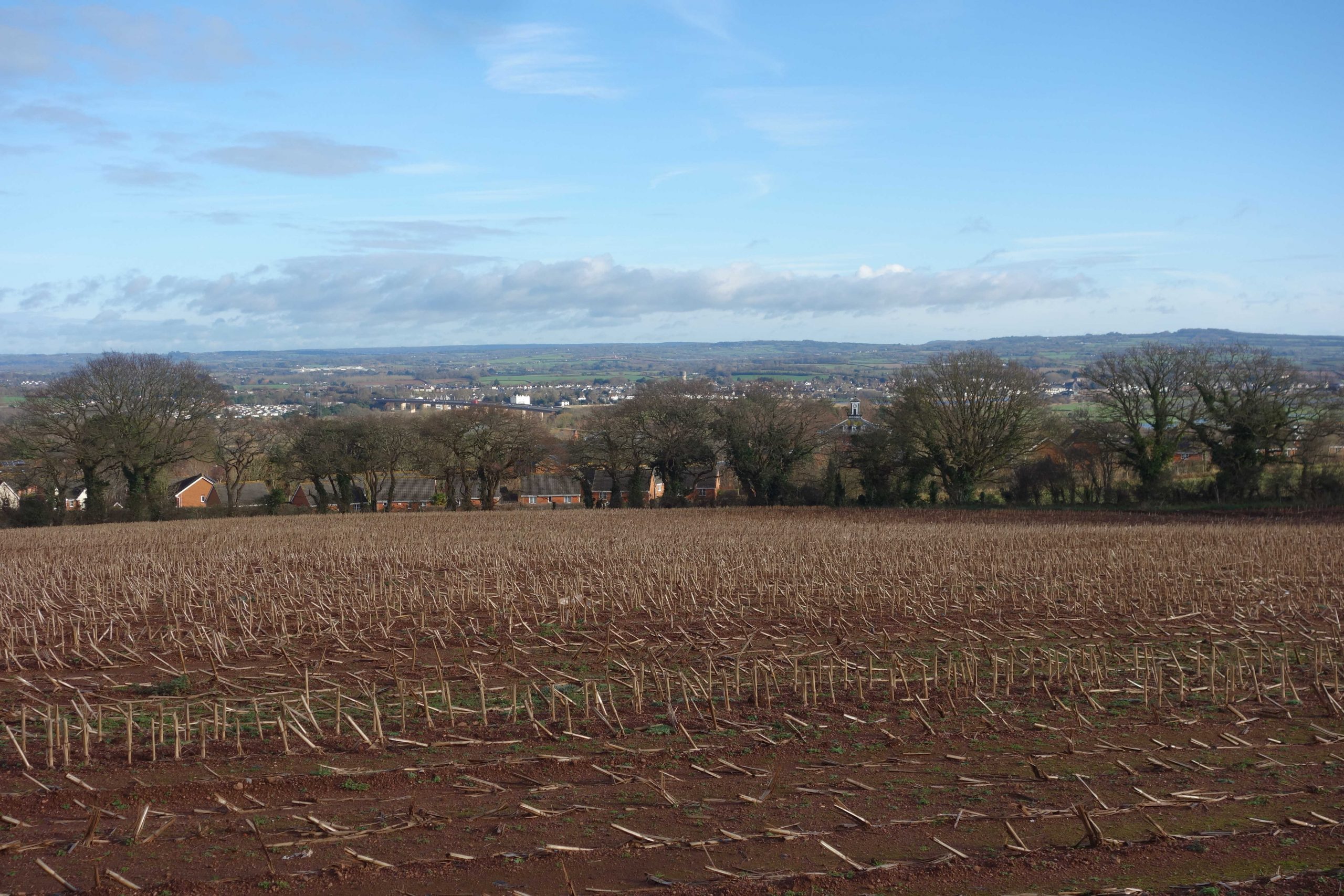
He set off from Christow sufficiently early to catch the sun on the main building at the hospital, which faces a few points north of due east.

The scout climbed to the summit at Willhayes Cross and then descended through Dunchideock. He took Manstree Lane to Shillingford St. George and stopped at a gate to look back at the Haldon ridge.
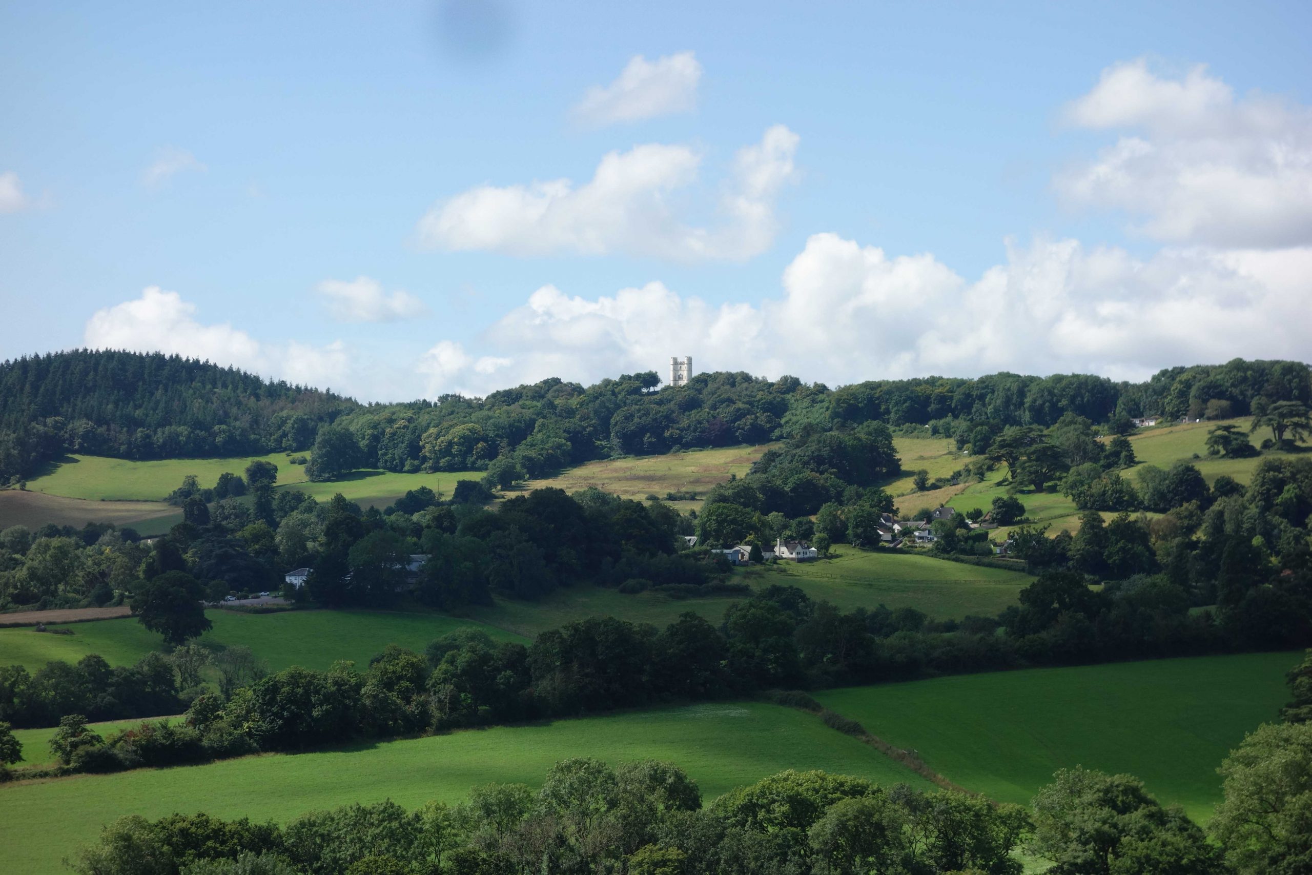
The Belvedere can be seen at left. St. Michael’s, Dunchideock, is nestled in a shaded hollow at right.
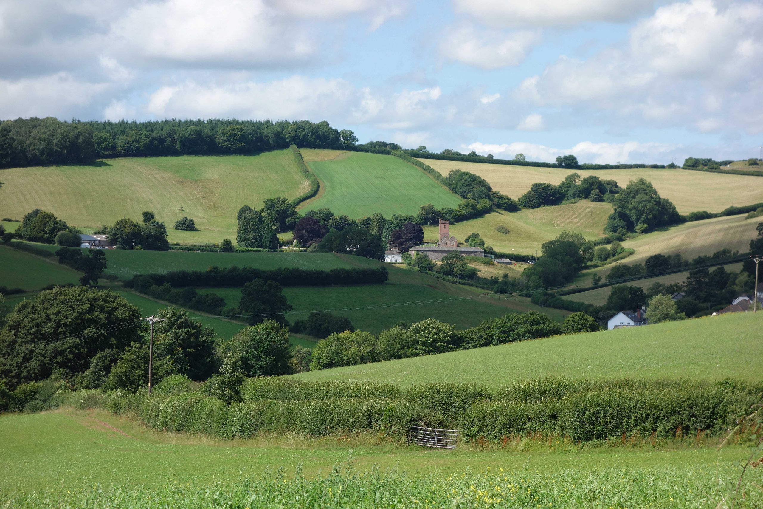
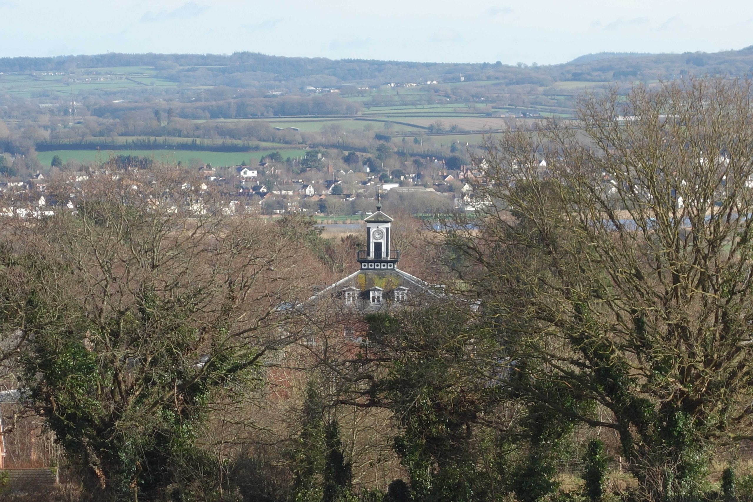
The two photos below are zooms from the same position. +
Haldon Belvedere. +
St. Michael’s and All Angels Church and Dunchideock Barton. +

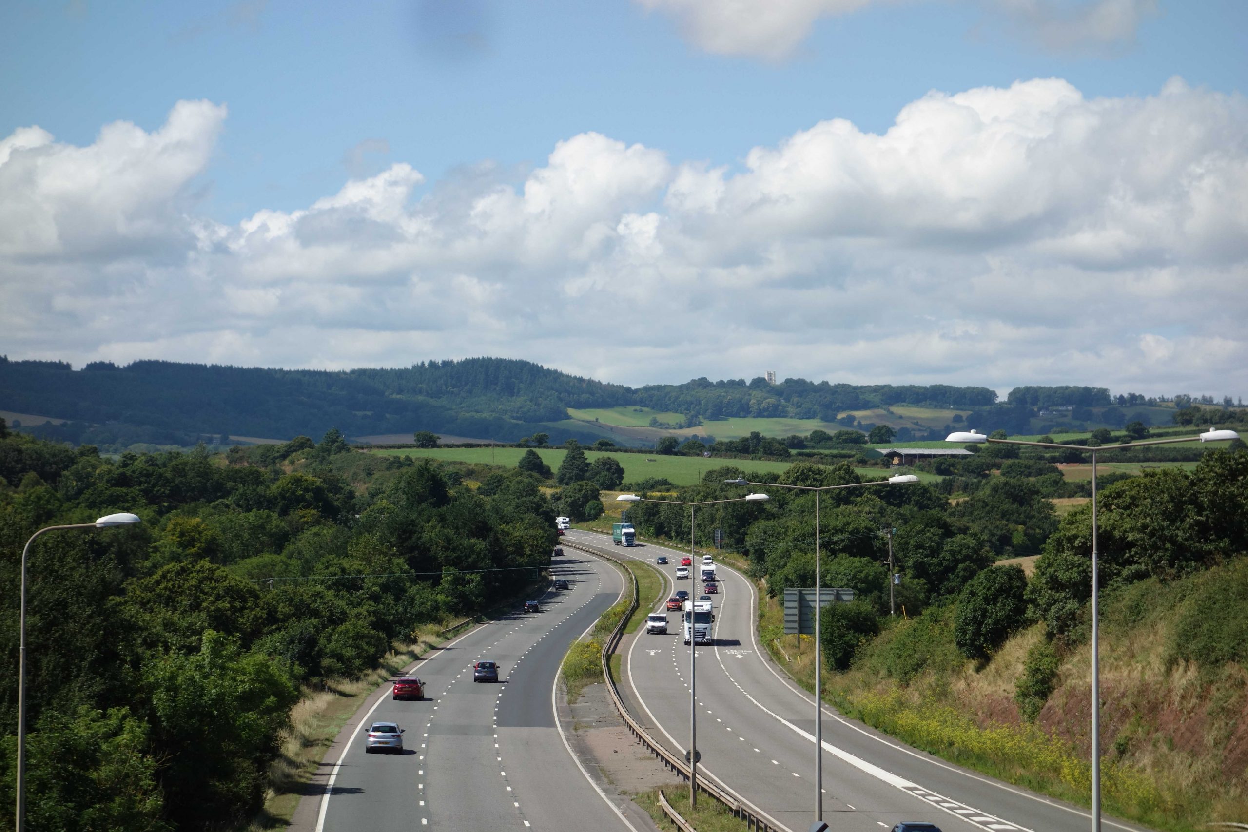
The scout climbed the very “unsuitable for motors” Sampson’s Hill from Shillingford and joined Shillingford Lane, which leads towards the old A38.

Part of the lane is becoming overgrown because it doesn’t have much of a function. +
The scout stopped near the end of Shillingford Lane to view the traffic of a Sunday morning, as restless motorists turn out to consume, pollute and congest, just as they do on any weekday.
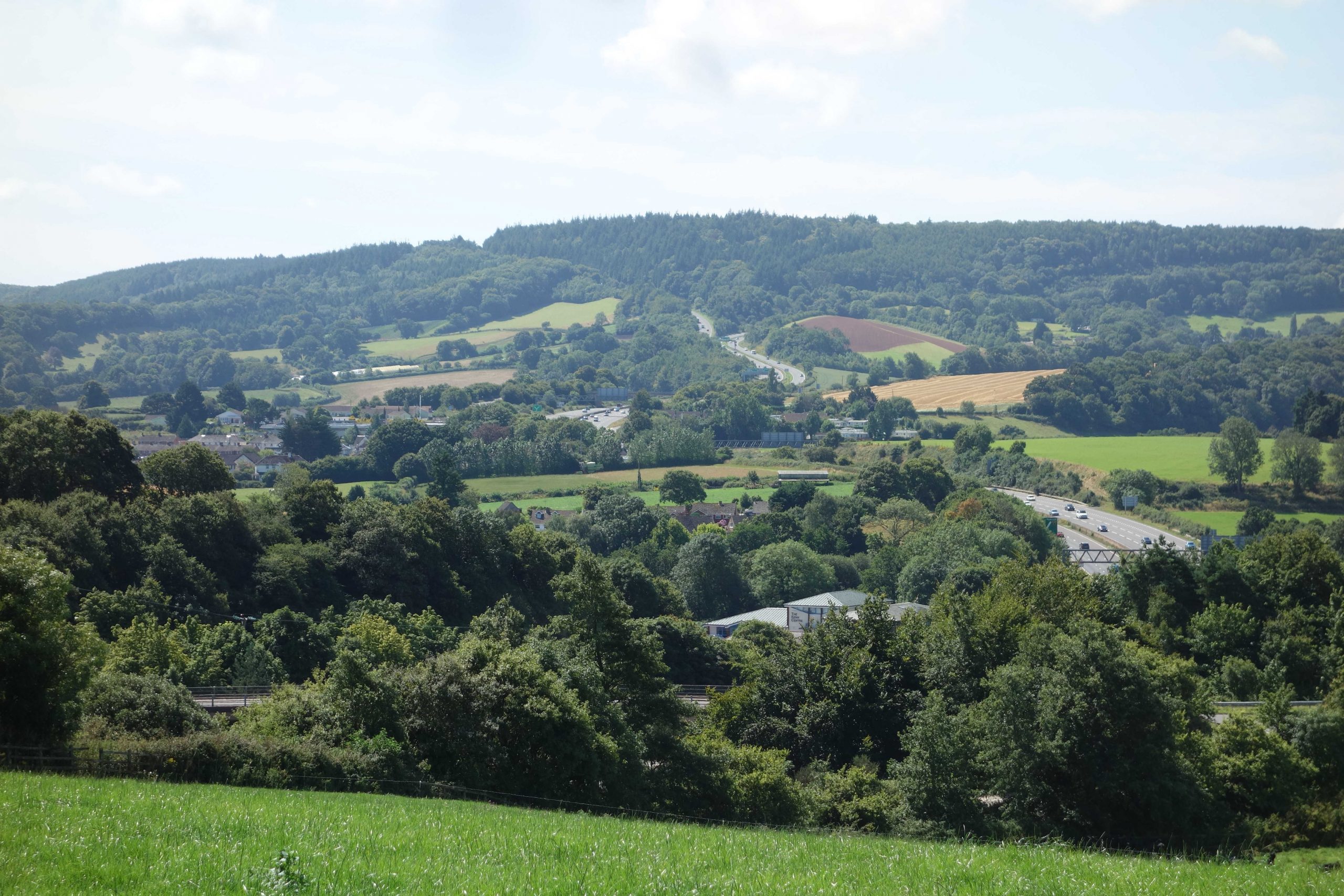
The A38 is seen climbing at centre, where the A380 has its junction at the start of Telegraph Hill. +
The scout stopped on Days-Pottles Lane and looked towards what must be the largest road cutting in Devon, through the Devon Sandstone of Pearce’s Hill. This is Junction 31, the last one on the motorway. The M5 makes an end-on junction with the A38 and the A30 diverges left.
The 70-ft. high bridge carries Old Matford Lane. Deepway Lane comes to an abrupt end at the top of Pearce’s Hill, at left. It once continued where the pylon can be seen at right.
Exminster Hospital lay on the other side of Old Matford Lane, to the right of the bridge. The hospital had its own water supply but this was greatly affected by the cutting lowering the water table. +

The next two photos were taken from Old Matford Lane looking east in early spring.

The water tower in Topsham is seen at centre, with the clocktower of the hospital to the right. +
The clocktower will shortly be seen from the opposite side. +
Looking the other way from Days-Pottles Lane, the Belvedere can be seen again on the ridge. +

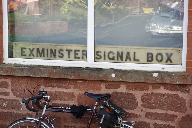
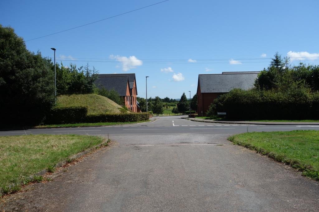
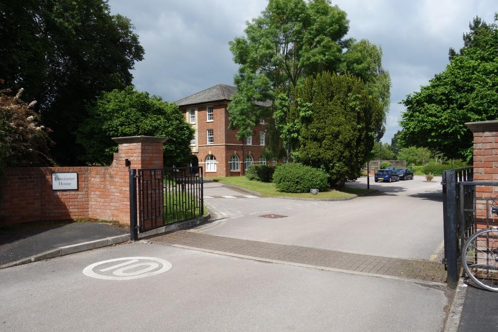
After dropping down to the village, the scout took the old Dawlish Road and was soon at the old hospital gates.

This view would not have been possible when the hospital was open.
The scout remembers waiting for the bus here after visiting the hospital when there was a red rock cutting face opposite. This was broken through to build a new road for a housing estate.
Redddaway Drive severs the old hospital drive, which once continued to the front of the building. Reddaway is an old Devon name. Some of the new roads are named after important or long-serving hospital staff members. T.E. Reddaway was employed in the works department.
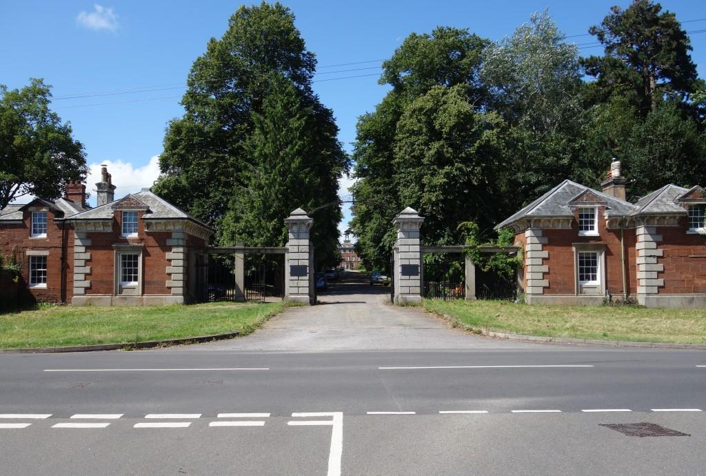
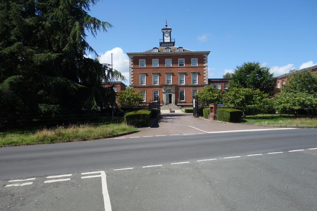
Many of the hospital buildings were demolished but the remaining core, “Devington Park,” is Grade II* listed.
The scout’s Father joined the staff here at the start of the National Health Service and retired in 1972. He qualified in 1924 and so completed 48 years in medicine. Before the scout’s Mother came along, the doctor had a flat on the first floor of the main building.
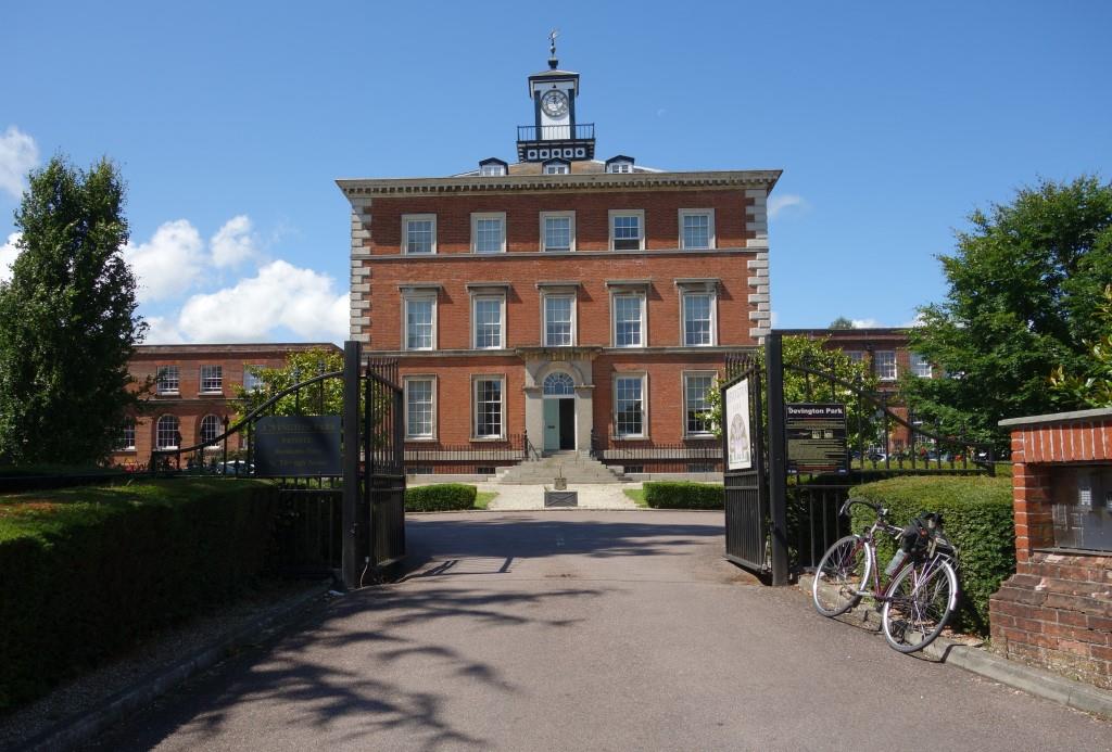
The scout remembers the doctors’ common room to the left of the entrance and once being taken up to the clocktower to view the trains running across the marshes.
It couldn’t have been much later that the sun left the front of the building.
Prominent is one end of a “U”-shaped building which enveloped the main building and from which six wings radiated. The westernmost one is seen at centre. To the right once lay works buildings and the Nurses’ Home.
The former Nurses’ Home is now Exminster House, used as offices by the Environment Agency.
It was here that the scout’s Mother was billeted when she was sent on a course from St. Lawrence’s in Bodmin.
Not quite the extent of the hospital is captured in this aerial view taken in its last years.
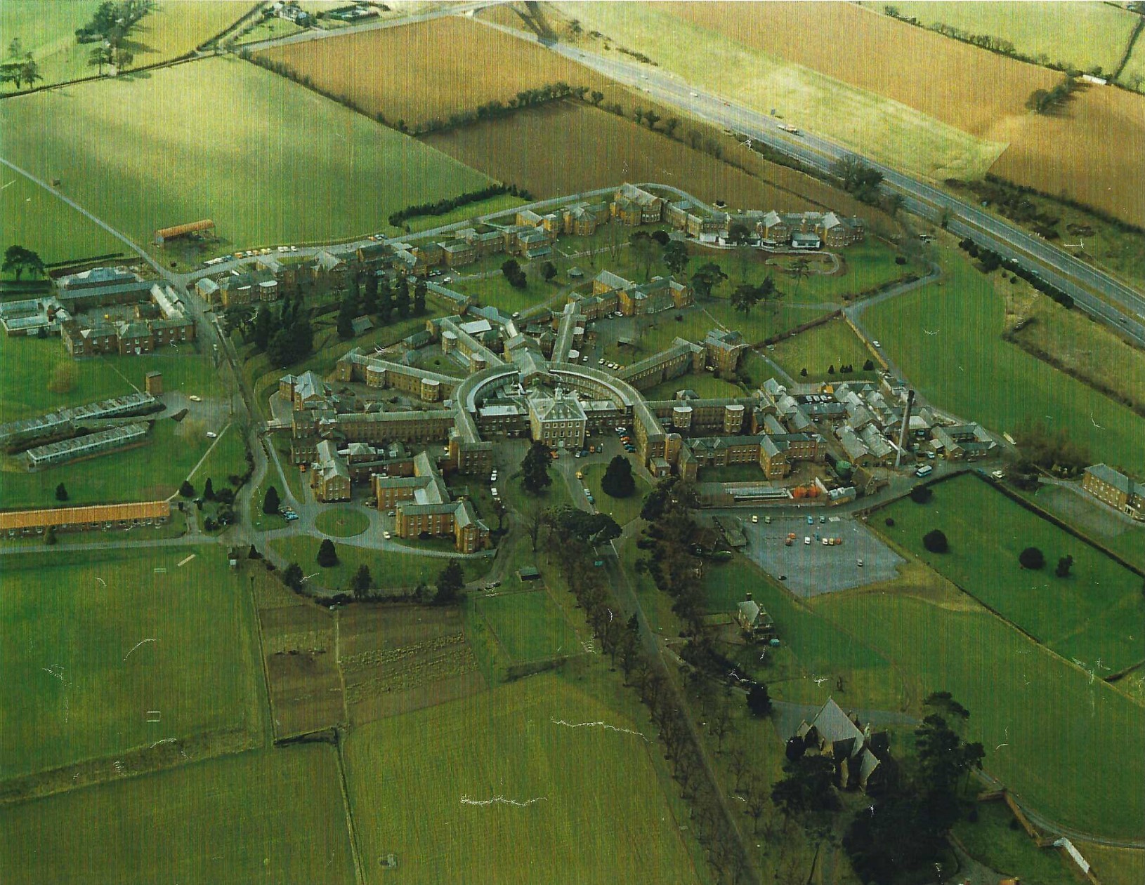
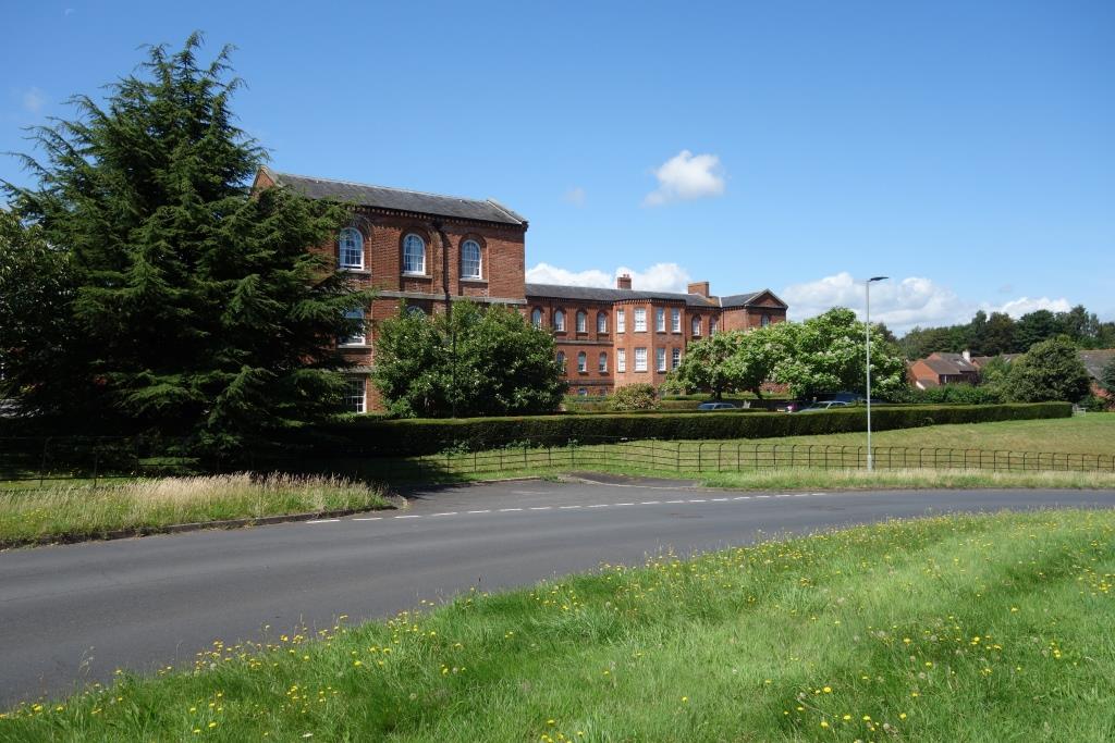
The surviving part of the complex can easily be identified, with its six wings. Most of the later, peripheral buildings have been replaced with housing.
The main building is where the scout’s Dad had his flat; the Nurses’ Home, at far right, is where the scout’s Mum was billeted; somewhere in the picture is the mortuary where they met, over a corpse; and below right is the chapel where the cub scout was nearly christened “Christopher Robin.”
At middle right was the works section which employed 40 men. There were a boiler house, a small power station and a laundry. There were O.T. workshops and gardens. The square seen at far left was “The Farm.” It has been converted into homes.
The motorway is obvious. It opened in 1977 and the hospital closed in 1986. Coming in at top left is Deepway Lane. From the fork, it continues as Old Matford Lane; a bit of the bridge over the M5 can be seen at the very top.
+

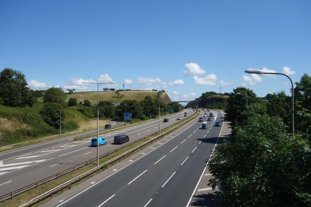
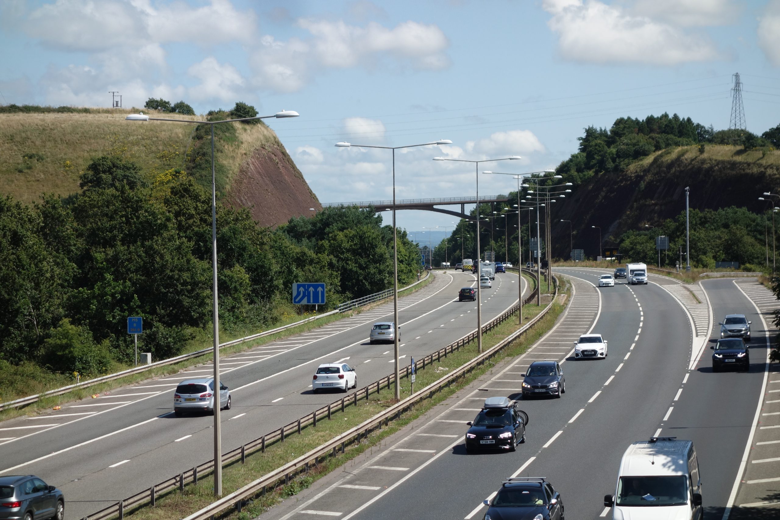
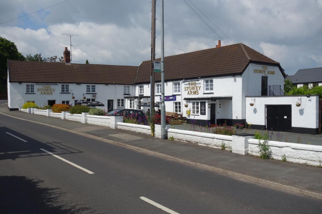
Returning to the main road, the scout was reminded of his Dad’s after work haunt.

“The Stowey” was his Dad’s generic name for pubs.
The scout has a generic name but it won’t be put here.
Lastly, there is a bit of railway interest. The sign is in the window of the village’s Victory Hall.
This entry was posted in Uncategorised. Bookmark the permalink.