
Disgracefully, it being Campaign for Better Transport’s “Better Transport Week,” the scout drove the utilicon to Okehampton instead of catching the train from Exeter.
After chatting with station friends and handing over some relics which belonged at Okehampton, including the last working timetable before the through route was closed, marked “Okehampton Booking Office” on the cover, the scout set off towards Hatherleigh to conclude his refresher of the light railway that he had followed from Torrington last August.
At Folly Gate, he turned into a new road serving one of the housing enclaves which has sprouted there in recent years. This one, of 23 “contemporary” units, “moments from the Dartmoor National Park,” has spoiled the western aspect of the remote Okehampton Station Master’s house. At 725 feet, the new urban carbuncle may at least provide some shelter from the wind.
Intent on matching the 40 m.p.h. the scout clocked on his last descent from Folly Gate, he shot past the large sign for Inwardleigh, fortunately not by far. Looking back, the north face of the sign was so filthy that he couldn’t read it.
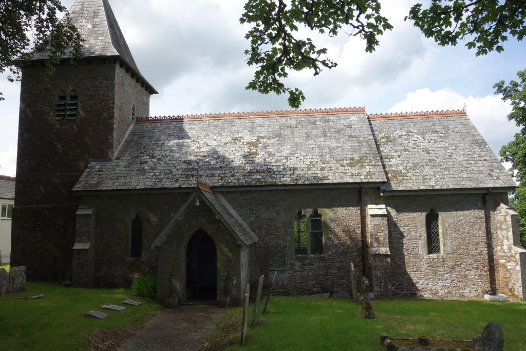
Inwardleigh
Without the church dedicated to St. Petroc, the place could easily have been thought not a village, yet it once had a post office and Sportsman’s Arms; and the number of names on the war memorial suggested a large parish (which also includes Folly Gate). The names are of the 1914-18 dead only.


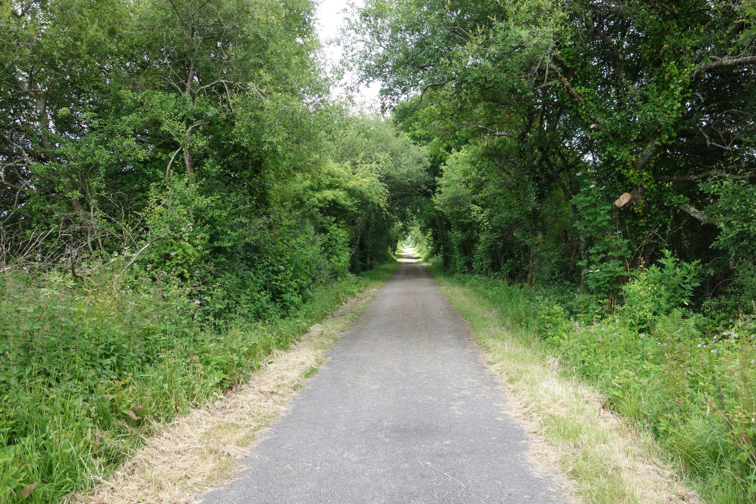
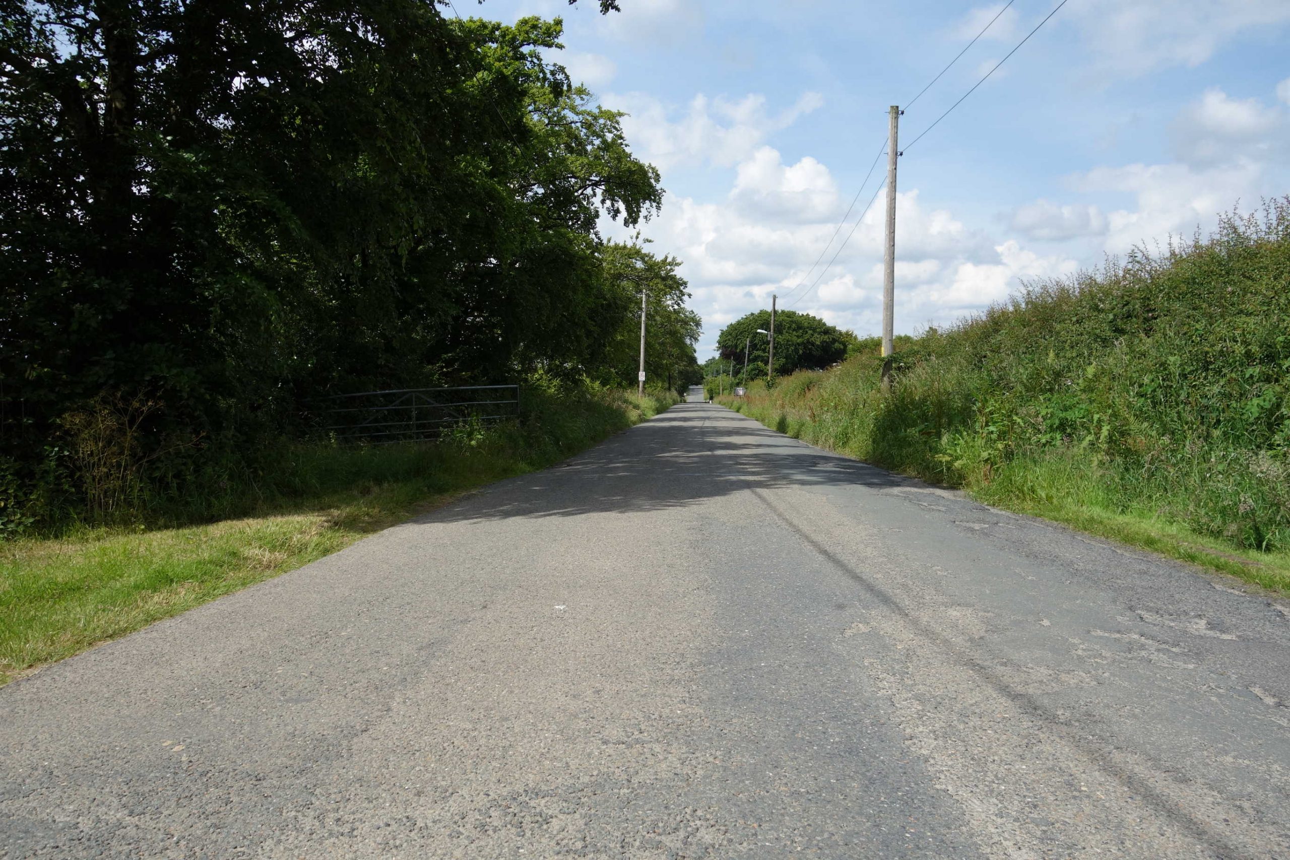
It’s been said before: if ever it were thought that more than a few read these pages, the open roads that are found would never be revealed. The lanes to Hatherleigh were mostly a delight to ride and the scout reflected upon his stock advice: if you want to enjoy solitary cycling, with interest and variety, keep off the cycle trails.


Hatherleigh


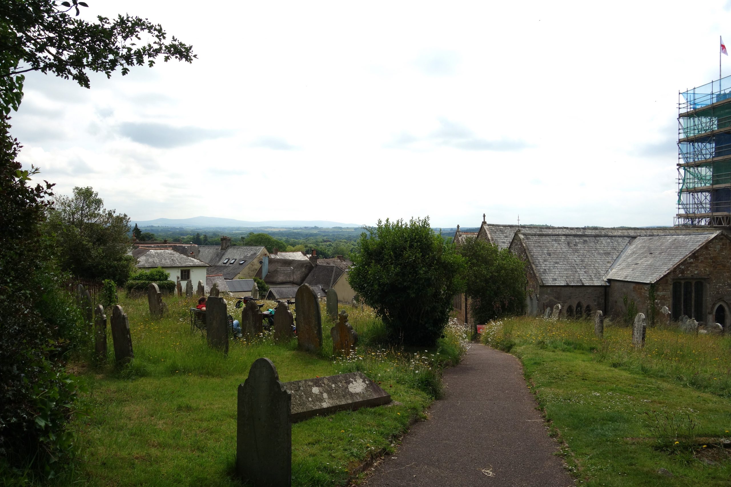
A fellow installing railings told the scout that he had admired his bicycle; the fellow had a photo of the 1980s Raleigh he was rebuilding on his telescreen.
High Willhays, the highest point of Dartmoor (and Devon) can be seen at centre left. +
The scout left town on the same road and turned onto Runnon Moor Lane.


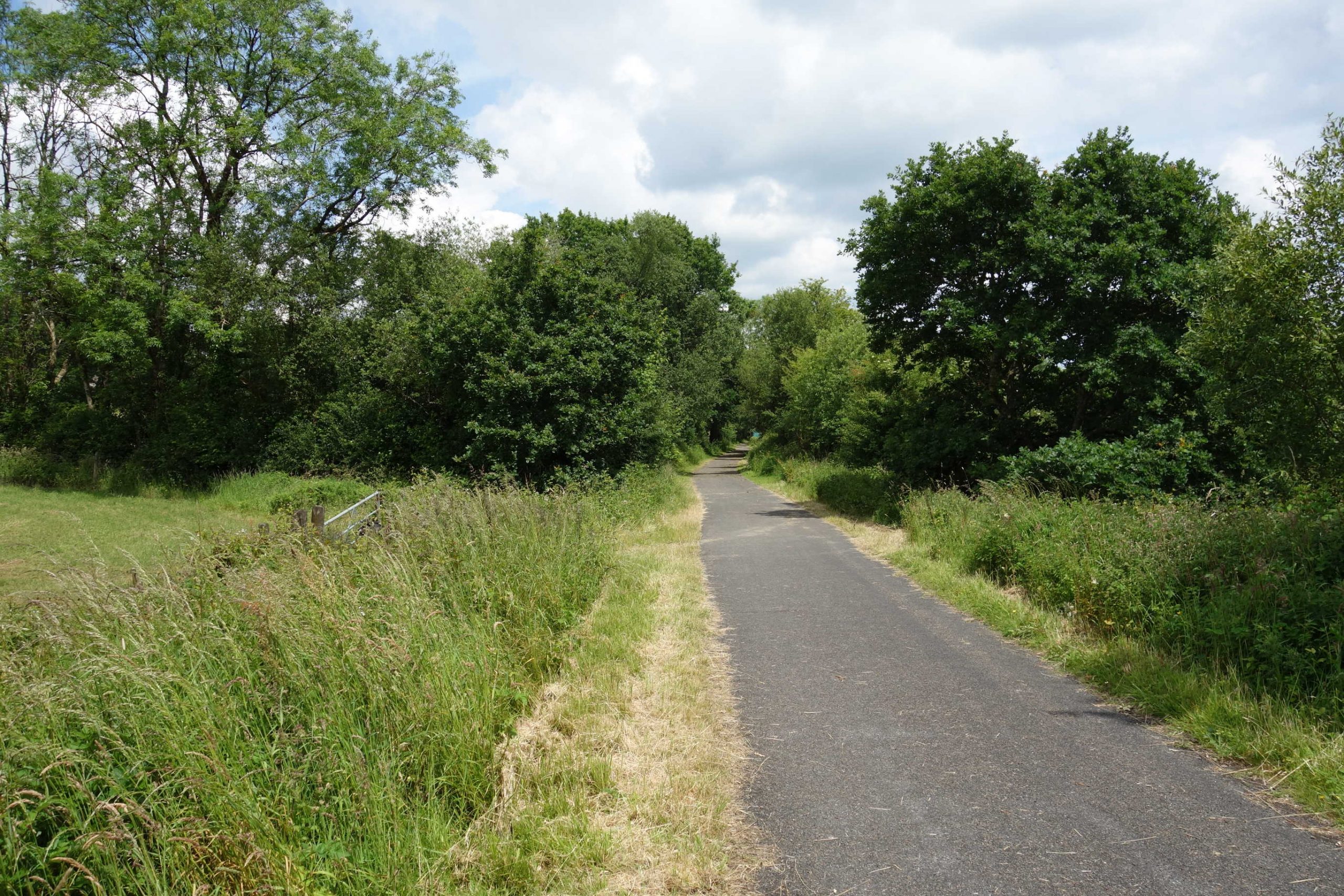
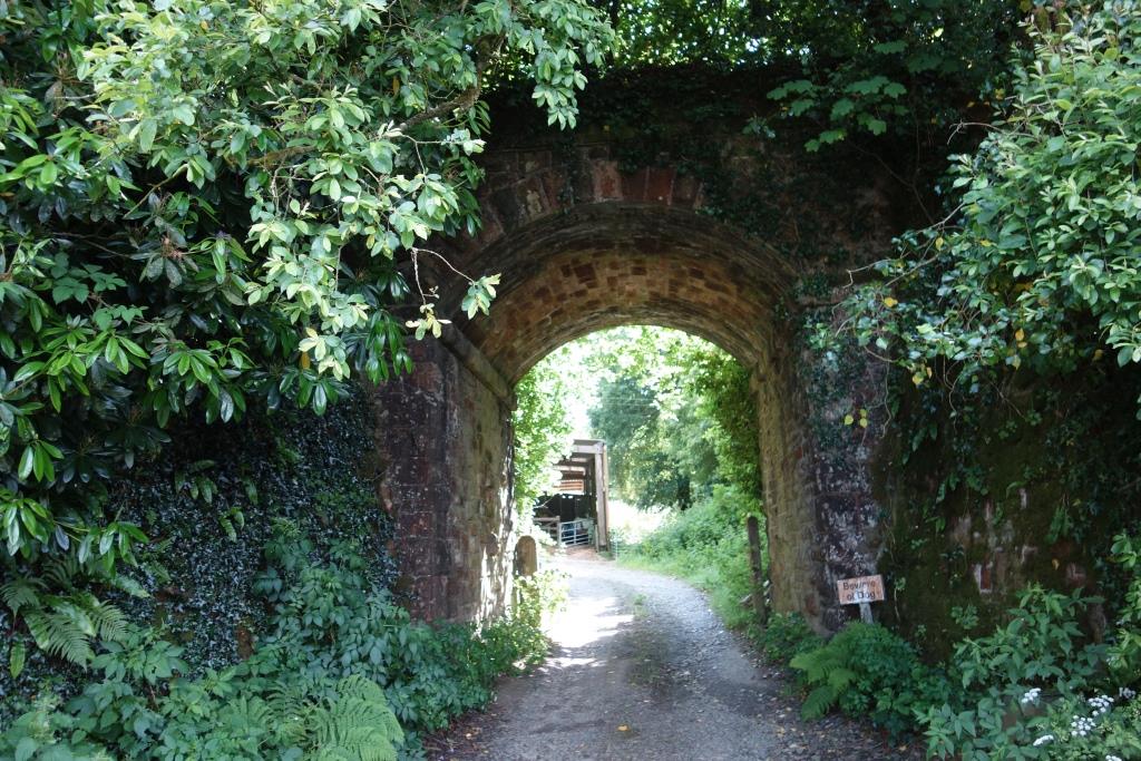
All the features of a light railway are here: level crossings; severe curvature; short, sharp gradients; and minimal earthworks. +


The scout did not have far to go along the turnpike to find the former crossing, which was half way along a one and a half mile straight, possibly the longest on the line; not that it made any difference on a 25 m.p.h. railway.


Highampton
When he reached Highampton, the scout was surprised to find a blue sign pointing along Burdon Lane, which is not a through road. His guess that another section of the line must have been made into an escape proved correct.


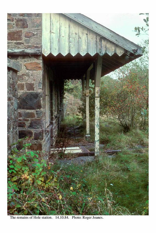
Hole


The station was meant to serve Black Torrington but Col. Stephens must have decided that for economy it should be named after the nearby farm.
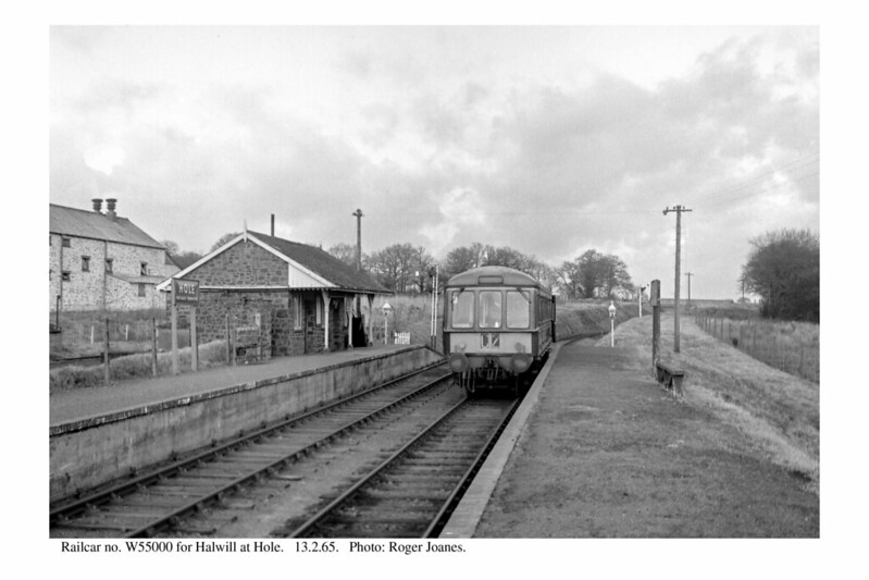
Copyright: Roger Joanes. Shared under Creative Commons. +
Copyright: Roger Joanes. Shared under Creative Commons. +
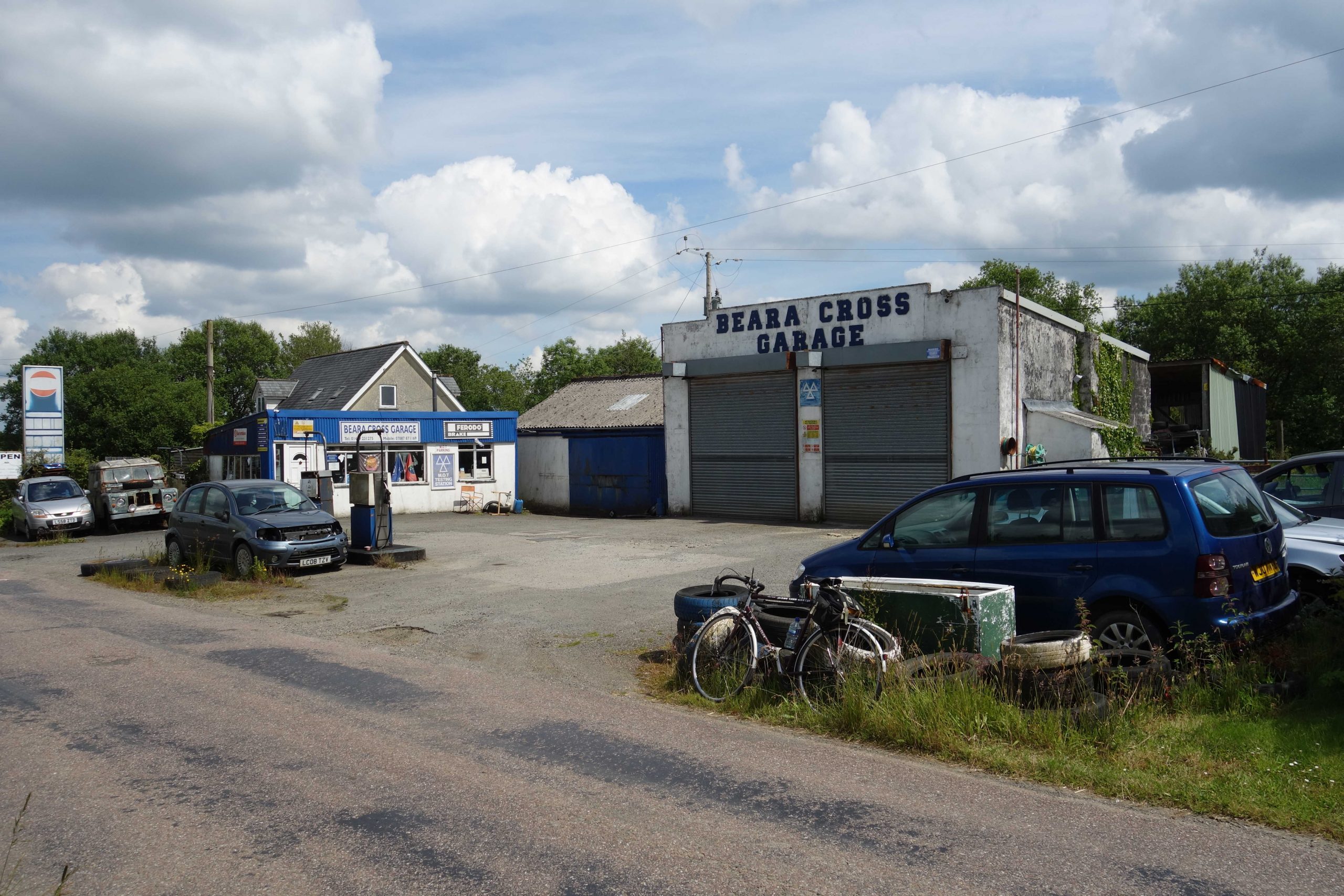
In rural areas, where filling stations are now few and far between, the scout wonders how many miles are driven just to obtain fuel. +


Halwill Junction
Or Halwill for Beaworthy, as it was listed in the “Official Hand-Book of Stations” published by the British Transport Commission (Railway Clearing House) in 1956.
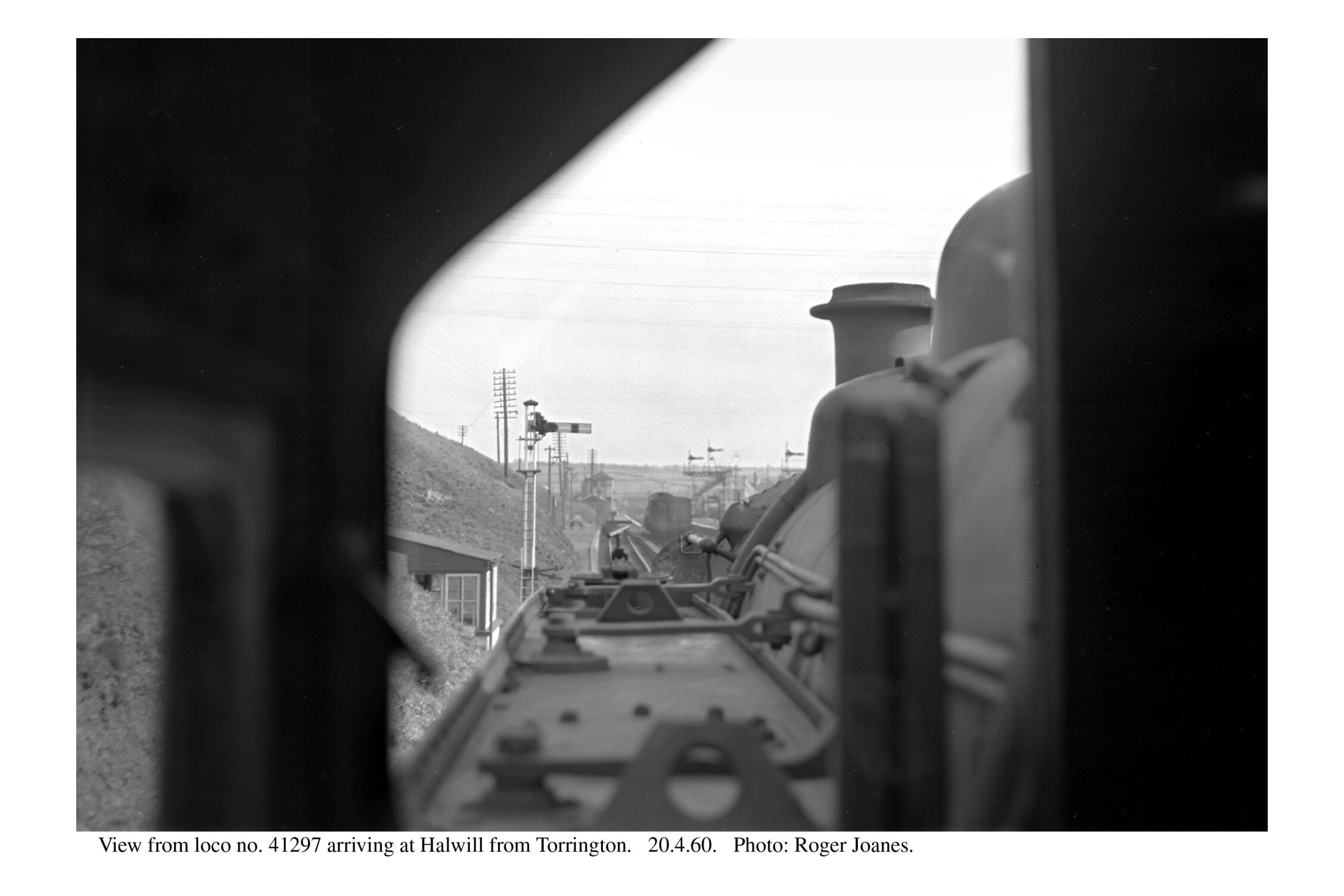
Copyright: Roger Joanes. Shared under Creative Commons. +


Okehampton to Holsworthy, 2019
North Cornwall Refresher, 2020
Halwill Junction to Bude, 2022
Beaworthy
Halwill Junction is now much bigger than the village the station was once for.
The road climbed and was soon right beside a cutting, still protected by wooden fence posts and heavy wire. Thereafter, the lanes took the scout away from the railway and meandered towards Northlew, which he entered by joining Station Road, leading towards Ashbury, two and a quarter miles away.
Northlew


A tragic distinction the village holds is that more men per head of population were killed in the First World War than any other place in the country.
Then it was non-stop to Okehampton. The scout thought he was flying down New Road but cars were still overtaking. He passed them all at the traffic lights on West Street by crossing the road and riding on the pavement up George Street. This sort of bad behaviour always occurs when he’s tired.
He had clocked 35 miles when he returned to the station. After a cheery wave to the night watchman, tucking into his dinner on the seat beneath the footbridge, the utilicon was driven back to its shed.