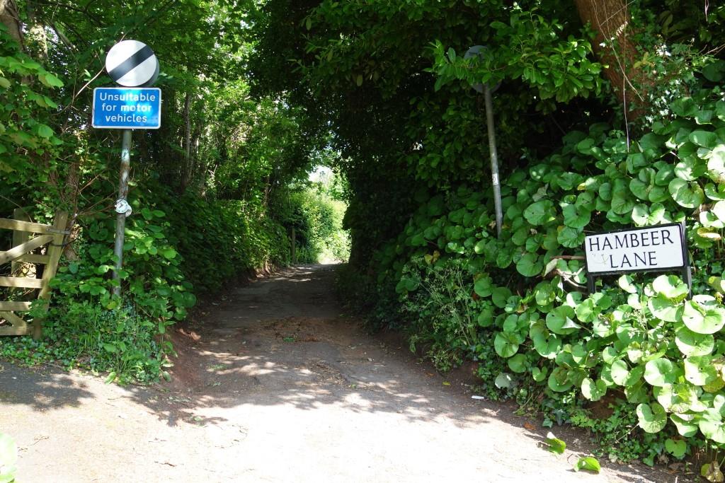
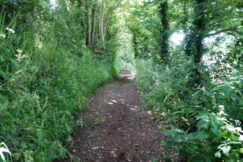
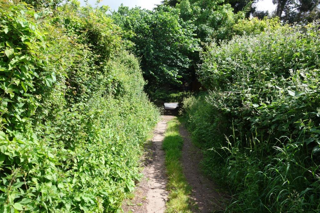
This byway leads from Little John’s Cross down to Cowick Lane in Exeter. Thanks to a Devon County prohibition (Traffic Regulation Order), no motor vehicles are allowed beyond the few properties near the top.
From some windows in the greenery, there are views across the valley of the Alphin Brook and the course of the old Teign Valley Branch can be followed.
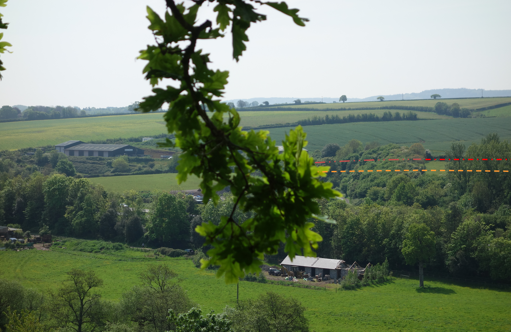
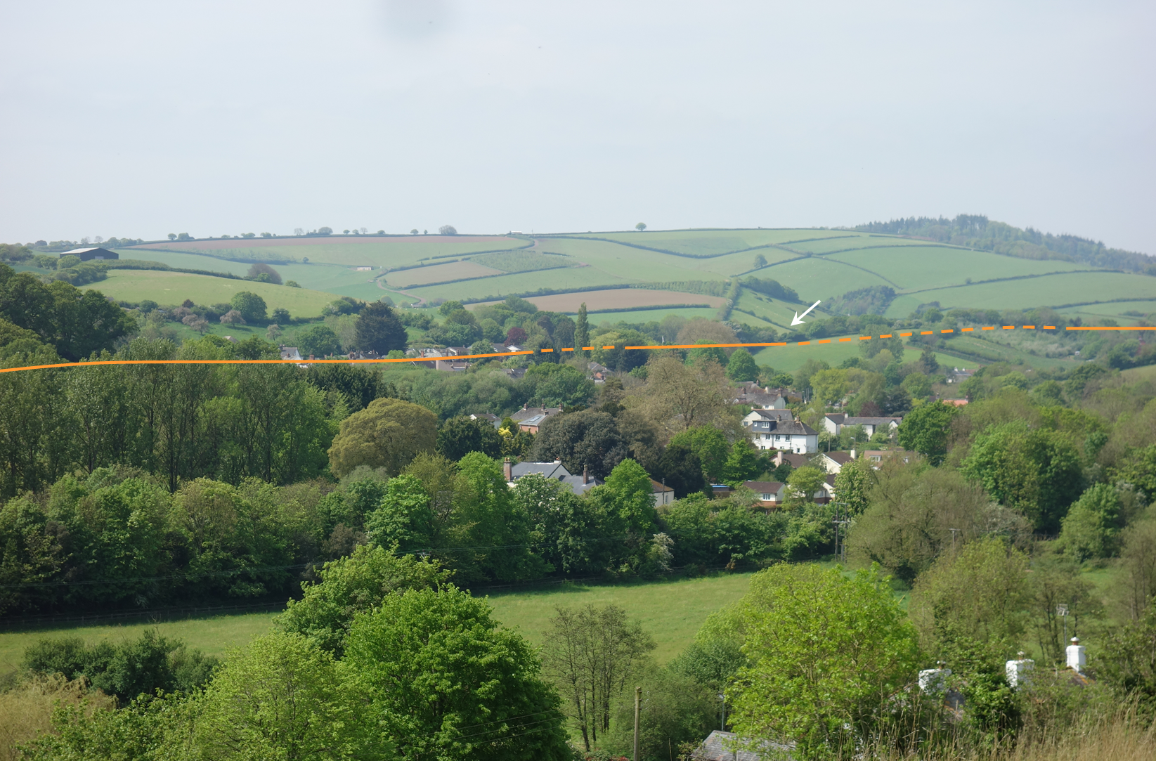
The A30 dual carriageway and the substitute for Ide Lane (shown on the 2010 Exeter street map as Moretonhampstead Road) have obliterated the line coming from Alphington until the red dashed line is reached, where there is still a former railway boundary. The orange dashed line indicates the approximate path of a train, which would have been hidden from view. The A30 can just be seen behind the line of trees in the foreground. +
Some of the ground in the above photograph can be seen in this shot of a train passing over Ide Lane and about to enter Devon Cutting.
The second row of poplars marks the nearest former railway boundary but the line is lost to the right. Polehouse Lane is seen ascending the hill at top right. +
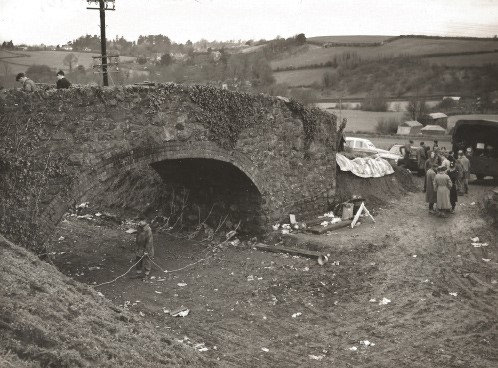
Just to the left of the top row of poplars above lay the accommodation bridge whose demolition is described in There it was, gone.
Hambeer Lane can be seen on the ridge at top right.
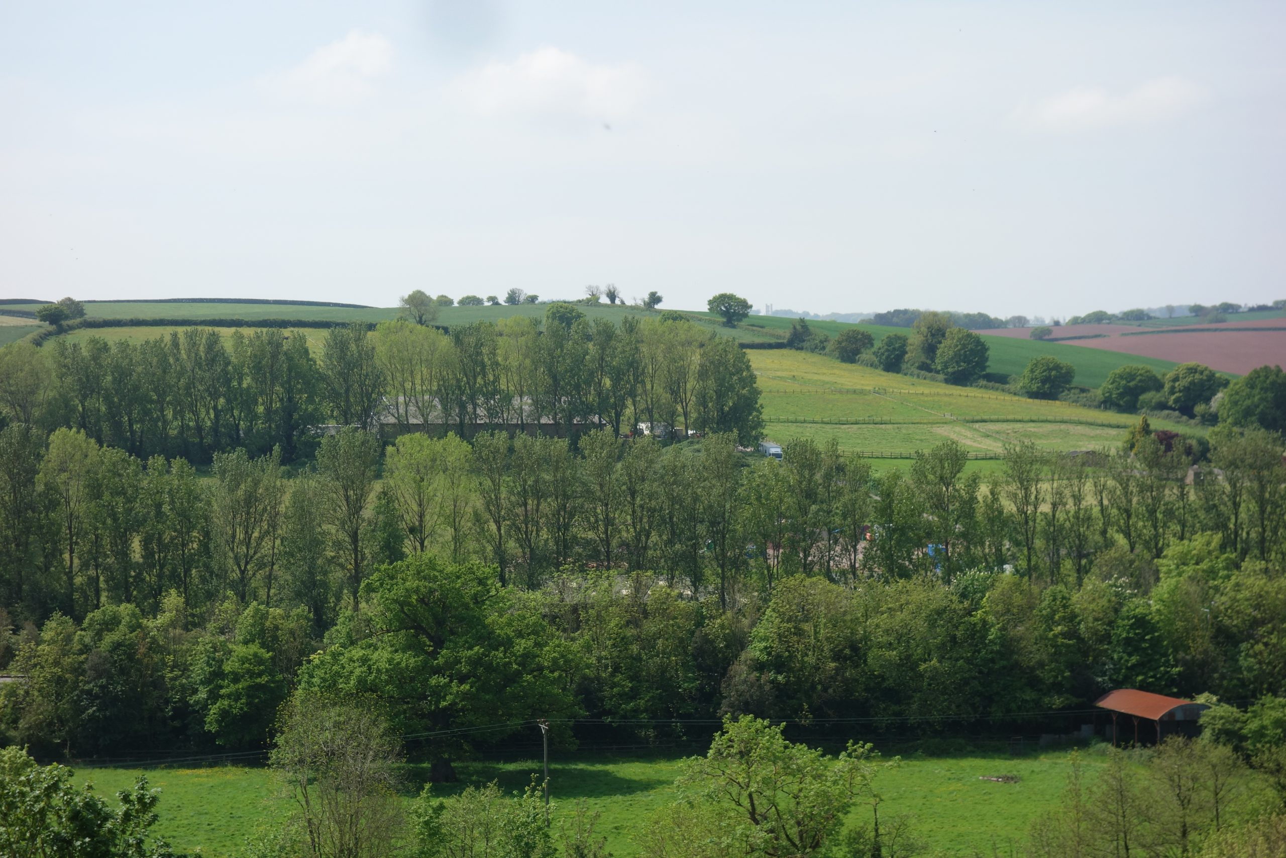
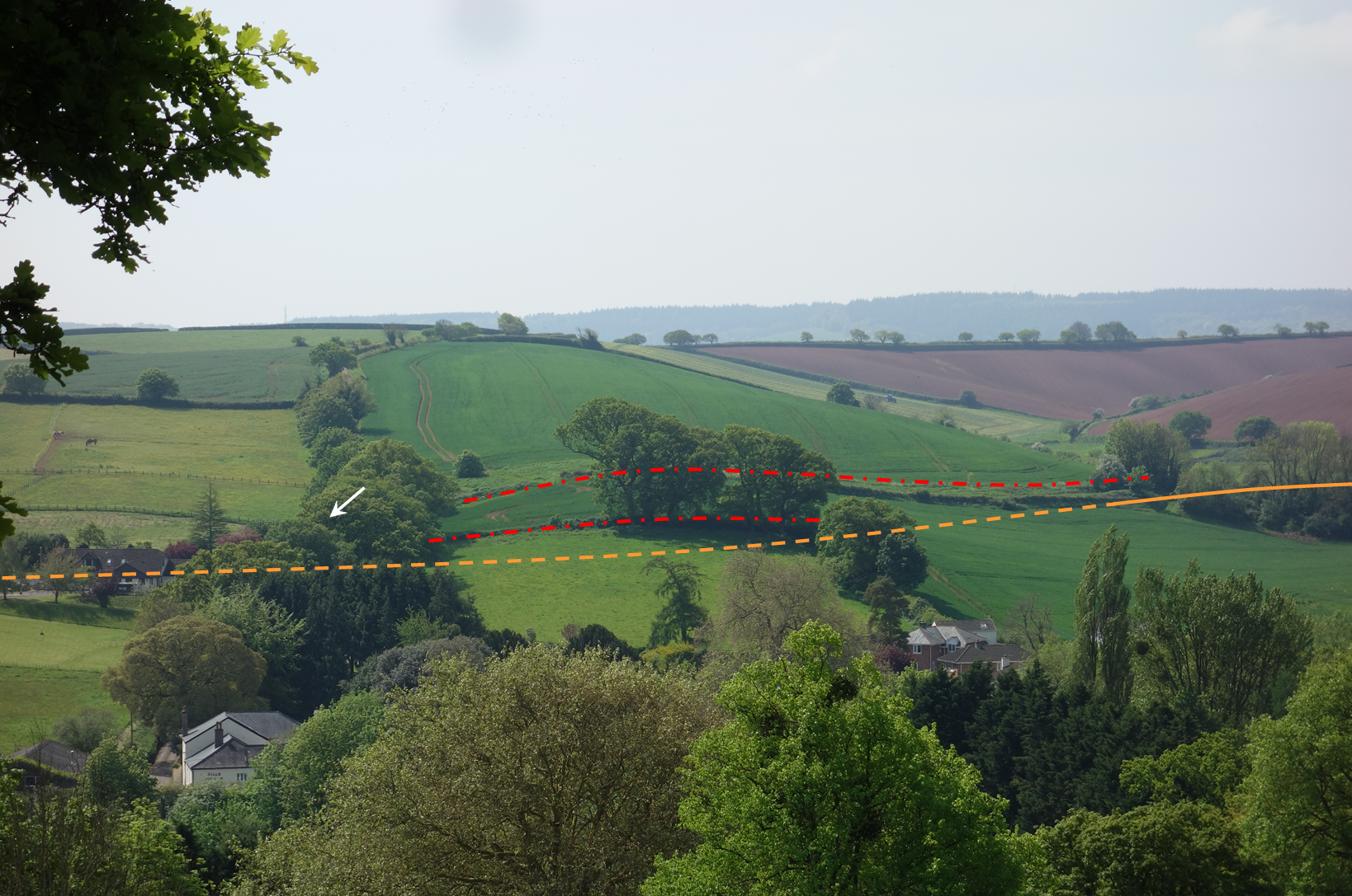
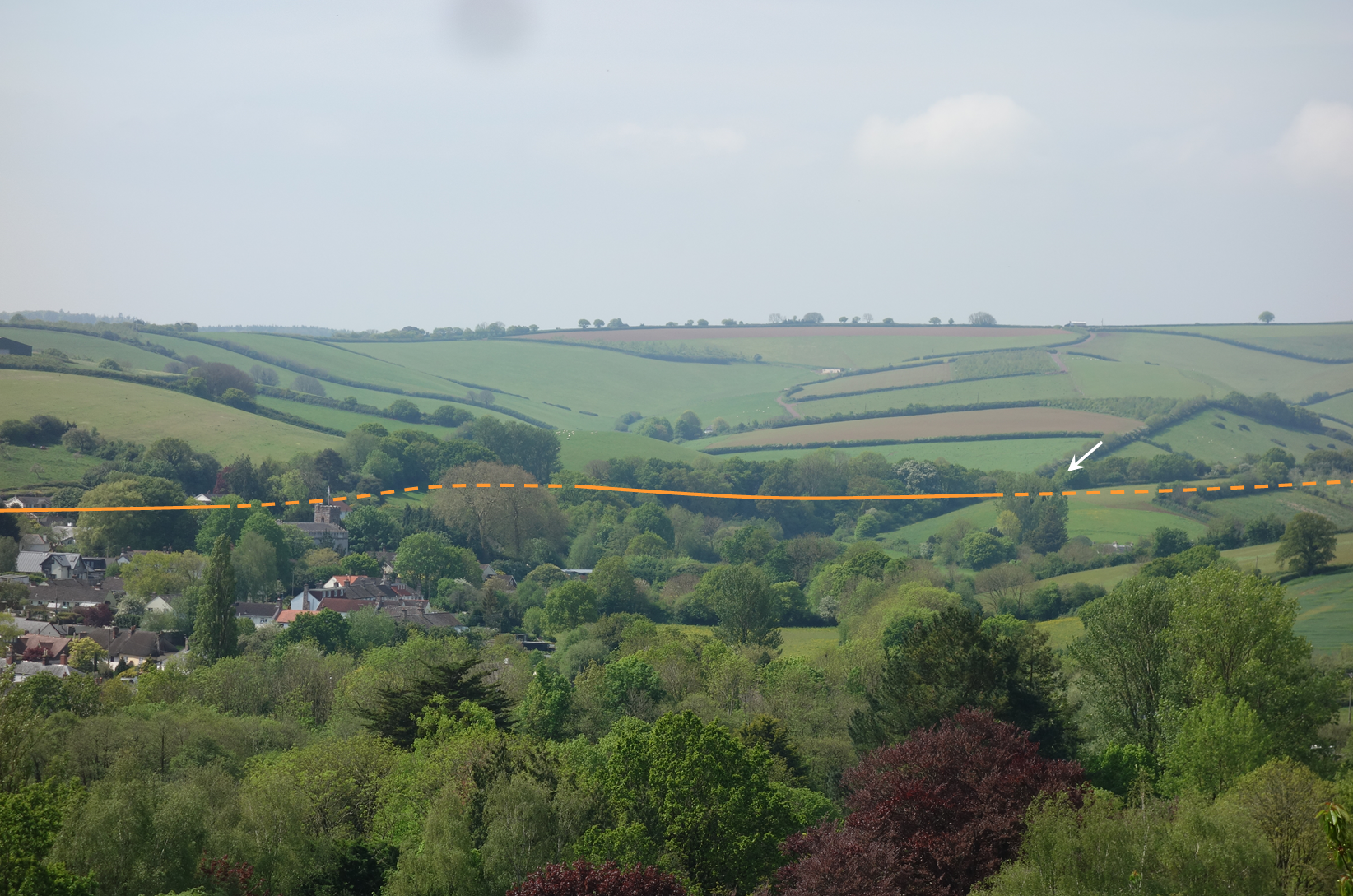
The arrow marks Polehouse Lane Bridge from where the photograph of a steam railmotor was taken in 1925. Devon Cutting, the longest but not the deepest on the line, has been filled in on either side of the bridge. Former railway boundaries are marked by the red dashed lines. A train would have emerged into view roughly where the orange line becomes solid. +
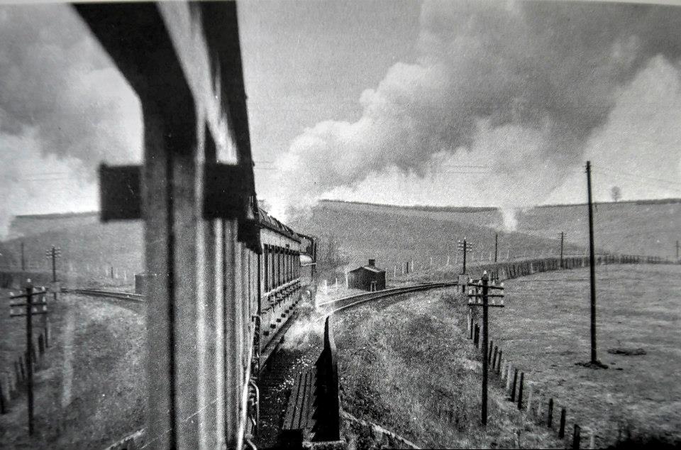
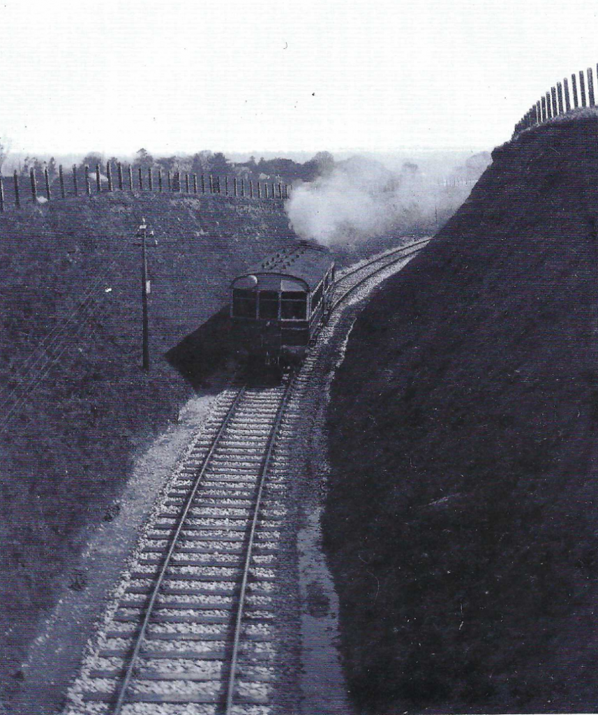
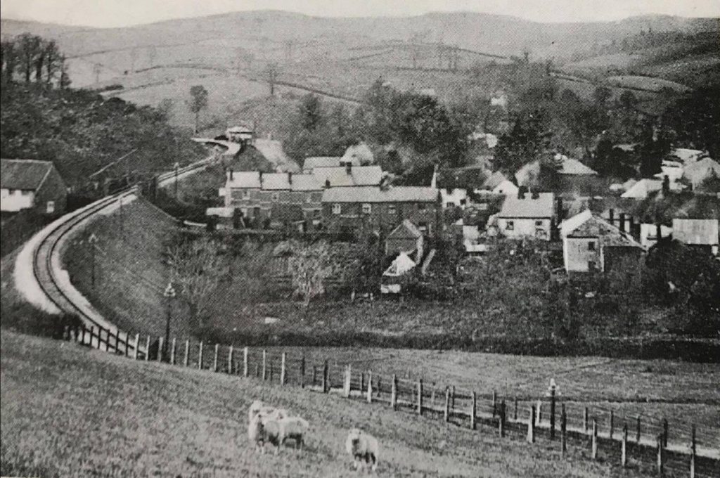
Seen from Polehouse Lane Bridge in April, 1925, the 10.55 a.m. Exeter (St. David’s) to Heathfield climbs towards Ide.
A little way above Polehouse Lane Bridge, the line is seen emerging from the cutting and running onto embankment for its approach to Ide Halt, which can be seen in the distance.
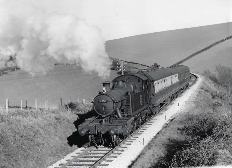
The approximate course of a train running through Ide, in view and out of sight, is shown in orange. Cotley Castle, the iron age hill fort, is marked by the conifers at top right. +The colossal earthwork of Halscombe Embankment is shrouded by trees at centre. St. Ida’s Church can be seen at centre left. The orange line marks the approximate level of the railway, not its actual position. The arrows in this shot and the one above point to where Peter Gray stood to take his 1958 photograph. +On 19th April, 1958, not two months before complete closure, the 4.35 p.m. Exeter (St. David’s) to Heathfield traverses the recently renewed track between Ide and Longdown; the following year it would be lifted. The train is running off the embankment above Halscombe Lane, the highest on the line and just one of the earthworks that remain today. The cutting seen in the background and Devon Cutting were filled with rubbish by Devon County Council in the 1960s and ’70s. Courtesy Peter W. Gray
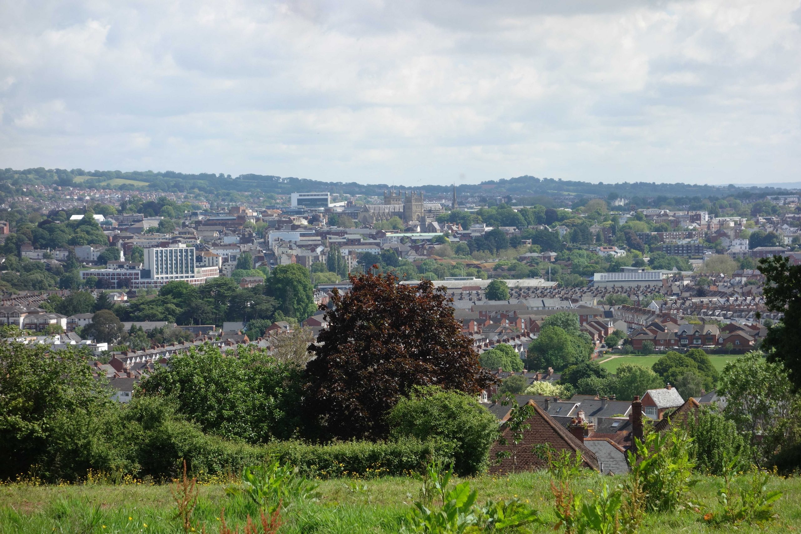
From the ridge there is also a fine view of the city. +
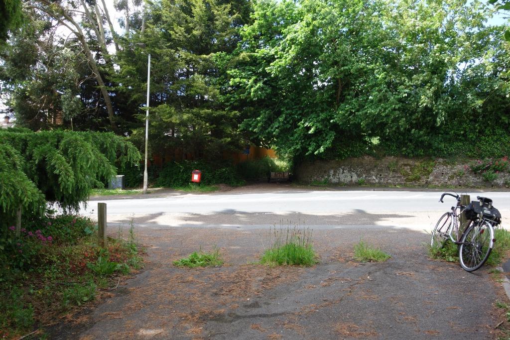
Busy Cowick Lane lies ahead, where there is a 30 m.p.h. restriction. The signage proves that this had been a vehicular route.
Hambeer Lane is seen opposite; a sign still warns that it is unsuitable for vehicles. Cowick Lane used to bend here and continue towards the camera, in line with Hambeer Lane, but was diverted to the left. Exwick Road, Buddle Lane and Cowick Lane, it is thought were all widened as part of a scheme for a northern bypass, whose bridge over the G.W. main line was never built.
The E. & T.V.R. scout, having on occasion sent a few photographs to the esteemed elders of the Cornwall Railway Society, in time rather got into the habit after his outings of submitting a short story, often under the general heading of “Route Learning” or “Route Refresher.”. Read more