
In recent years, the scout had come upon the Taw Valley at Sticklepath, Taw Bridge (on the Torrington turnpike) and Newland. It occurred to him that a length of the valley is generally hidden, and is crossed but not followed. So he determined to trace, as best he could on two wheels, the river from where it cascades off the moor to where it is joined by the Lapford Yeo; and, for good measure, to where it spills into the sea.
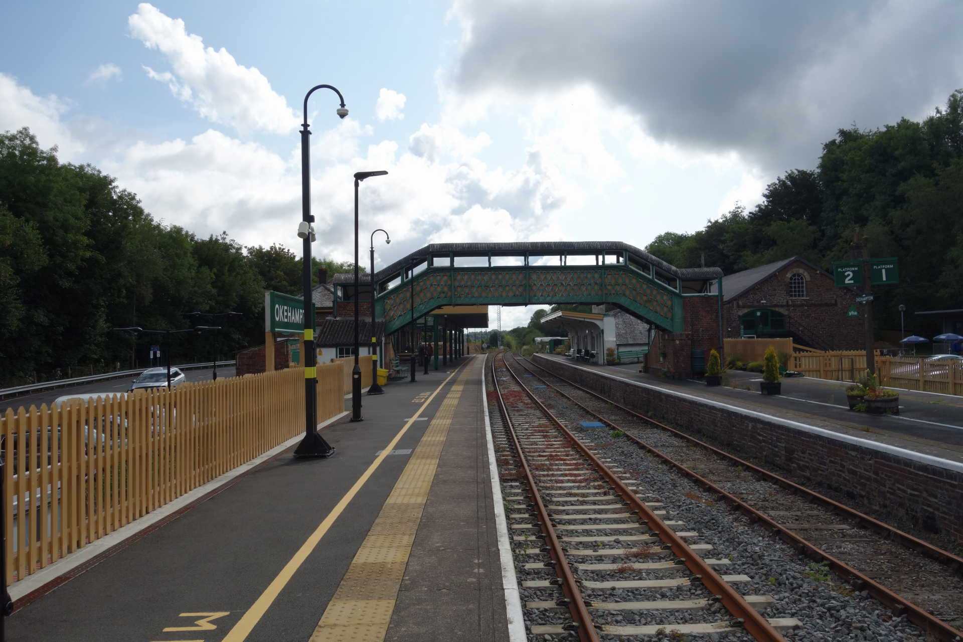
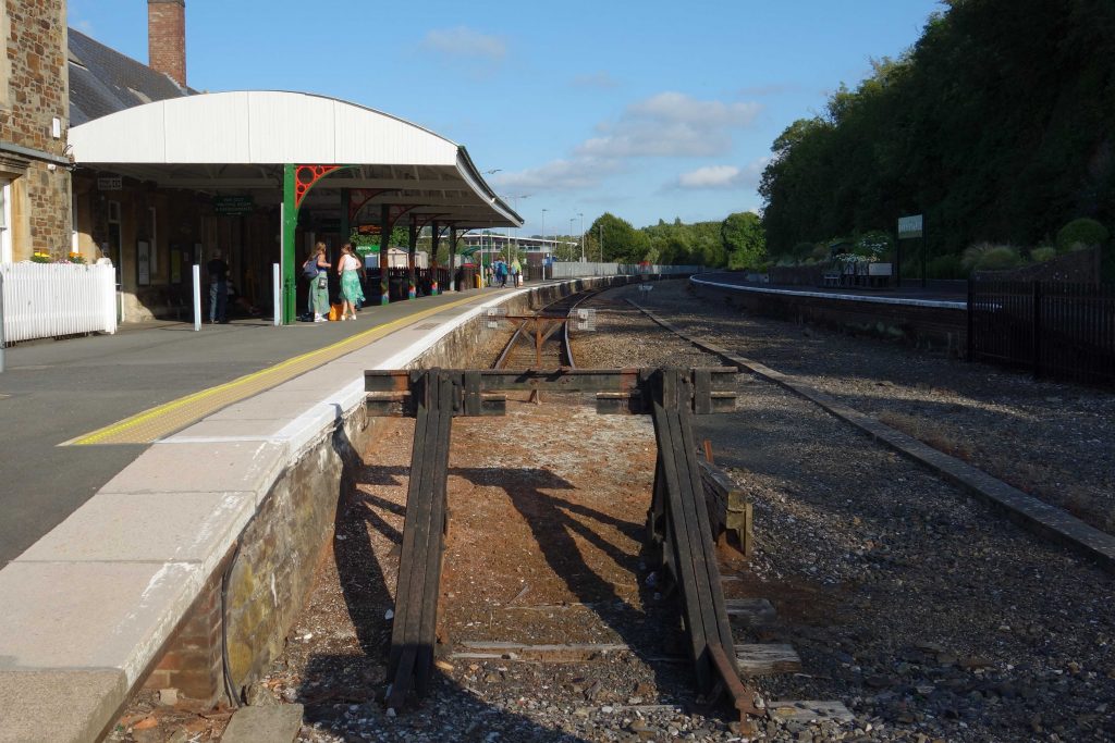
He wanted to sample the breakfast at Okehampton’s Bulleid Buffet and so, with an empty tummy, he caught the 0738 from St. David’s. He was disappointed to find that the buffet, although it had opened at eight, did not start cooking until nine.
He ambled around the station and took the opportunity to view some of the detail without any distraction. Out of curiosity, he entered the station buffet’s competitor, or companion, by the former goods shed, to see if breakfasts were served there. A very friendly lady informed him that they were and that she had cooked six already for passengers. The scout was tempted to sit at a table but he thought he should keep to the plan; importantly, he wanted to see if the sausage served at the Bulleid was as inedible as the one a friend had said he had taken home for the dog.
At ten to nine, the scout’s breakfast order was accepted and it was put in front of him just as the next train arrived, so he had gained a small advantage.
He had not ordered the bigger plate and the smaller one came with one sausage, one rasher of bacon and a smattering of accompaniments. There was no butter for the round of toast. With two cups of coffee, the bill was £16; the scout is not allowed to claim expenses on these trips.
The young waitress was wearing short shorts, which the scout did not think were appropriate for the work. The radio was playing and a noisy blower was joined by idling diesels in the platform. No one else was eating, so there was no chatter. These minor complaints have not put him off going there again, but he will be trying the Granite Way Café on another occasion.
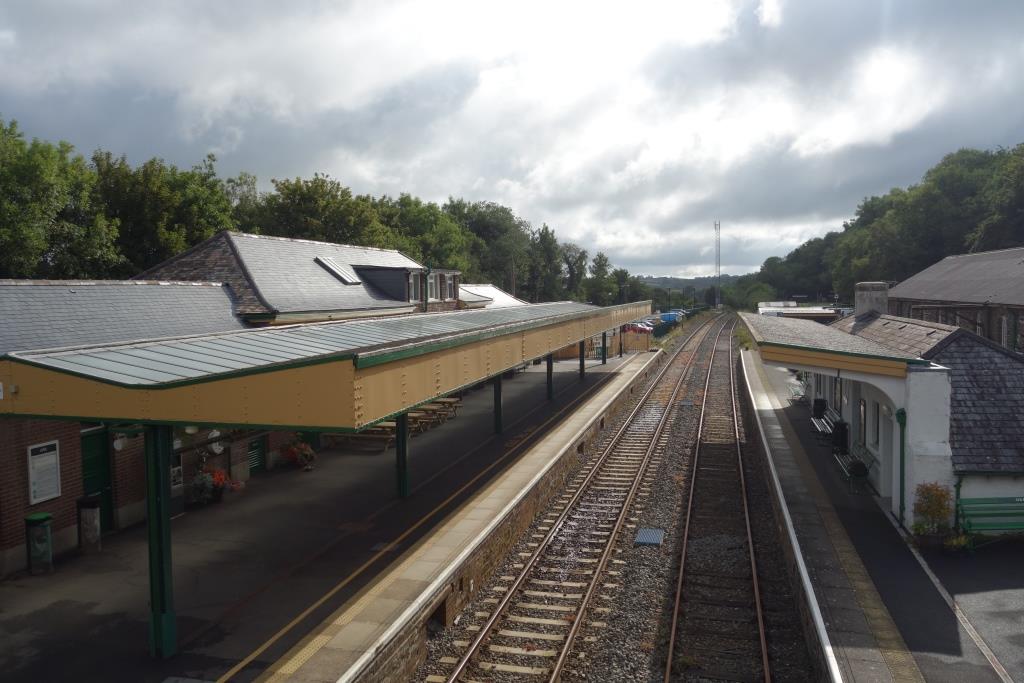
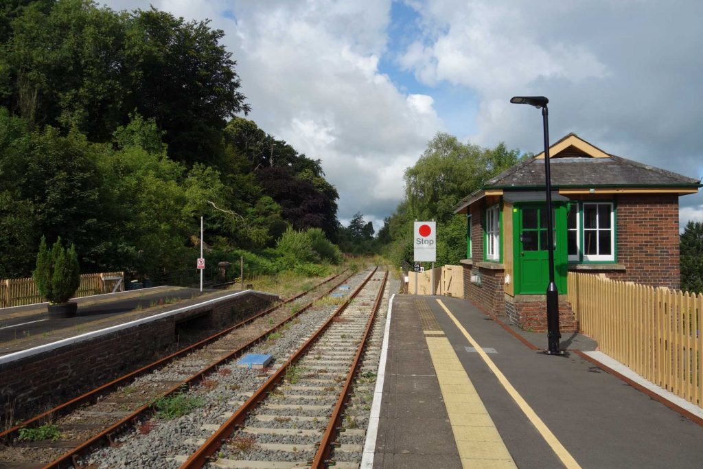


After a quick chat with friends who volunteer at the station and a look inside the box, the scout was off down the hill.
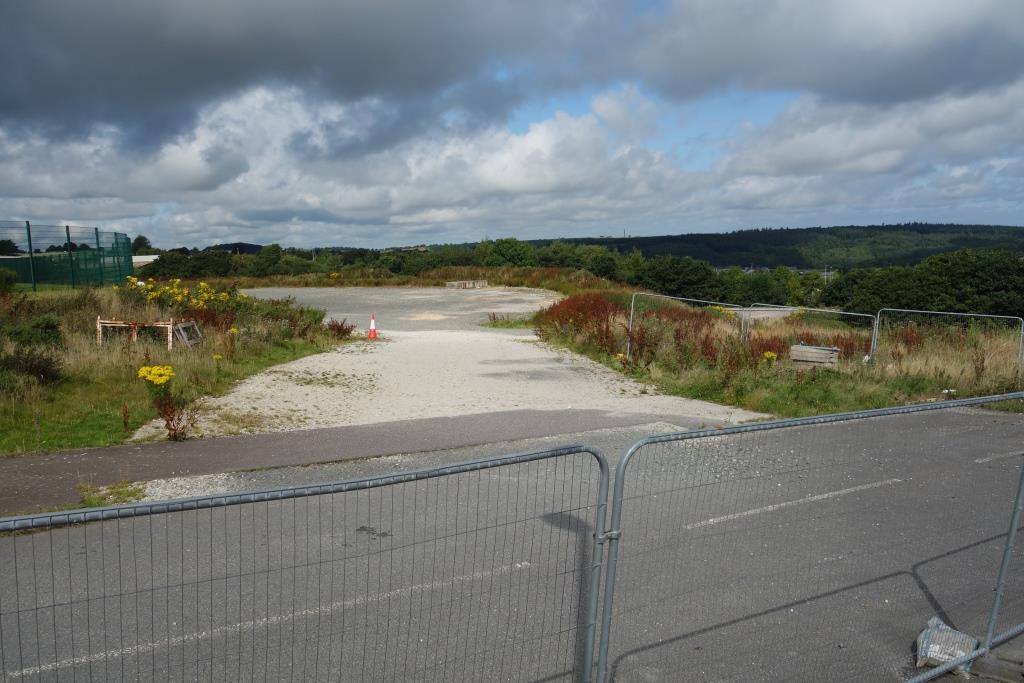
The last time he had been along Higher Stockley Mead, he had seen the works compound for the reopening project. Since then, £13.4-million has been granted for an Okehampton Parkway Station on this site.
Belstone
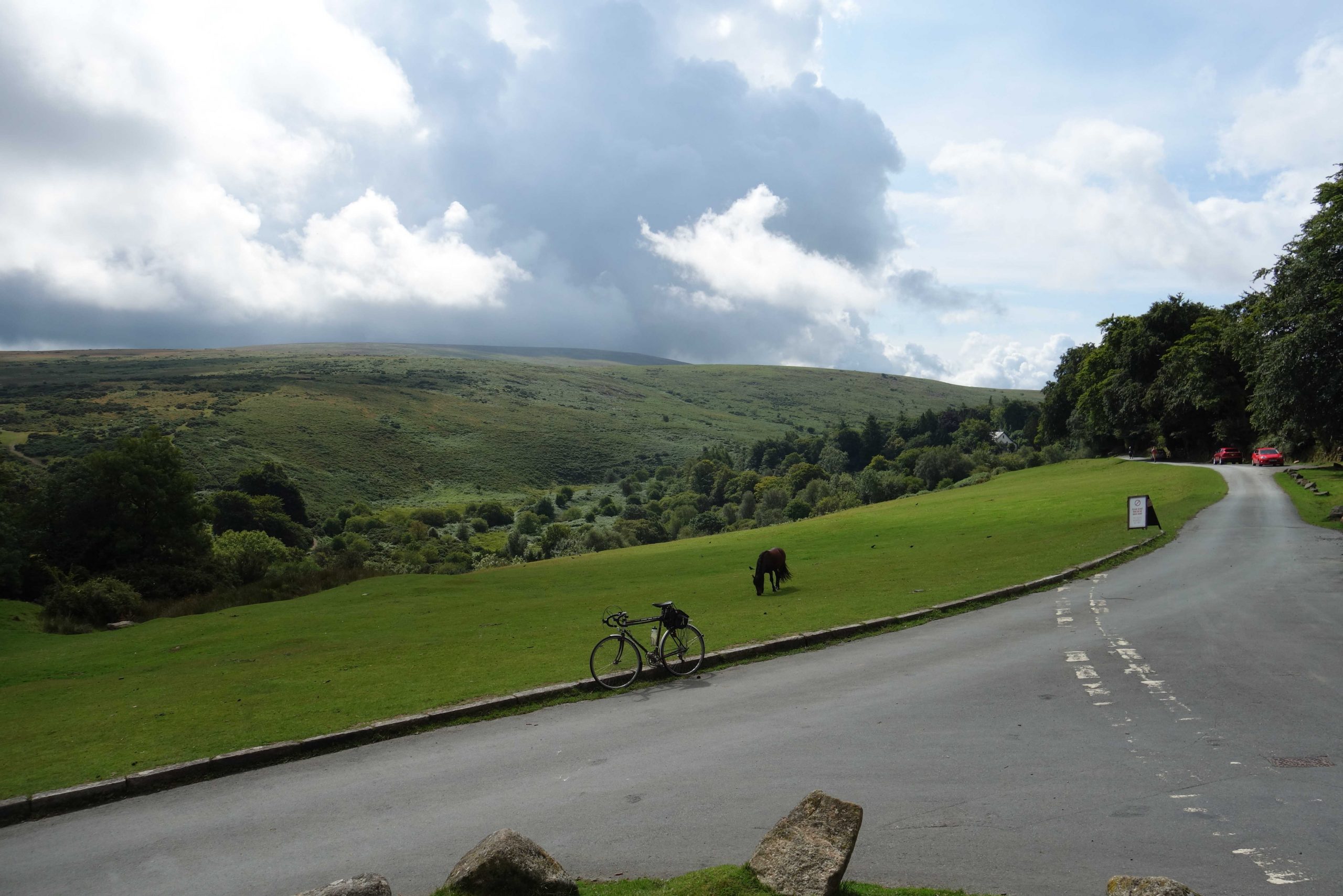
The scout had taken in the village on his turnpike exploration in 2022, but decided that he should start the river ride from here. It was not a great detour from the turnpike and involved little more climbing.


Sticklepath


South Tawton


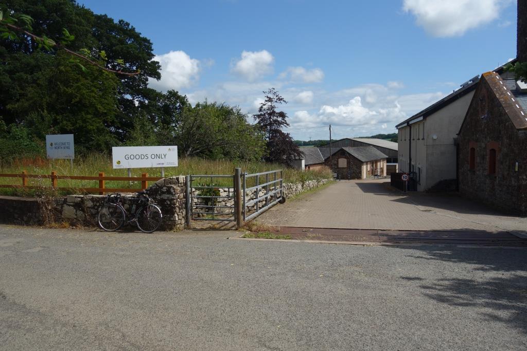
The scout came upon the North Wyke Research Station, which he had known about but never seen.
Pecketsford Bridge

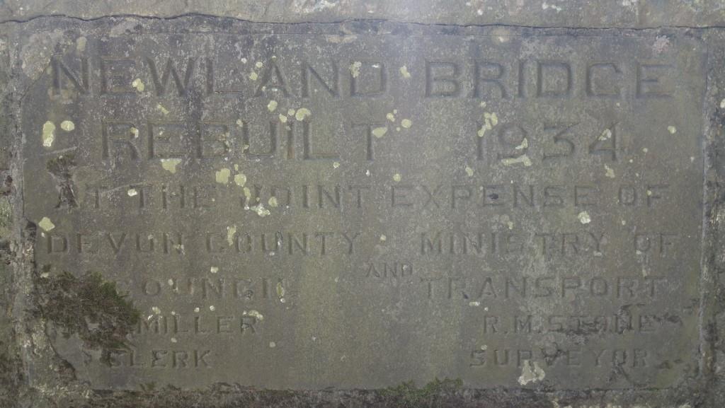
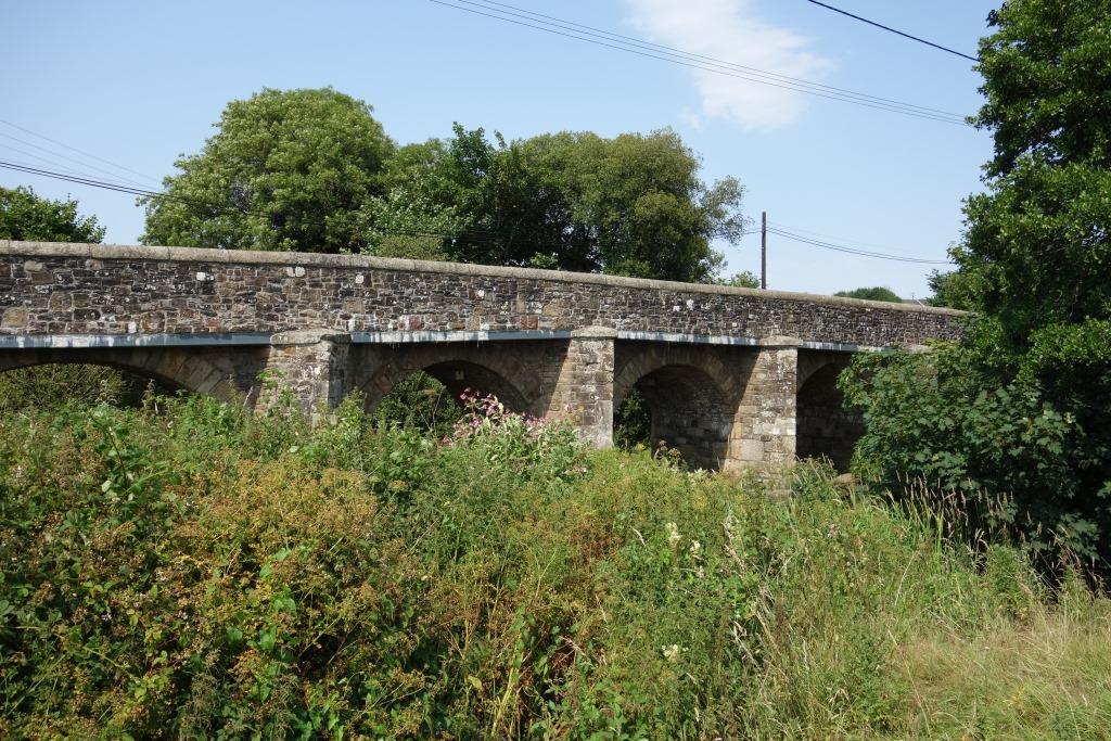
The scout joined the Okehampton to Copplestone turnpike at Greenslade Bridge and rode on to Newland.


North Tawton
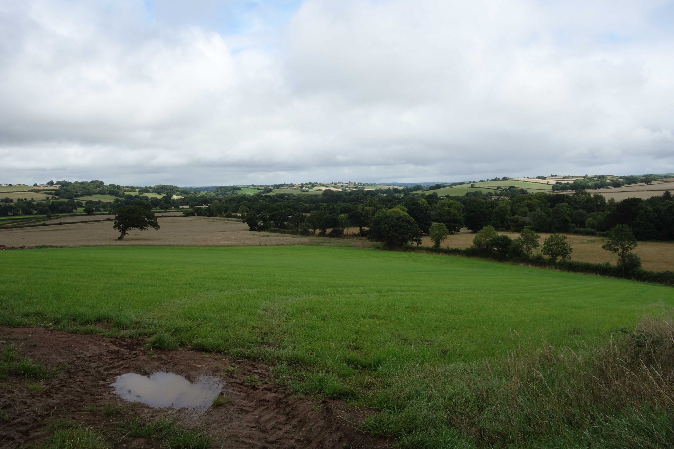
It had been a year and a day since the scout was last here and he remembered the heat of 2022. He had found a cool spot, where to eat his lunch, on a day when the south-east experienced another scorcher. This year, there was a brisk westerly and it was more comfortable for riding.


The scout had stopped at Taw Bridge in 2022. This year, he turned before reaching the bridge to follow Yeo Lane along the valley.
There were two more named clappers on the river: “Cann’s” and “Whetstone.”
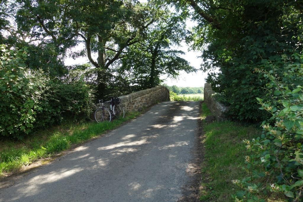
Yeo Bridge


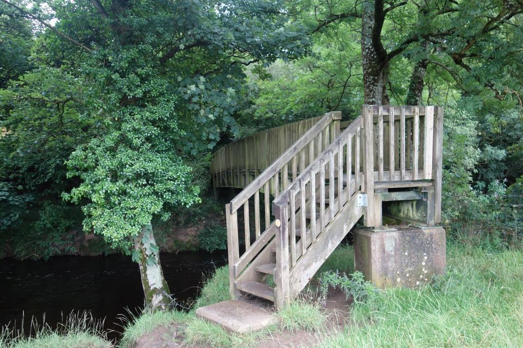
From Yeo Bridge the scout set off across the fields to Bailey’s Ford, where Yeo Lane meets the Taw. There is now a footbridge here.


Bondleigh


Bondleigh Bridge


Taw Bridge


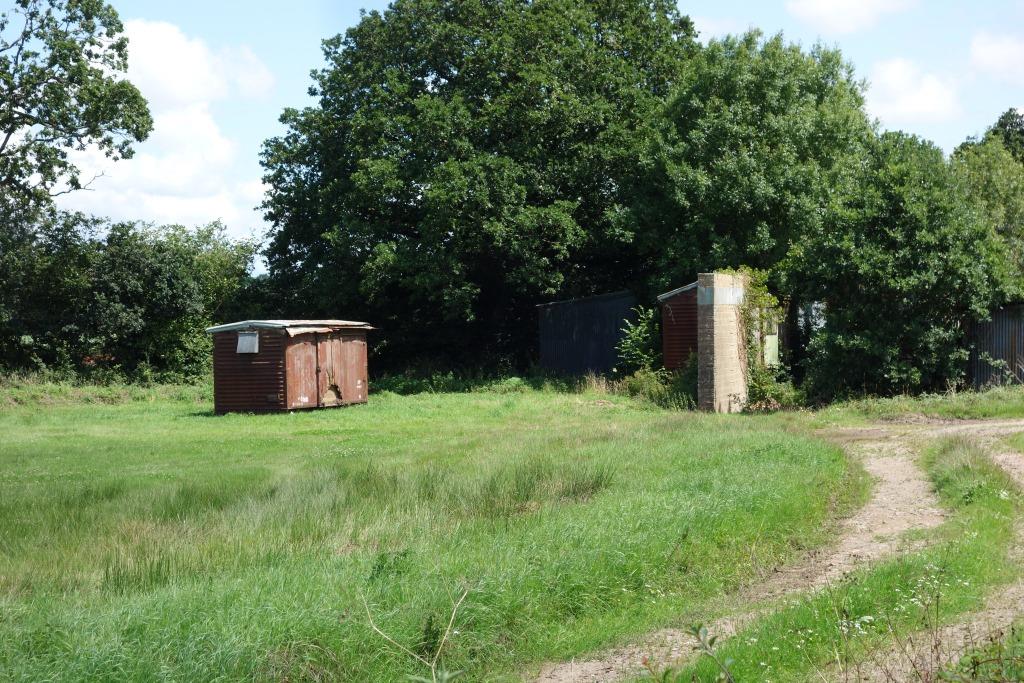
The two elevated van bodies the scout had seen last time had gone. Three grounded bodies, on their underframes, remain, destined, it is thought, for conversion into “glamping” accommodation. Scrapping them would be kinder.


The tail wind helped the scout along the turnpike, whence he climbed the hill to Coldridge.


From Coldridge, the scout dropped to Park Mill.


Then it was up the hill to the Hawkridge dairy, where the bridleway from Chenson joins the road.
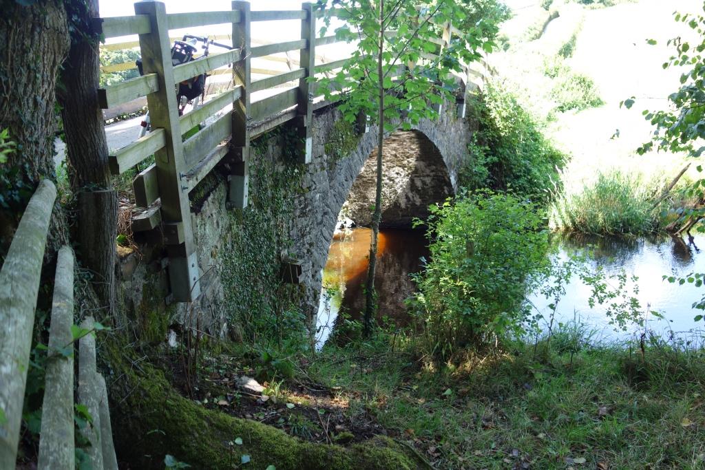
Hawkridge Bridge


A short climb to Nymet Rowland was followed by the descent to the valley again at Nymet Bridge, which spans the North Devon Railway and the River Yeo.
, 191 miles from Waterloo.")


Nymet Bridge is just off the North Devon turnpike, which the scout joined. As he rode towards Eggesford, he hoped that he would not be passed by a train.
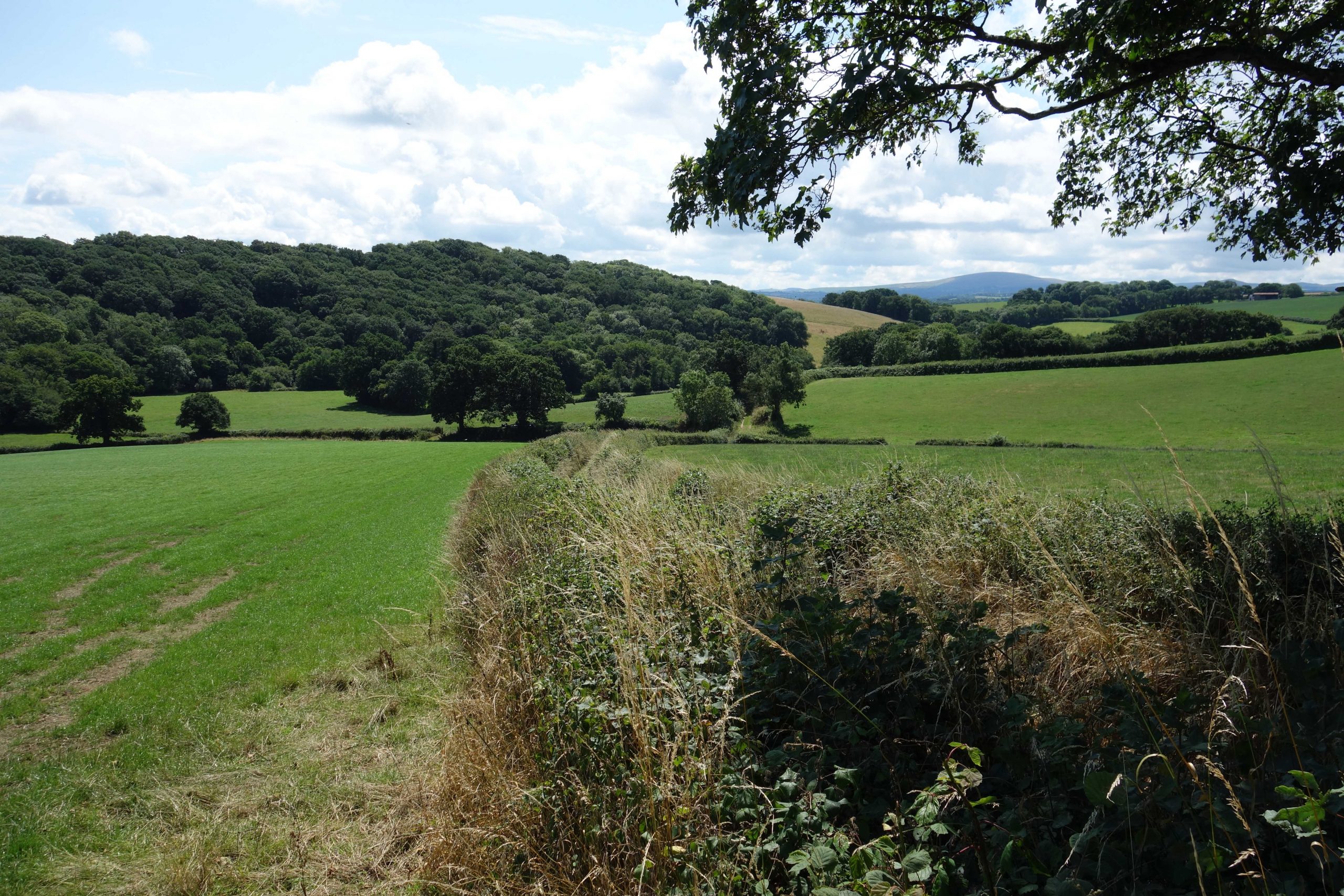
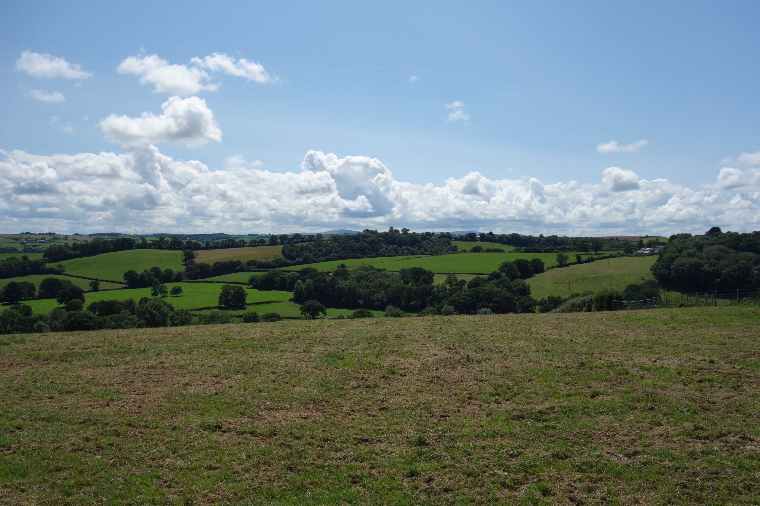
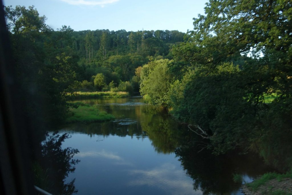
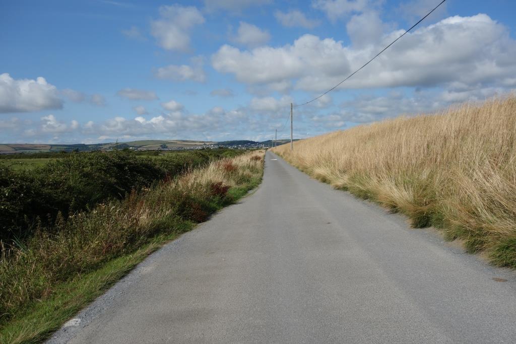
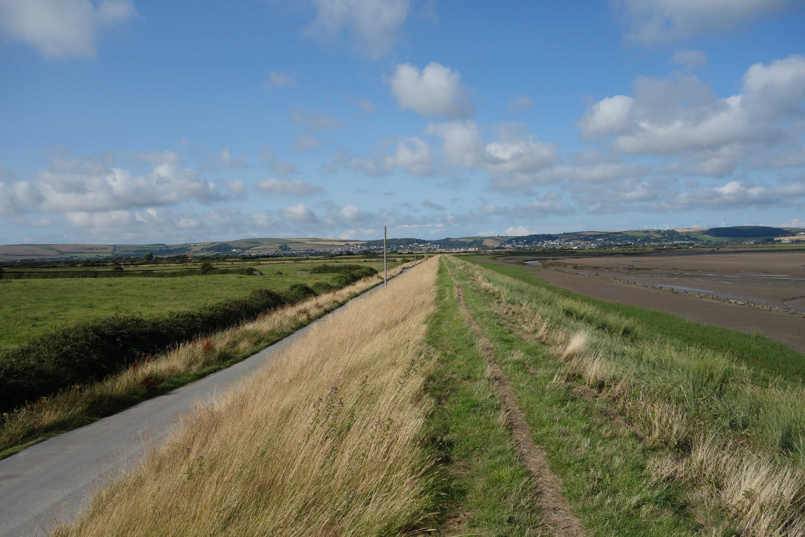
This is what he had always thought of as the Taw Valley, where river, turnpike and railway are never far apart all the way to Barnstaple.
At Eggesford, there was as it happened sufficient time before the next train to go to the farm shop in the former goods yard and buy some grub. The scout picked up what his eye told him was a coronation chicken pie, which he paired with an ice-cold ginger beer from Cornwall.
He sat on a platform bench and set about demolishing the pie. It seemed rather to lack chicken and so the scout had a closer look at the filling and then picked up the box. He had bought a vegan coronation chickpea from Clive’s Pies. The opinionated Clive makes it very clear on his packaging what he thinks about meat-eating. The pie was not bad but it will be the only one that the scout buys.
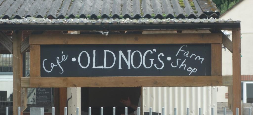
The following day, the scout called at Hardy’s Cycles in Exeter to collect a new front wheel. Rob, the owner, had recently become famed as an otter spotter after having caught one on camera at the Mill on the Exe pub. The scout told him that he had followed a Tarka river the day before and Rob said that he knew the lady who ran the café at Eggesford. She also owned the farm shop, he added, when the scout said what he had done. Rob had to tell the scout that Old Nog’s Café was named after a character in Williamson’s classic.
It has been a very long time since the scout read Tarka. He has in more recent years immersed himself in the great man’s war writings.
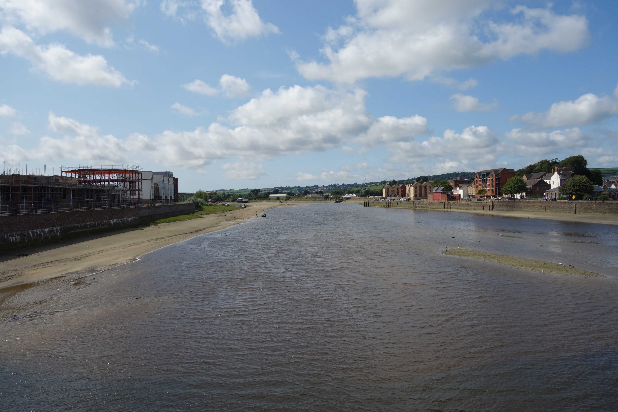
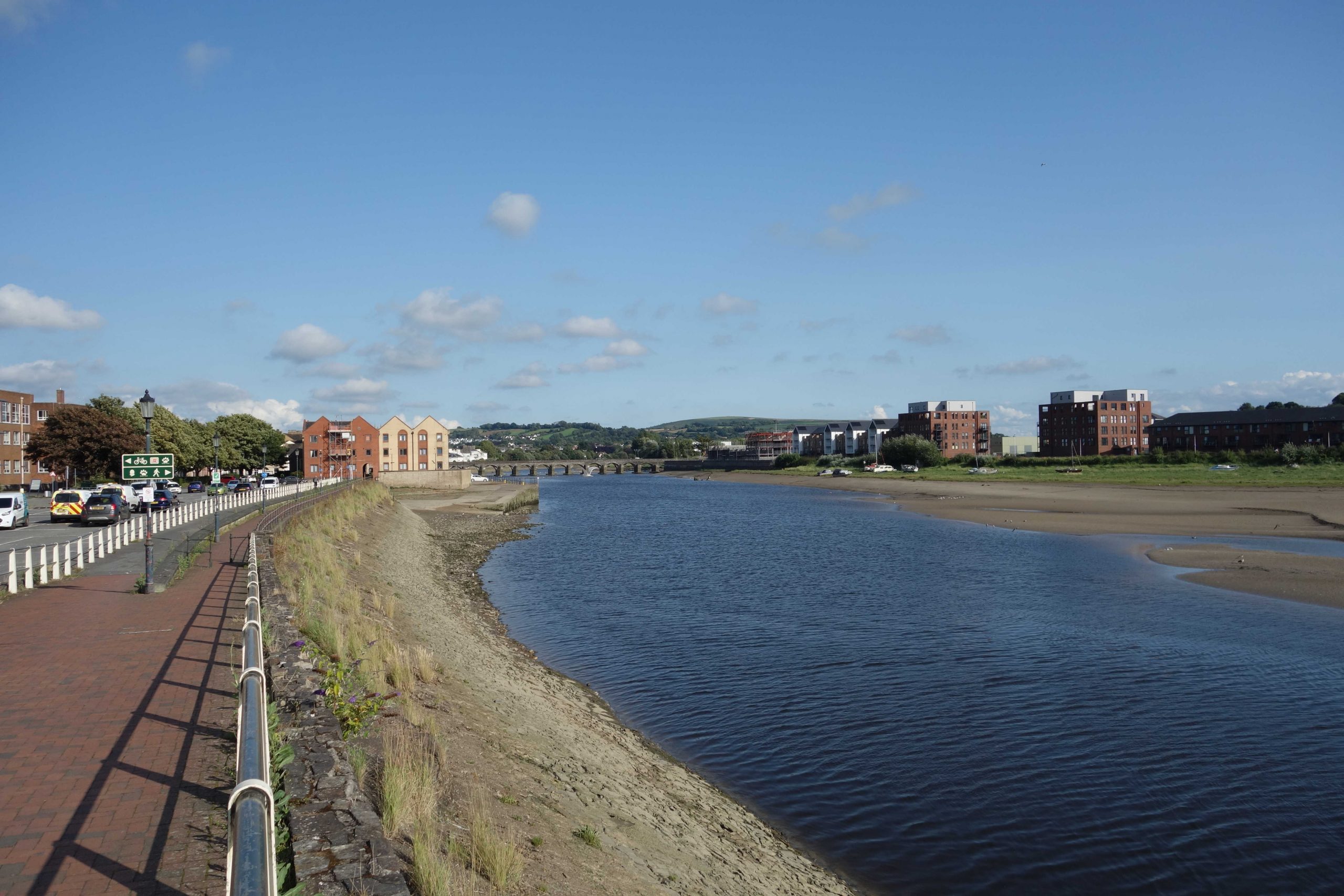
Barnstaple
The train was 14 late departing and 15 late arriving at the junction. The scout watched the dispersal of arriving passengers as he normally does and then rode off towards the sea.
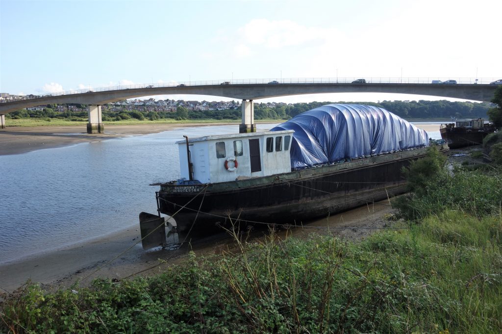
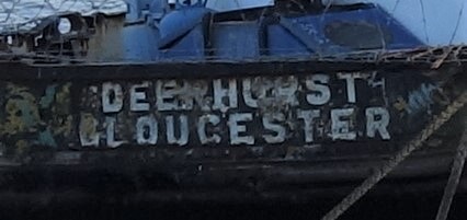
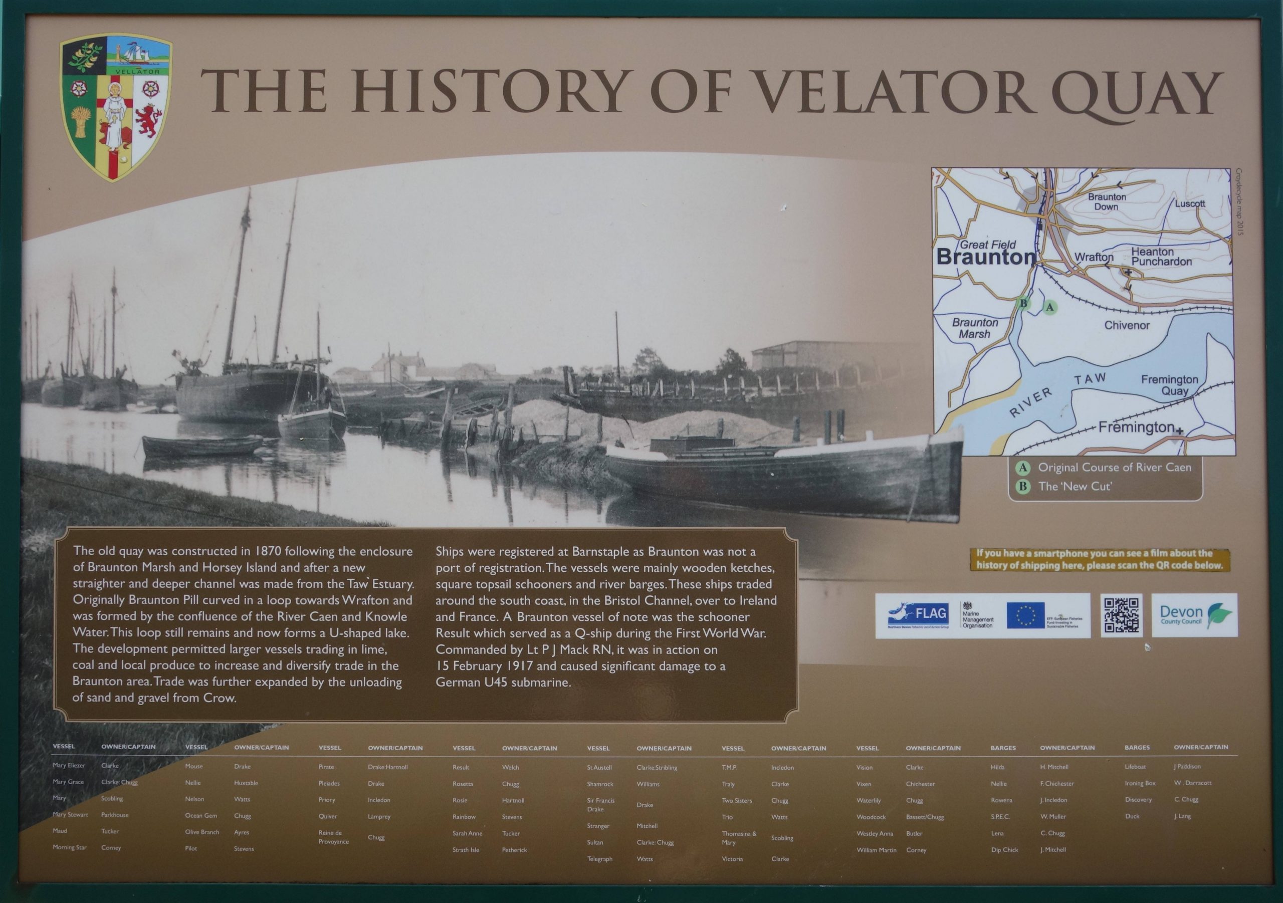
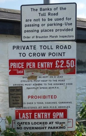
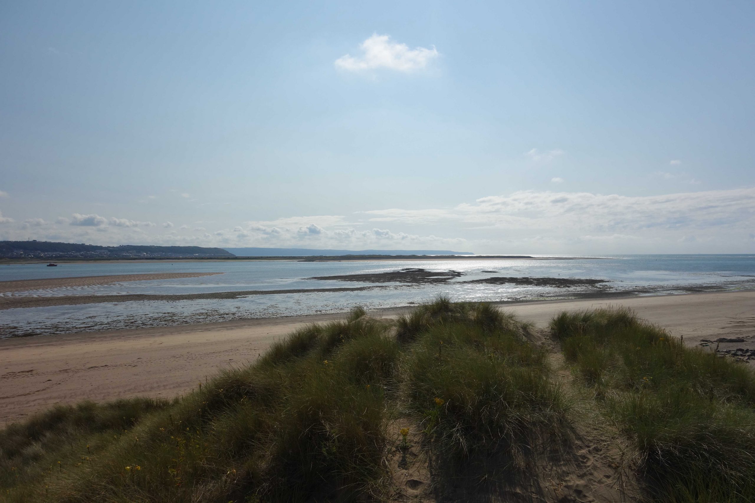
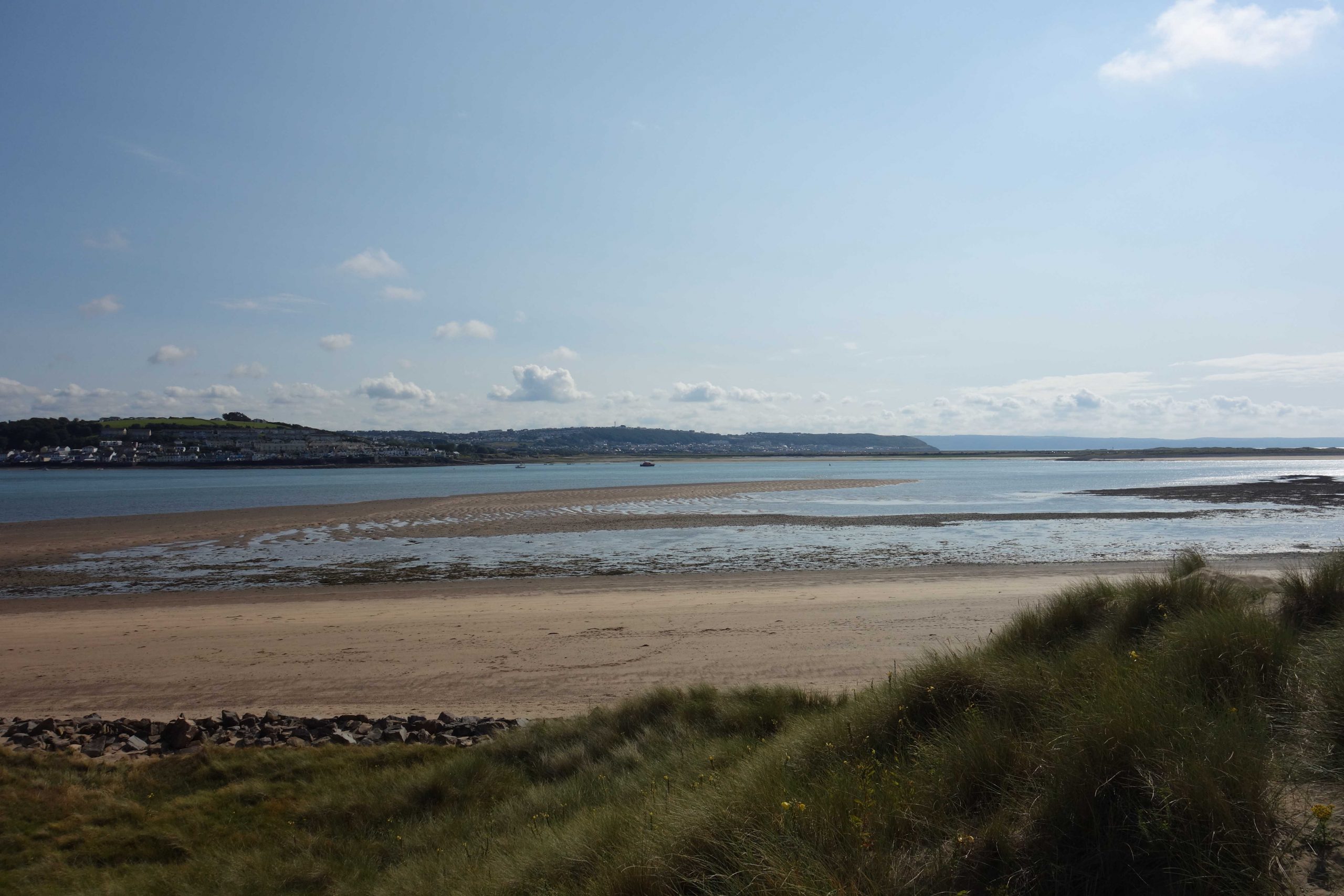
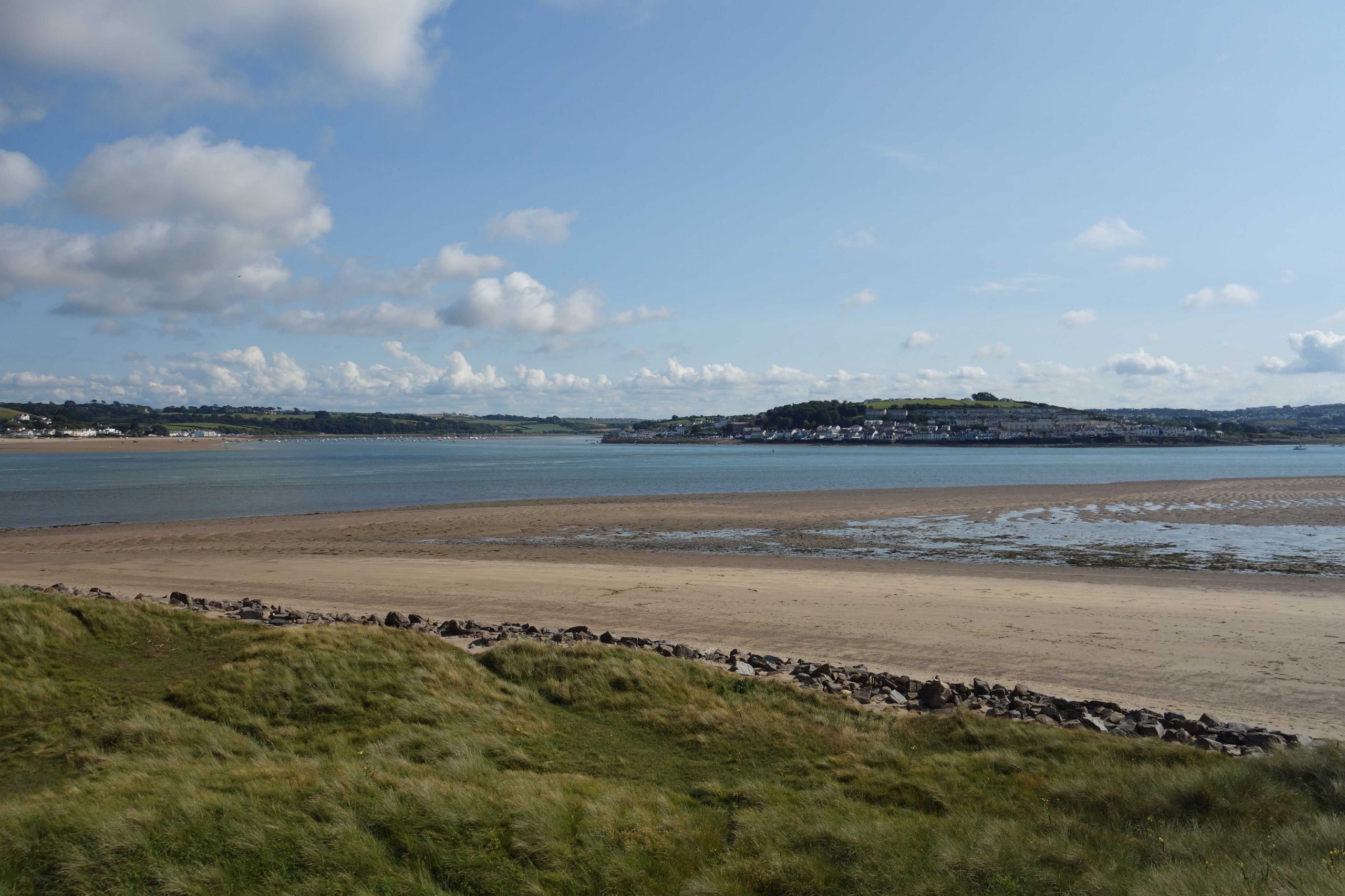
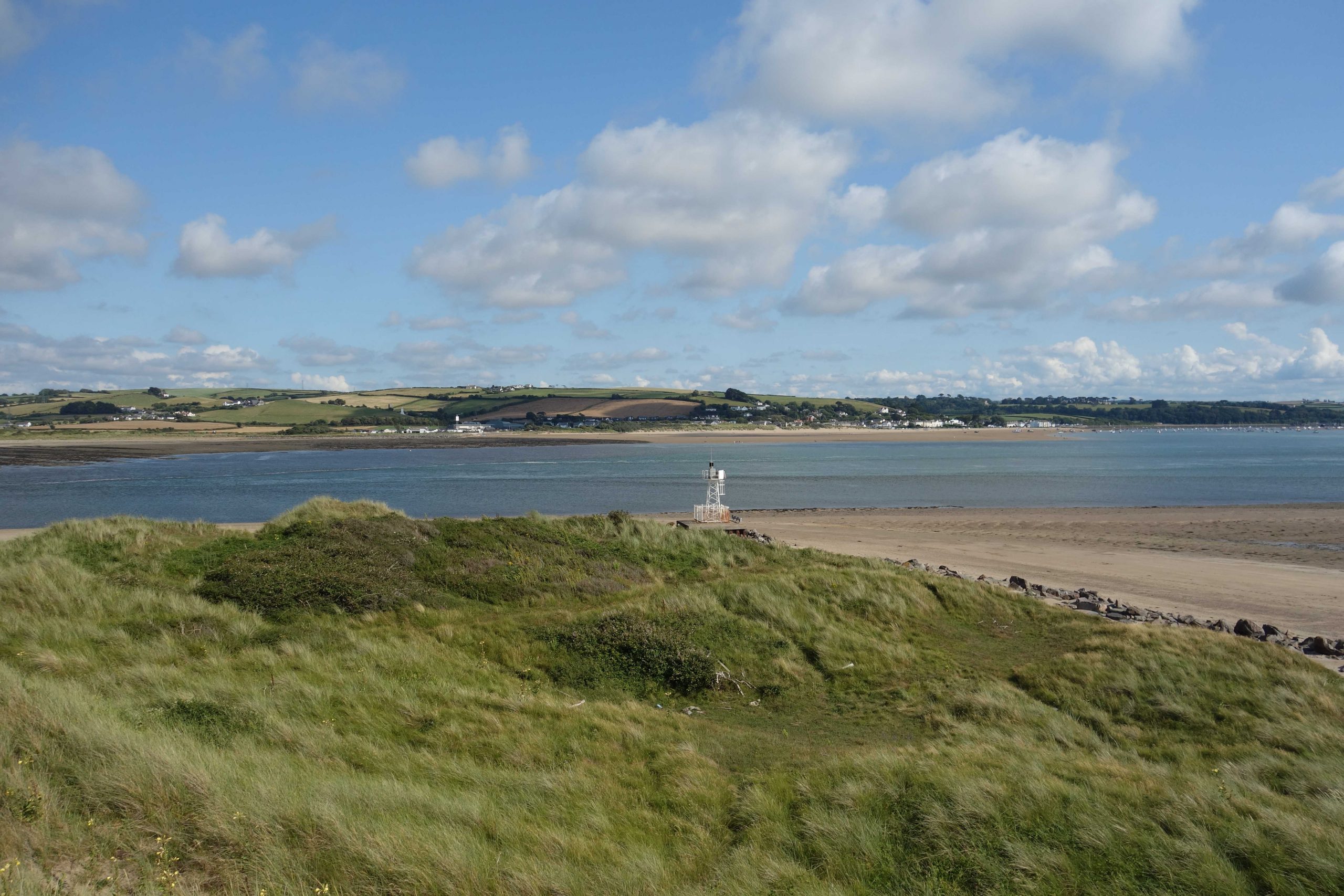
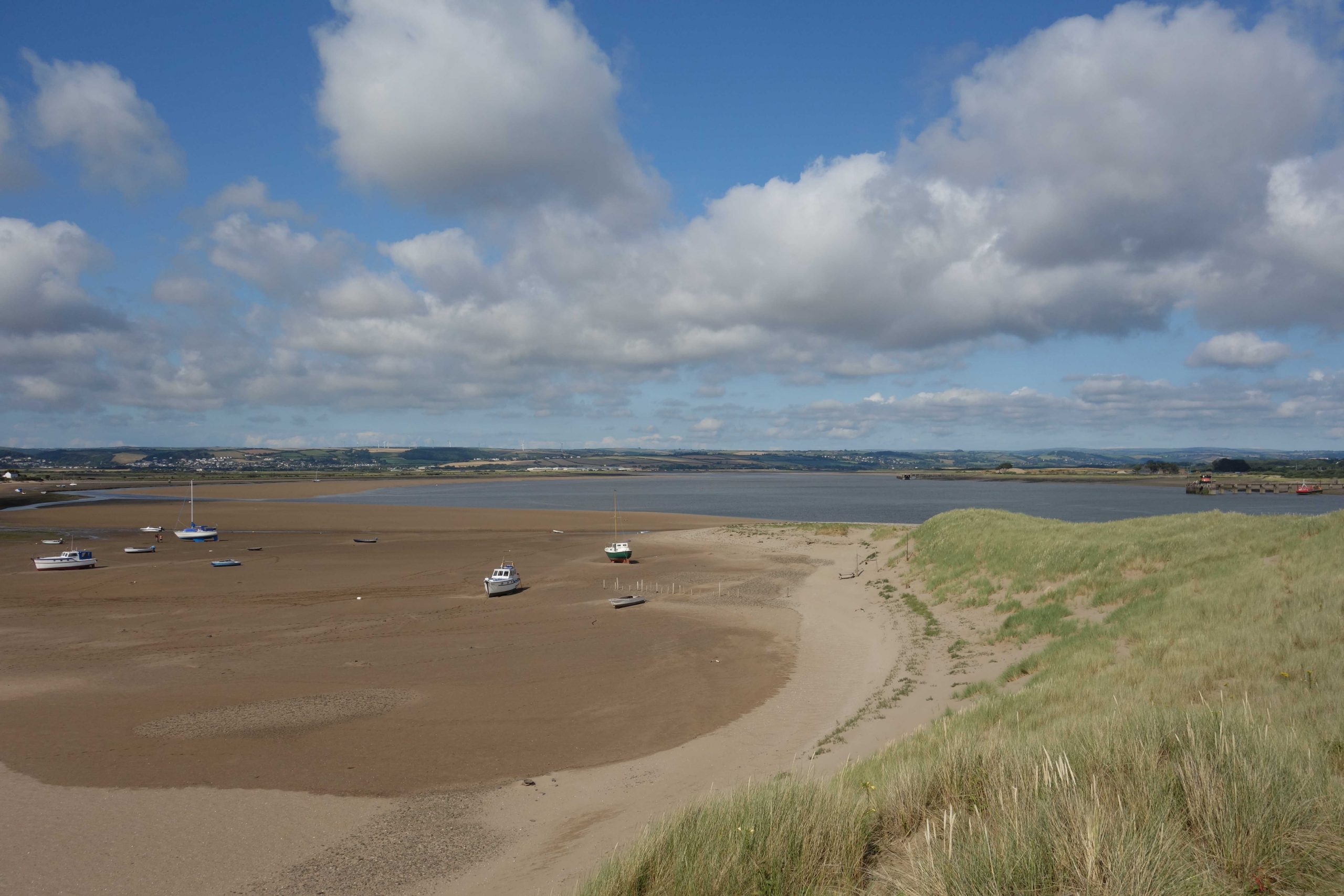
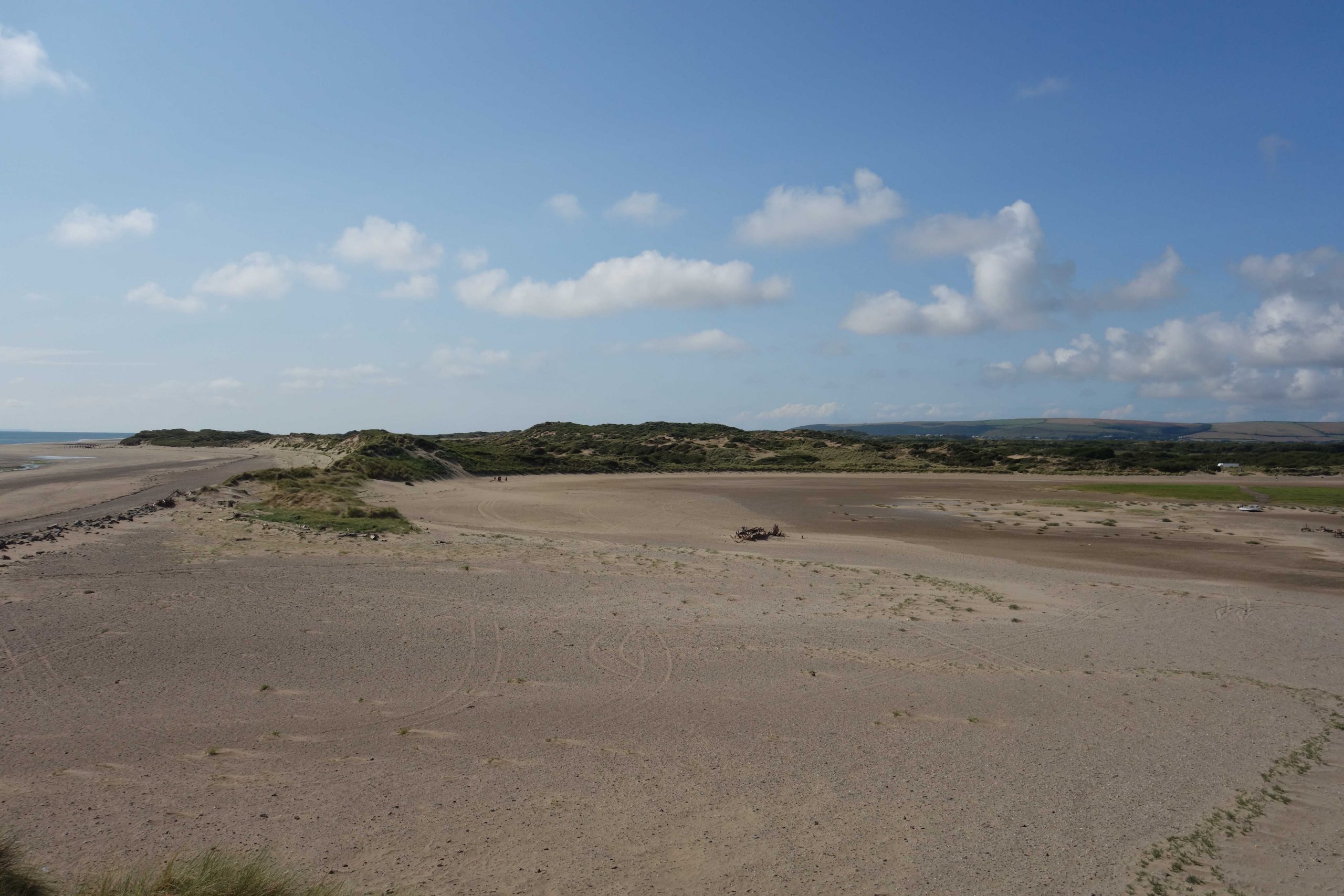
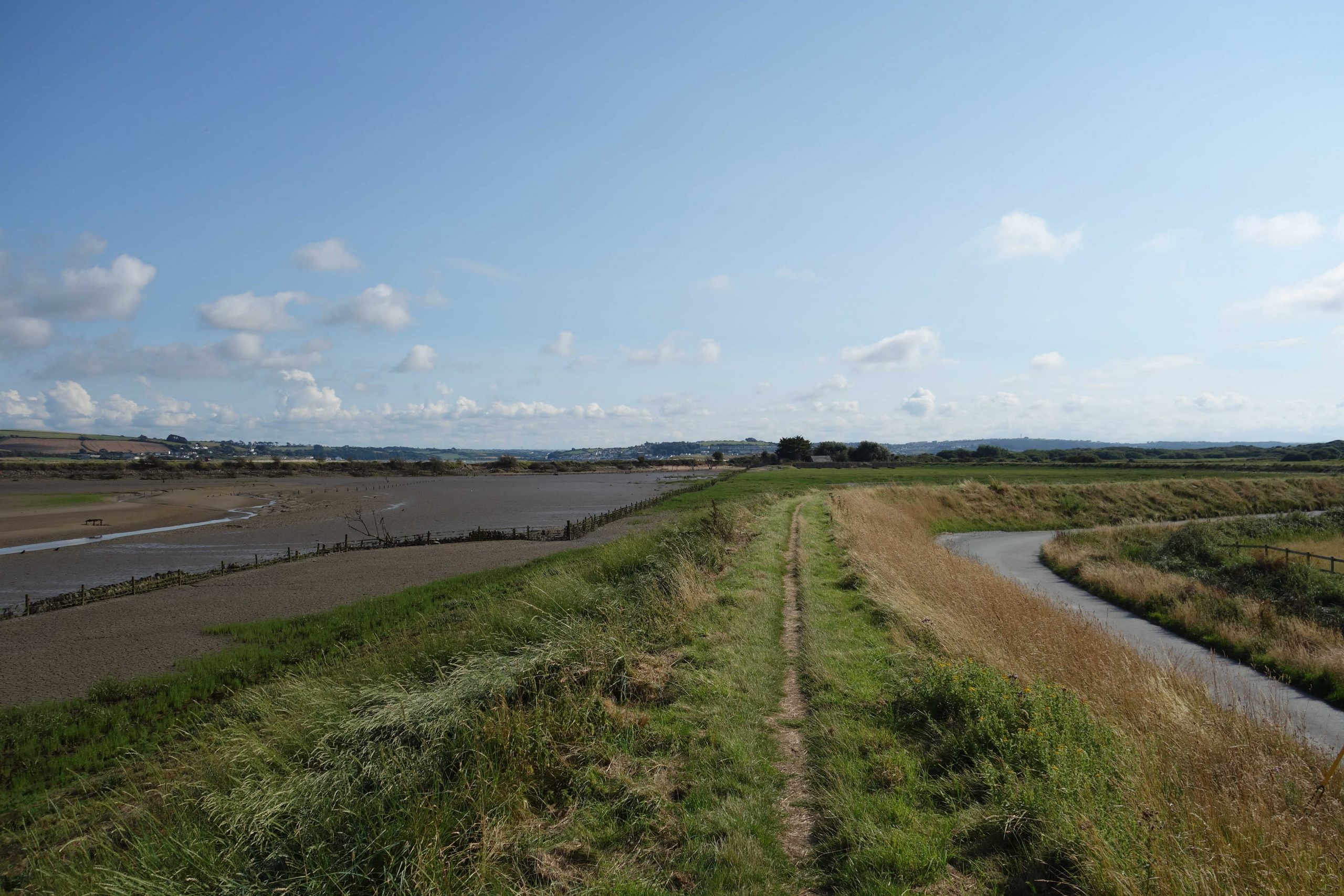
Velator Quay
“Velator was opened in 1870 and soon became a thriving, bustling, noisy port for Braunton – a vastly different place to that which we see today. Ketches from south Wales and Bristol Channel ports brought coal, limestone, salt, bricks, flour and fertiliser to Velator, and returned with clay, potatoes, apples and cider. In years gone by, sometimes as many as a hundred vessels would have been moored here at one time.”
Taken from “The Best of Braunton Walk” by Paul Berry, a description and history of the area which is well worth reading.


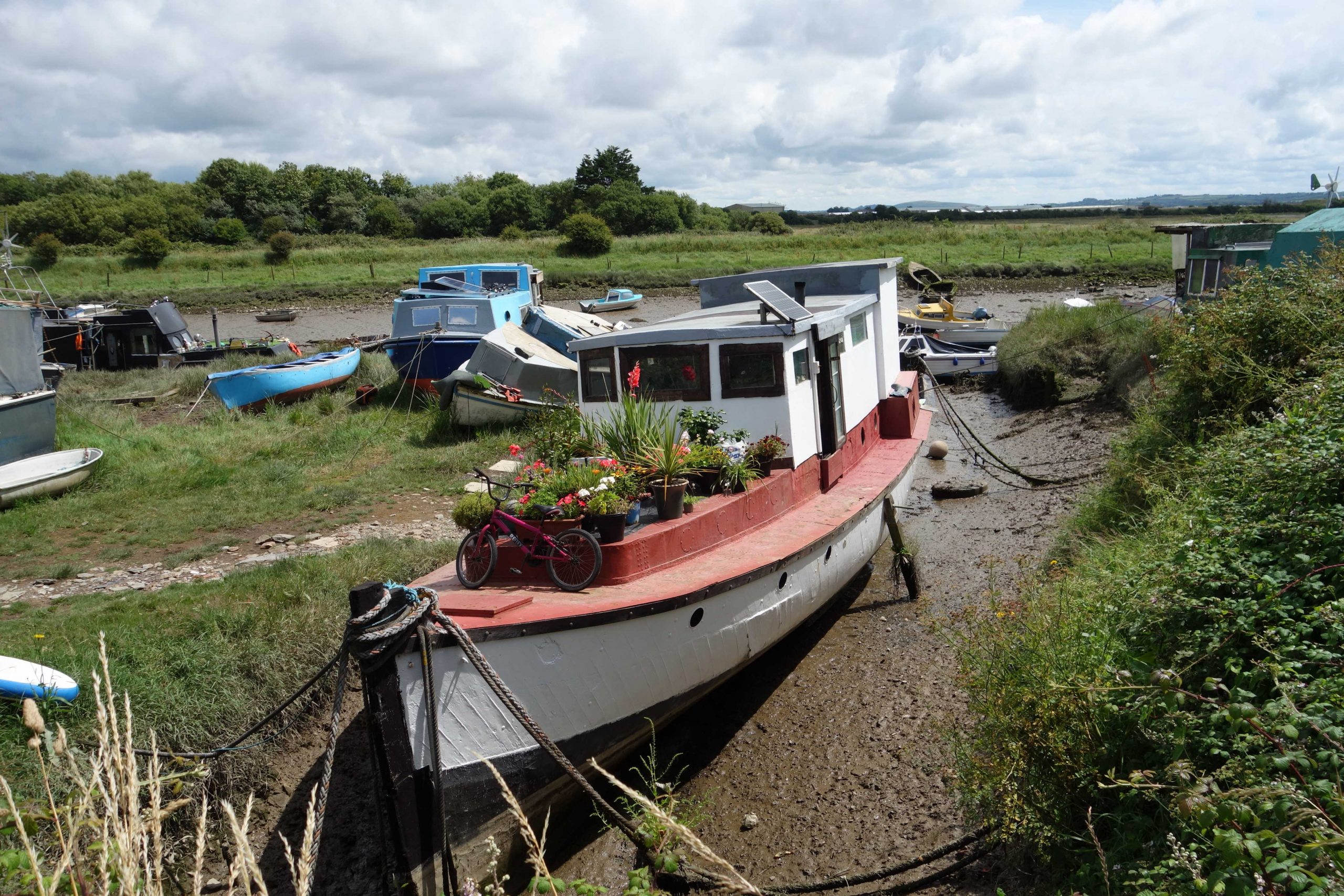
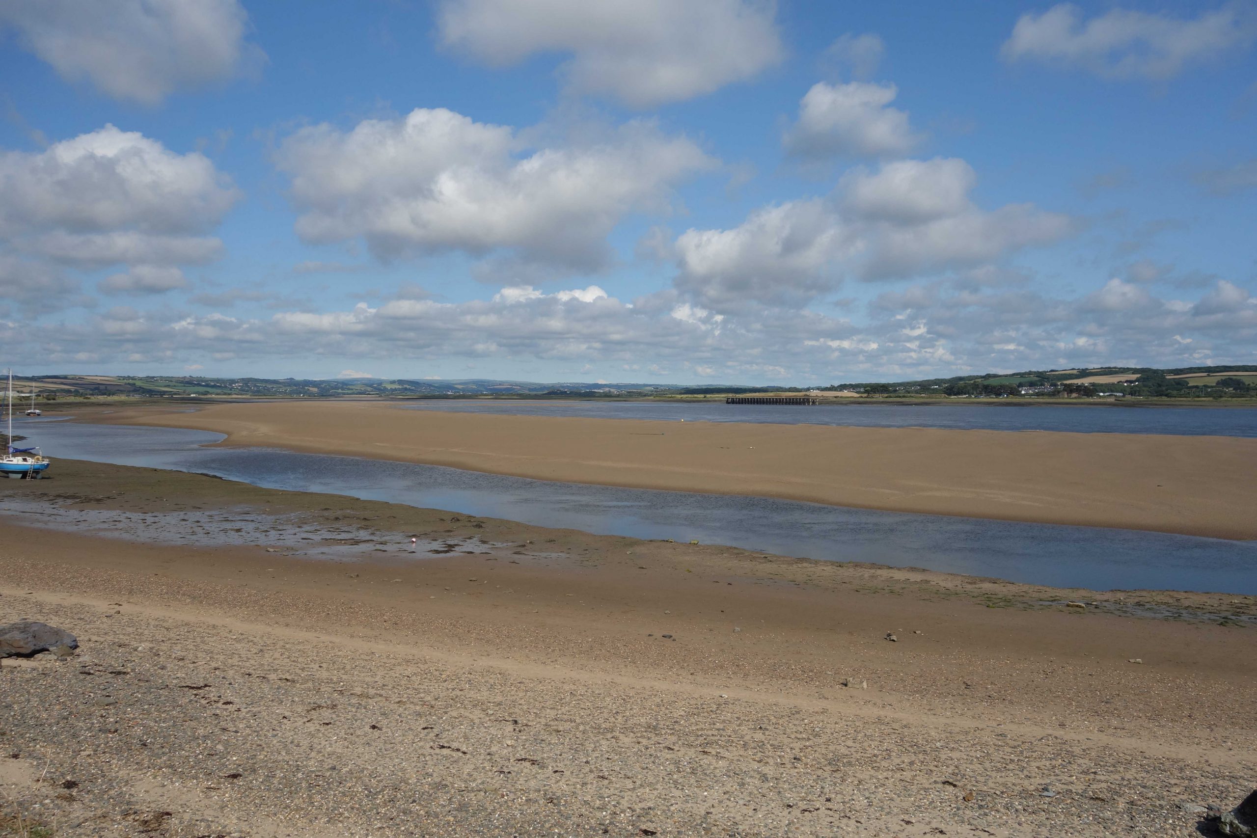
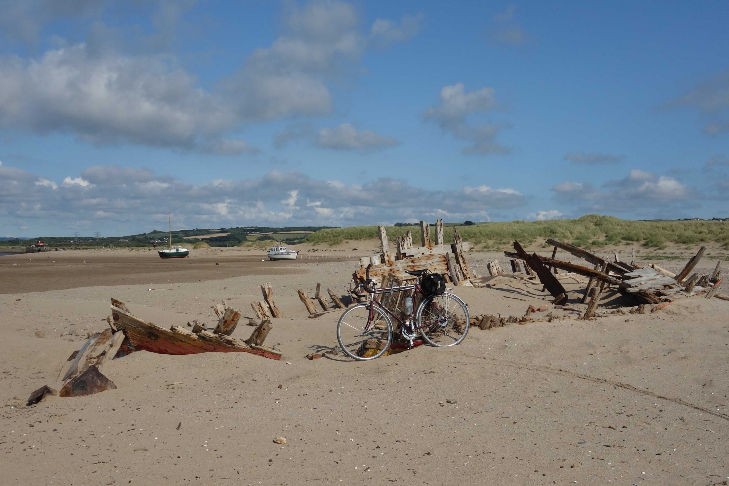
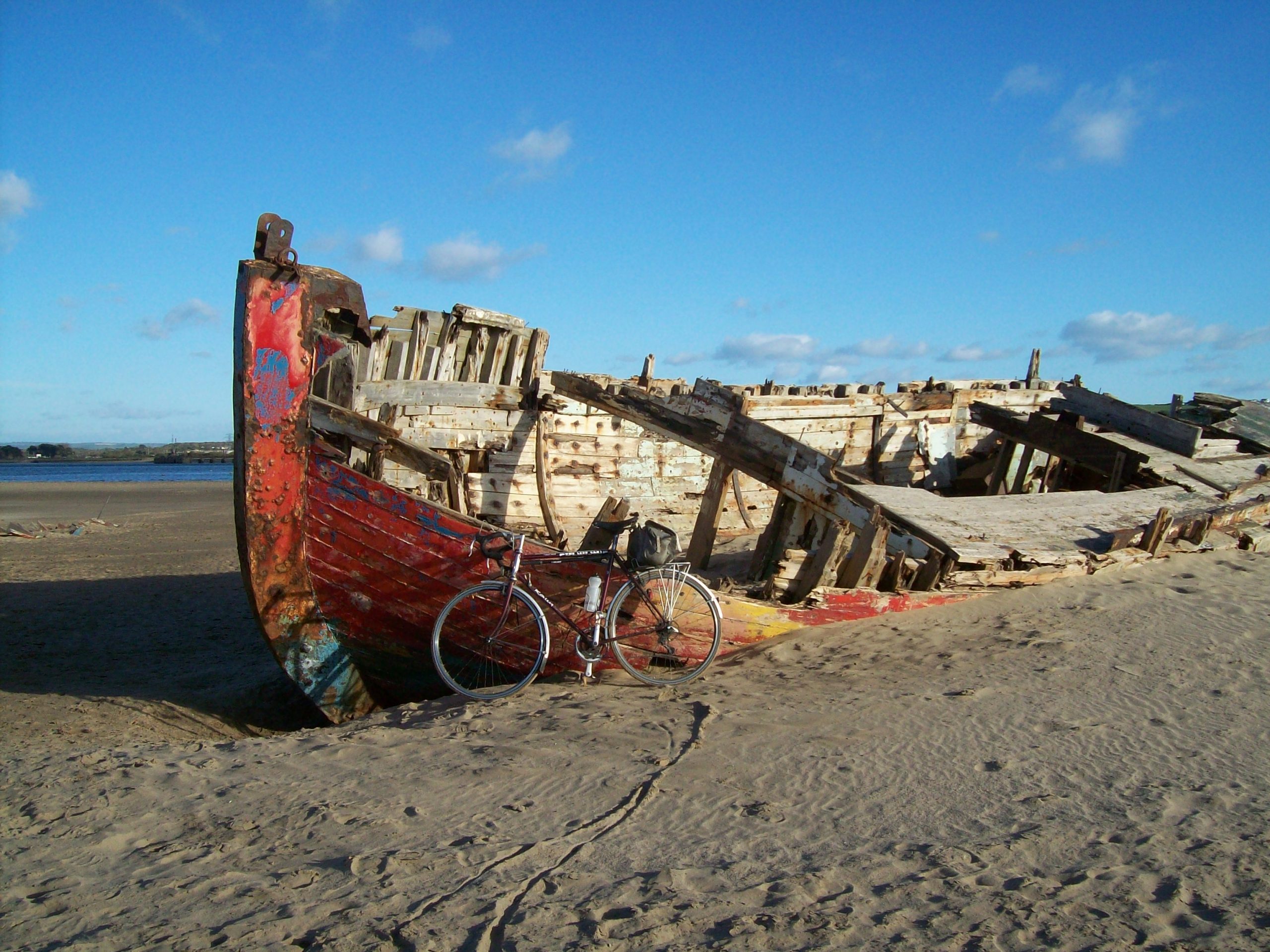


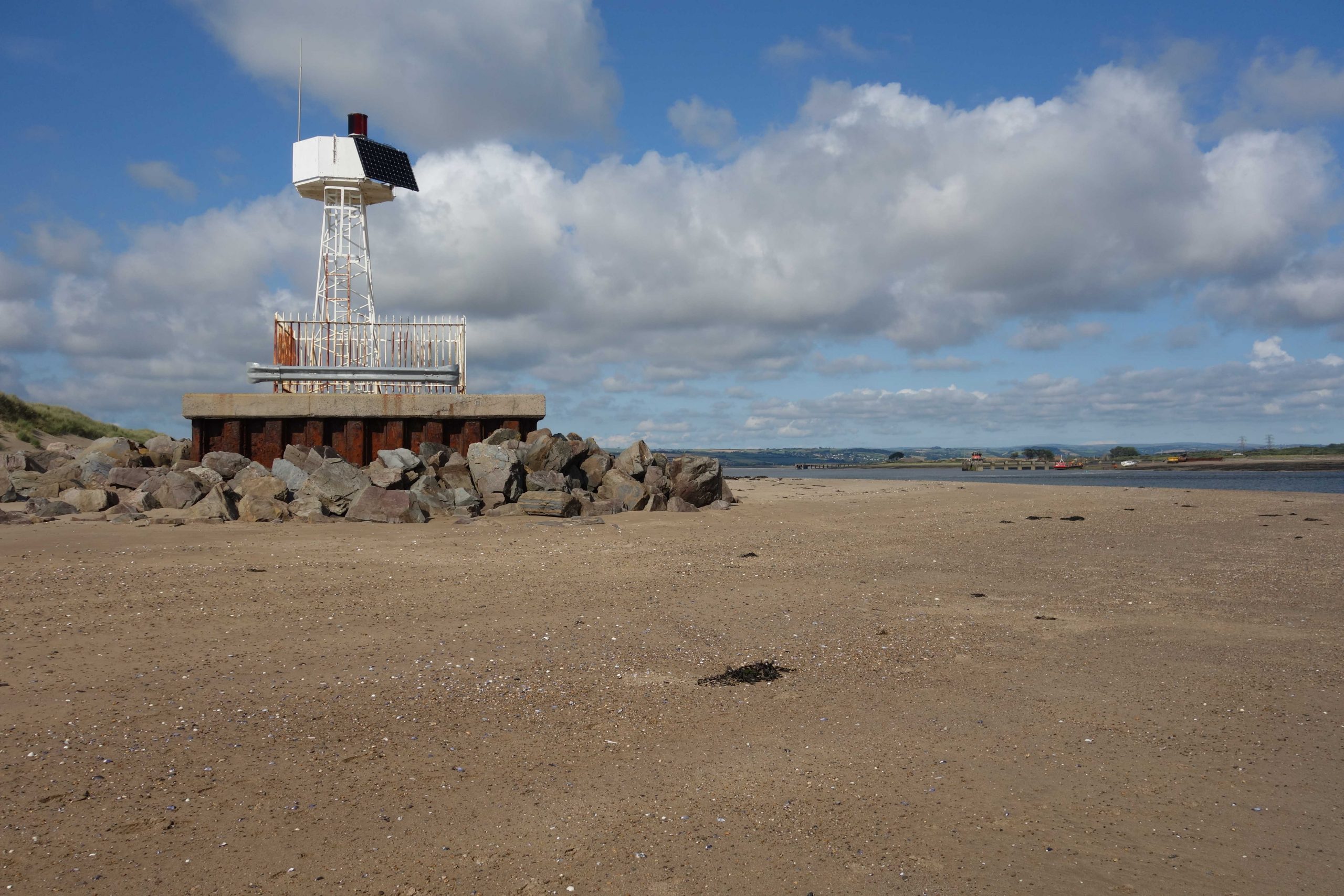
From the island of sand, the scout took photographs in all directions.
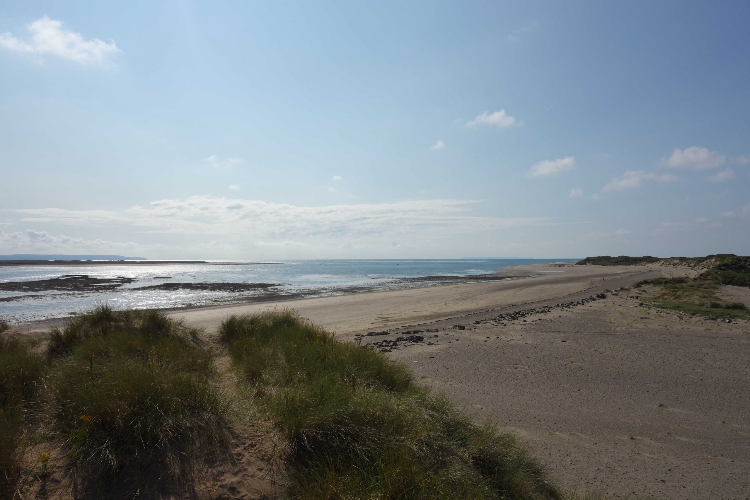
With the aid of the westerly, the scout was soon back in Barnstaple, where he caught the 1838, which departed 13 late.
The train was only four late arriving at St. David’s which shows how generous is the 68-minute allowance.
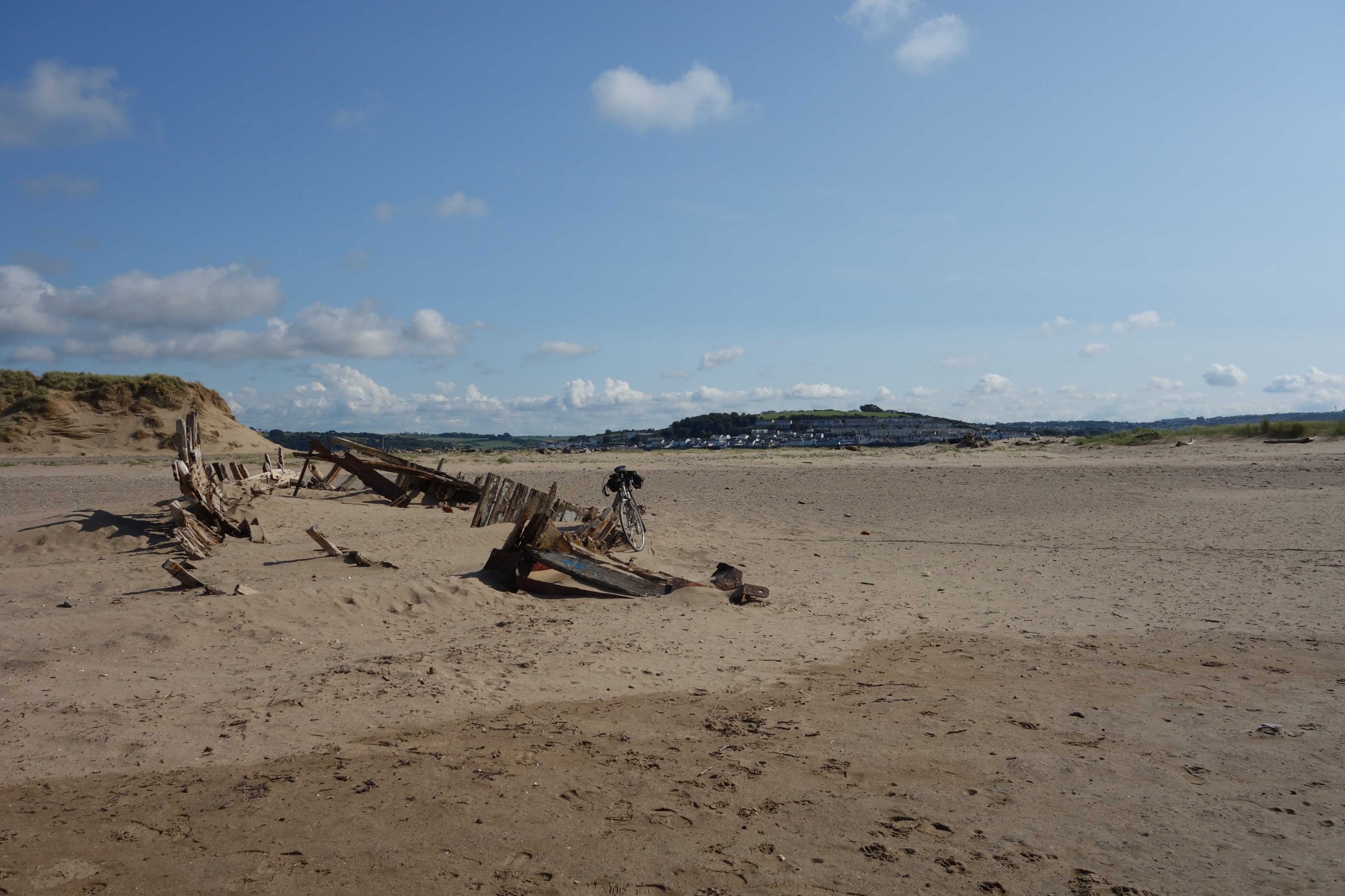
The scout had covered 50 miles on two wheels when he returned to the utilicon.
In the office the following day, the junior clerk followed the river from Belstone on the late-19th Century 25 in. Ordnance Survey and listed the watermills and water-powered factories marked. There were 17: Cleave Mill (Corn); Finch Foundry; Taw Green Mill; Pecketsford Corn Mill (later Rowden Mill); Newland Corn Mill; North Tawton Woollen Factory; Bondleigh Mill (Corn); Taw Mills (Corn); Brushford Mill (Corn); Park Mill; Nymet Corn Mill; Eggesford Saw Mill; Chawleigh Week Mill; Rashleigh Mills (Corn); Colleton Mill (Corn); Brightley Mill (Corn); and Umberleigh Mill (Corn).
Are any of the leats today used to generate electricity? On the River Teign, as far as is known, there are small hydroelectric stations at Chagford, Castle Drogo, Sowton and Ashton.