
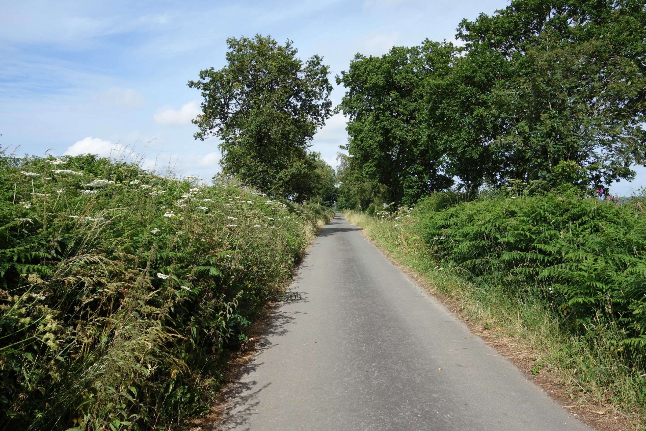
The line was first scouted in 1974, while it was still open, and has often been visited since in places. It seemed about time for a full refresher of its 7 miles 29 chains.
As he passed St. David’s, facing a moderate north-westerly, the scout thought about catching a train to Sampford Peverell but chose to ride to Tiverton Junction.
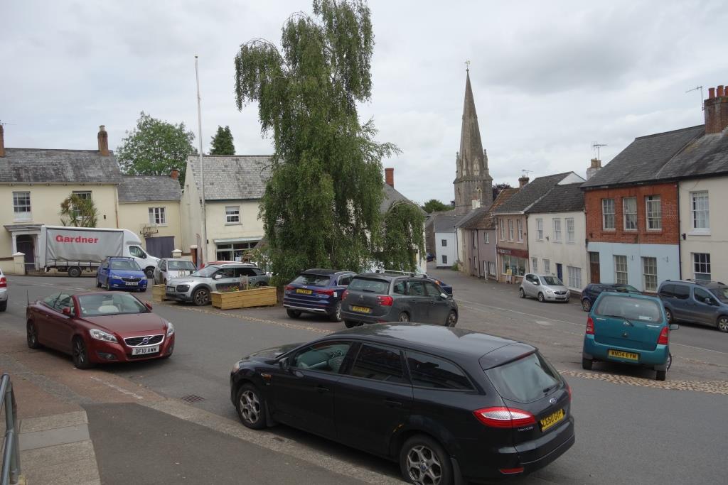
At right can be seen the Railway Hotel, later demolished to make way for the motorway.
The Bristol & Exeter main line descends into the Culm Valley beyond Tiverton Junction and follows it as far as Rewe, where it burrows across to the Exe Valley.
The Culm Valley Light Railway, opened in 1876, drops from Willand Moor and follows the river to within about five miles of its source; as the crow flies, not as the water flows.
The passenger service ceased in 1963 and the line was closed in 1975, after the loss of the milk traffic from Hemyock.
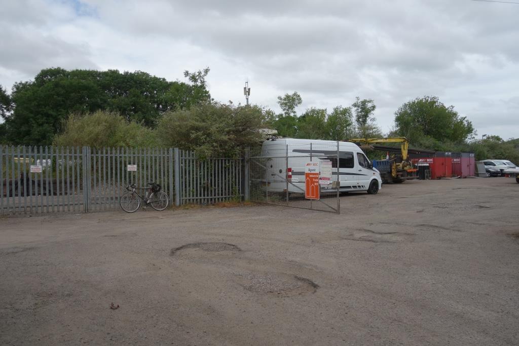
Myth has it that the motorway bridge over the Culm Valley was built and buried, or that it was provided for by the height of the embankment. In fact, the embankment’s height was determined by Station Road Bridge, about 10 chains to the south.
The scribe is very fortunate in having a good friend not a mile away from the station who knows the truth. Noel Squibb was working for Tarmac Construction in 1975. At the age of 24, he was the engineer in charge of constructing Station Road Bridge. The railway bridge was the responsibility of another less competent Noel.
“All the reinforcement steel for the foundations was delivered to site and excavation was underway to get the general shape required for the rail crossing under the future embankment that was required to get the M5 carriageway over Station Road.
“Then suddenly the bridge was cancelled. I had mixed views at the time as it got rid of an annoying situation with two Noels on bridges within 100m of each other and gave us a useful pile of rebar we could pillage to our hearts’ content in order to progress Station Road Bridge.
“But, on the other hand, the rail link would be permanently lost as the cost of a retro bridge under the M5 would kill any dreams for a future reconstruction.
“I do not know how the decision to cancel the bridge was made but it would not have saved anything like the tender cost, as cancellation always has costs, so perhaps a 50% saving on what would have been almost lost in the overall Wellington to Collumpton contract costs.
“We were doing those roads for around £1mill per mile back then and could knock out a 10 mile length in under two years.”
9th July: The scout returned a week later, this time catching the train to Sampford Peverell. He returned to Tiverton Junction and then went along the branch again as far as Culmstock.


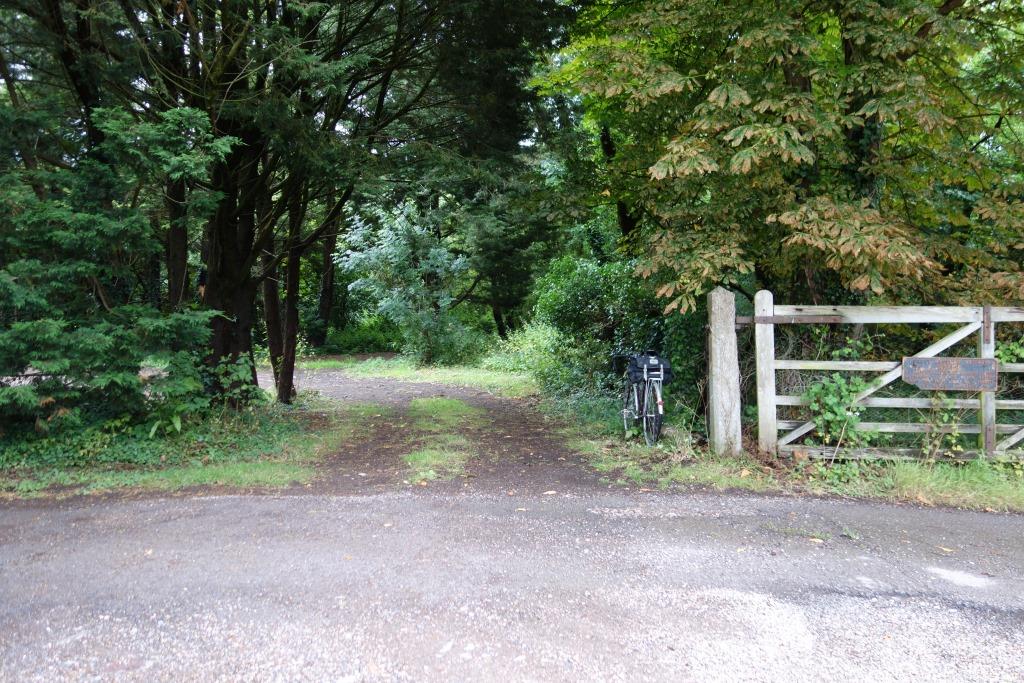
From the motorway embankment, Crossways Cutting has been obliterated. A public footpath remains in the same place where it crossed the line.


The parapets of two overbridges survive on Willand Moor at Crossways; the first over the road from Tiverton Junction and the second, the old A38.


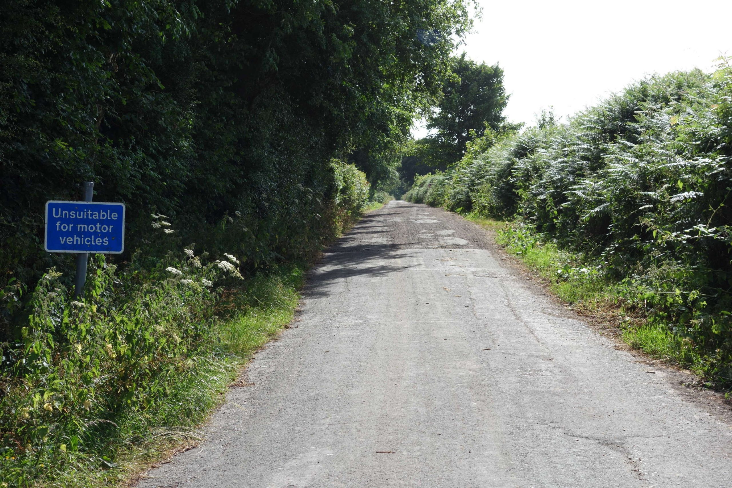
This was a light railway before the term was defined by legislation. One of its characteristics was the lack of overbridges. There were only three and a fourth was never built. Crossways Cutting was the only significant earthwork. There was a 15 m.p.h. speed restriction and the maximum axleweight permissible was 14 tons.
A path continues from the bridge along the course of the line.


A glimpse of the bridge above is had in the splendid film, “Images of the Culm Valley Light Railway.”
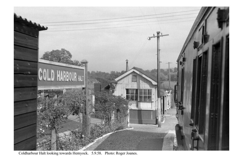
Cold Harbour Halt


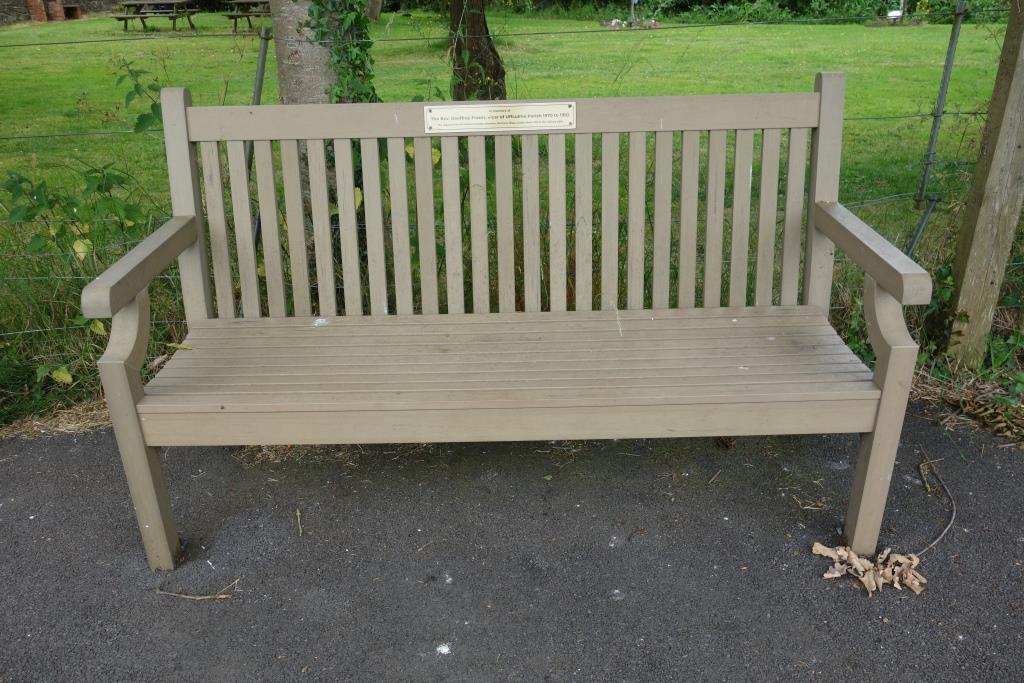
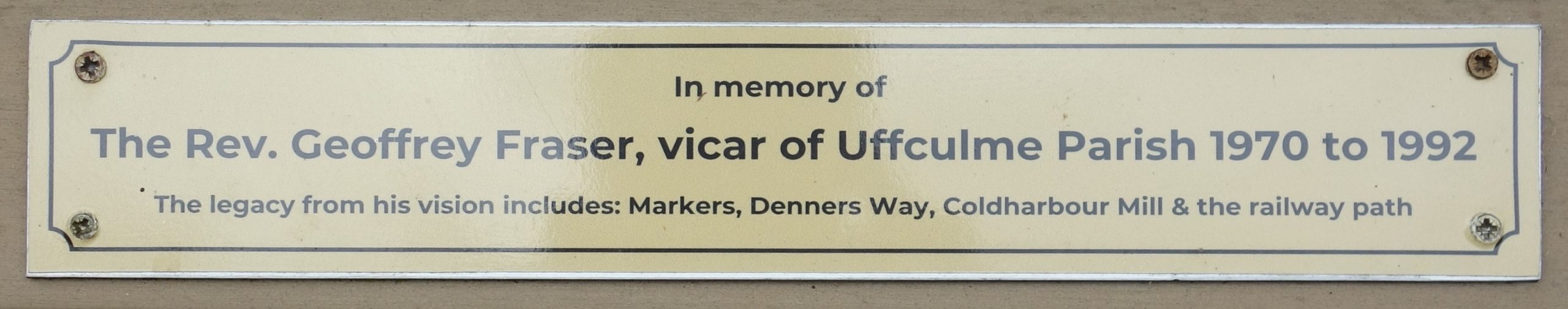
Just beyond the crossing is one of many benches with a dedication. This one has some significance to Christow because it was Revd. Fraser who started the Sheldon Centre and who sold land to the railway.
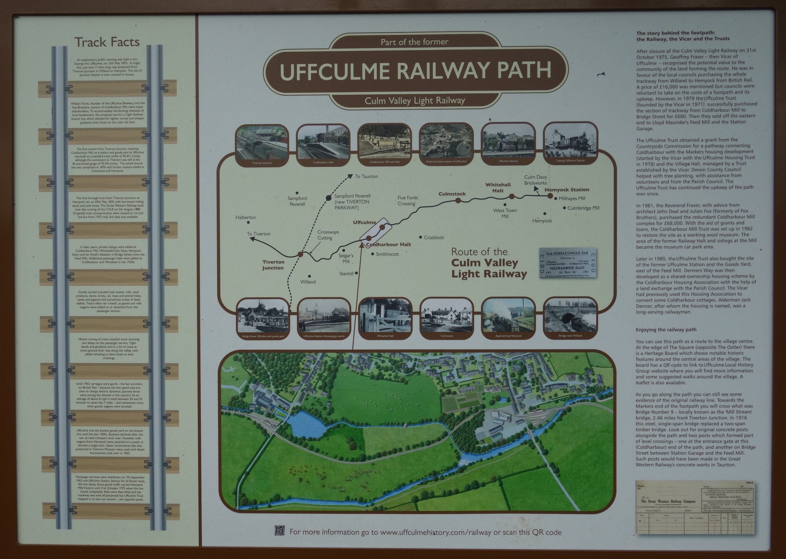


Uffculme


The Road Motor Log Book records that the utilicon ran light to Uffculme and returned with “Miscellaneous.”
He went back to the station, hoping to find somewhere to sit, but returned to The Shambles behind the tree. Here he was joined by the cheery owner of the café who came over to have a fag. The scout told him what he’d done and that he would have much preferred a coffee and a bite indoors. The owner, who’d lived in the village since he was five, told the scout that he had only been running the café for ten weeks. He complained about not being able to get staff. One young lady, who he chose because she presented herself the best when she came to enquire, simply didn’t turn up for her first shift. The scout promised that he would visit No. 11 Coffee next time he came this way.
9th July: Good to his word, the scout returned after his ride to Culmstock. Roy, the new owner, recalled: “You’re the chap from last week.” The place did not disappoint; it had a lovely atmosphere and there was much friendly banter.
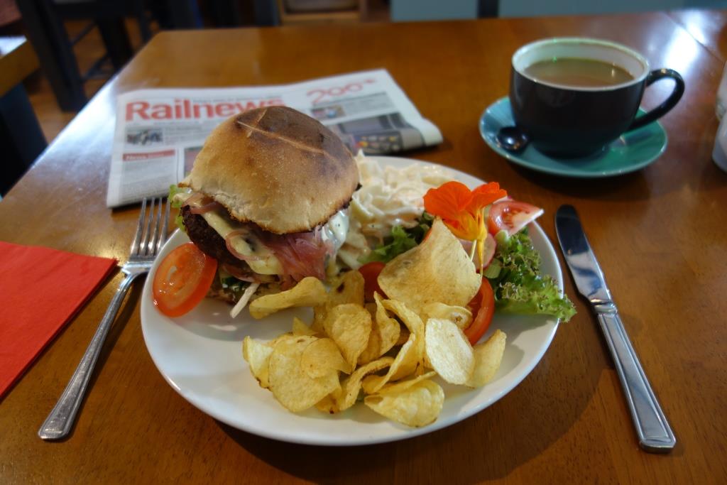
The scout put away the “Frenchy” burger with melted brie, which fortified him for his tour of the mill and the ride back to Exeter.
Roy had let his new assistant go at eleven as the place was empty, but then he was run off his feet as the village decided to turn out.


The scout left the village along Ashley Road and continued down Brooks Hill. He had intended to take footpaths and follow the line into Culmstock but decided to carry on along the road.
9th July: The following week, the scout returned to walk the length between Culmstock and the river crossing.


Culmstock


A fellow, who’d parked his car nearby, chose to exercise his dog right in front of the camera and when the scout returned, the sun had gone in.
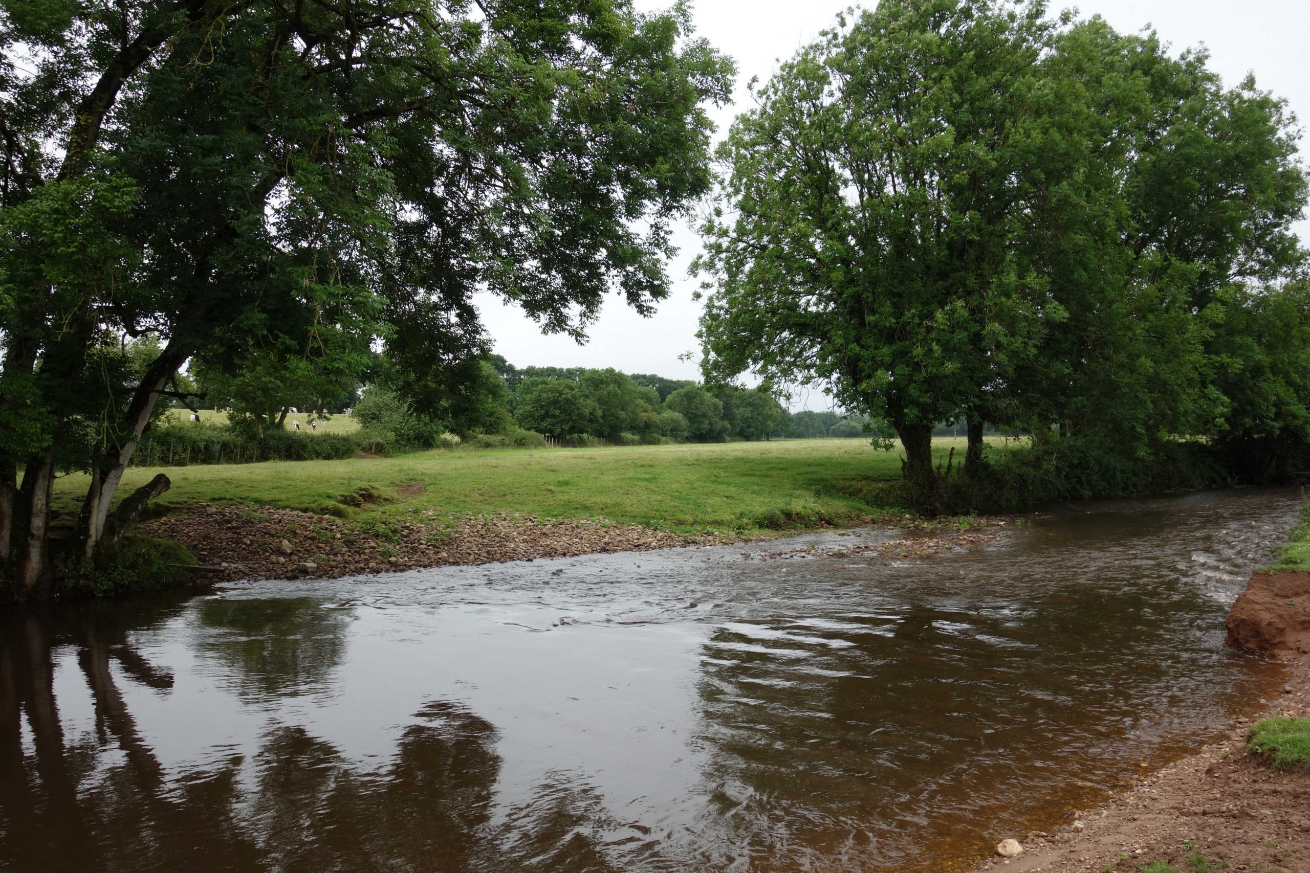
It is this river, looking very tame on a summer’s day, that causes flooding of the main line at Hele.+


Whitehall Halt


Hemyock
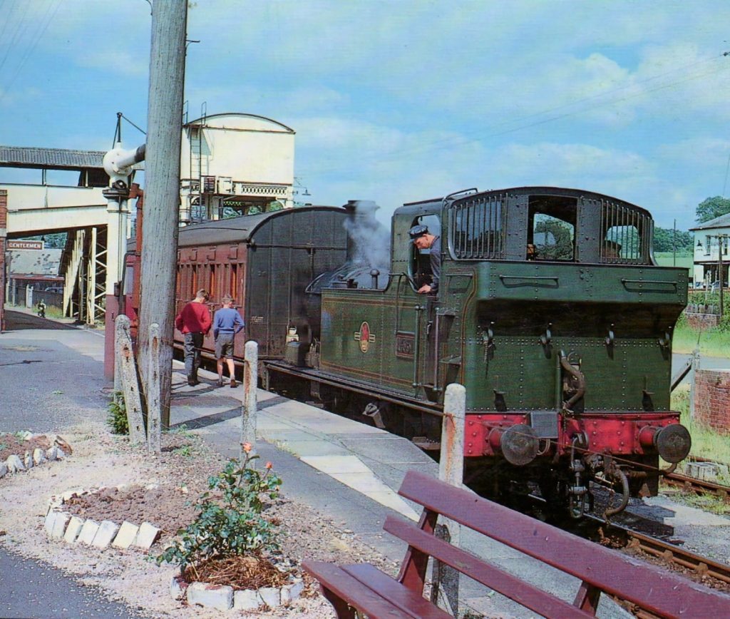
No. 1451 with a coach and brake van at Hemyock in 1959.
A single-coach train at Hemyock in 1961.


Milk tanks were not normally permitted to be loose shunted so a special arrangement must have applied at Hemyock, which is not clear from the appendix. Locos could cross the road when protected by gates but not here. Tanks were placed in the private sidings using other wagons. Riding on the brake lever of wagons was not permitted, either, but the man may have been a dairy employee.
The Hemyock Branch gallery, Cornwall Railway Society.
This Blackdown Archive has a lovely account of a journey along the line in 1961.
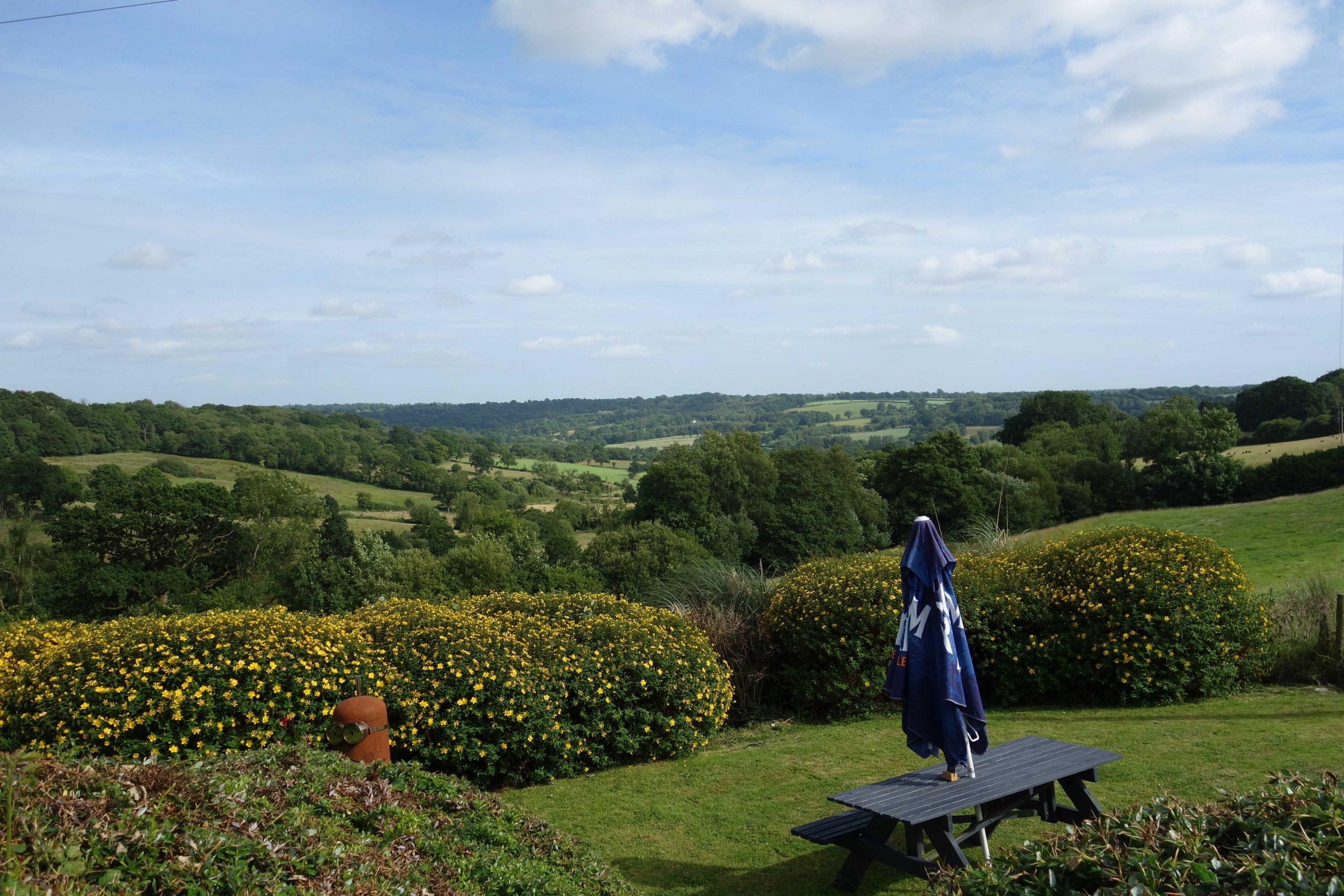
The valley floor at Hemyock lies at about 400 feet above sea level. Much of Taunton is only at 50 feet, meaning that the scout’s descent to the county town would be much longer than his ascent to the ridge. He followed a different road to Clayhidon, which involved a steep climb up Gray’s Hill to a plateau.


The scout emerged onto the ridge road at Forches Corner, which lies at just over 800 feet. The county boundary runs along the ridge and then turns away here.
The Merry Harriers, which stood on the corner, was once in Devon, but the site has now been given to Somerset.


The scout rode down the hill through Angersleigh. In Trull, he turned into Honiton Road and Trull Road took him into town.
At the station, there was late running on the Down road, the reasons for which were repeatedly given by the robotic announcer.
While he was waiting, the scout ambled along the platform to the old loco depot gate. He thought of all the men that must have passed this way. He remembered the time he and his school chums had asked the platform supervisor if they could explore the roofless shed, with its lines radiating from the turntable. In the lifting shop, strangely, people were making dummy foxhounds for a film. Much later, the T.V. utilicon took away some useful bits from here, including a workbench whose shelves were sawn up carriage destination boards.
When the scout returned to the utilicon in Exeter, he had clocked 46 miles.